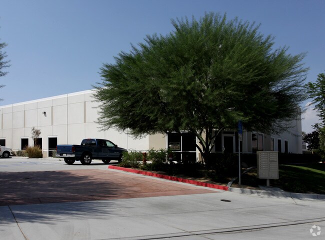
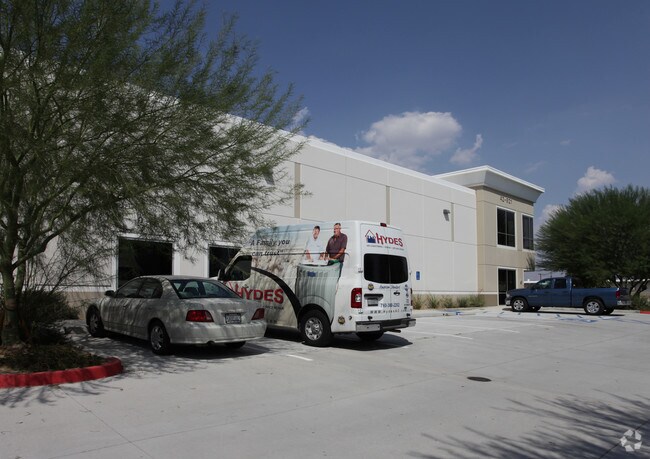
Property Record
42921 Madio St, Indio, CA 92201


Property Detail
42921 Madio St
Riverside-San Bernardino-Ontario, CA
.43 ACRES IN PAR 1 PM 223/083 PM 35564
606-092-019
Riverside
Lightindustrial
California
IP
1
2024
0.43 AC
2025
Coachella Valley
045217
Inland Empire (California)
7,525 SF
NEARBY LISTINGS FOR SALE OR LEASE
DEMOGRAPHICS near 42921 Madio St
1 mile
3 mile
5 mile
2025 Total Population
8,777
99,035
174,890
2030 Population
9,121
102,348
184,116
Pop Growth 2025-2030
+ 3.92%
+ 3.35%
+ 5.28%
Average Age
42
40
44
2025 Total Households
2,983
33,179
64,507
HH Growth 2025-2030
+ 3.79%
+ 3.29%
+ 5.78%
Median Household Inc
$80,184
$83,256
$87,431
Avg Household Size
2.90
2.90
2.60
2025 Avg HH Vehicles
2.00
2.00
2.00
Median Home Value
$534,852
$541,408
$616,392
Median Year Built
2001
1995
1997
Nearby Places
Map Layers
Map Styles
 Street
 Aerial
Transit
 Traffic
 Biking
Places
Listings with unknown addresses are not visible on the map
- Restaurants
- Banks
- Shops
- Fitness
- Groceries
PUBLIC TRANSPORTATION
AIRPORT
Palm Springs International
Drive
Walk
Distance
Palm Springs International
26 min
18.8 mi
Nearby Properties
Address
Land Use
TOTAL SIZE
Lot Size
Zoning
Address
Land Use
TOTAL SIZE
Lot Size
Zoning
21,992 SF
16.71 AC
Address
Land Use
TOTAL SIZE
Lot Size
Zoning
162,192 SF
15.42 AC
Address
Land Use
TOTAL SIZE
Lot Size
Zoning
110,354 SF
14.15 AC
RH
Address
Land Use
TOTAL SIZE
Lot Size
Zoning
73,832 SF
7.71 AC
Address
Land Use
TOTAL SIZE
Lot Size
Zoning
233,006 SF
19.12 AC
Address
Land Use
TOTAL SIZE
Lot Size
Zoning
92,591 SF
4.56 AC
Address
Land Use
TOTAL SIZE
Lot Size
Zoning
128,503 SF
6.25 AC
R3
Address
Land Use
TOTAL SIZE
Lot Size
Zoning
229,800 SF
3.89 AC
Address
Land Use
TOTAL SIZE
Lot Size
Zoning
123,134 SF
6.61 AC
RM
Address
Land Use
TOTAL SIZE
Lot Size
Zoning
139,456 SF
8.02 AC
R-3
Address
Land Use
TOTAL SIZE
Lot Size
Zoning
189,101 SF
8.98 AC
C1
Address
Land Use
TOTAL SIZE
Lot Size
Zoning
55,072 SF
6.88 AC
C2
Address
Land Use
TOTAL SIZE
Lot Size
Zoning
170,272 SF
16.28 AC
Address
Land Use
TOTAL SIZE
Lot Size
Zoning
171,910 SF
14.89 AC
C1
Address
Land Use
TOTAL SIZE
Lot Size
Zoning
208,171 SF
16.83 AC
CBOOK
Address
Land Use
TOTAL SIZE
Lot Size
Zoning
144,647 SF
16.60 AC
Address
Land Use
TOTAL SIZE
Lot Size
Zoning
197,244 SF
20.44 AC
Address
Land Use
TOTAL SIZE
Lot Size
Zoning
131,298 SF
10.06 AC
CPS
Address
Land Use
TOTAL SIZE
Lot Size
Zoning
83,753 SF
2.77 AC
RM
Address
Land Use
TOTAL SIZE
Lot Size
Zoning
158,234 SF
7.38 AC
IP
Address
Land Use
TOTAL SIZE
Lot Size
Zoning
55,695 SF
10.60 AC
C1
Address
Land Use
TOTAL SIZE
Lot Size
Zoning
58,560 SF
3.01 AC
Address
Land Use
TOTAL SIZE
Lot Size
Zoning
81,004 SF
2.99 AC
Address
Land Use
TOTAL SIZE
Lot Size
Zoning
99,301 SF
Address
Land Use
TOTAL SIZE
Lot Size
Zoning
47,305 SF
7.24 AC
RC
Address
Land Use
TOTAL SIZE
Lot Size
Zoning
52,971 SF
7.29 AC
Address
Land Use
TOTAL SIZE
Lot Size
Zoning
162,335 SF
13.66 AC
Address
Land Use
TOTAL SIZE
Lot Size
Zoning
2,841 SF
7.51 AC
A1
Address
Land Use
TOTAL SIZE
Lot Size
Zoning
103,618 SF
10.51 AC
Address
Land Use
TOTAL SIZE
Lot Size
Zoning
102,400 SF
6.98 AC
The World's #1 Commercial Real Estate Marketplace
Connect with us
© 2026 CoStar Group
The information above has been obtained from sources believed reliable. While we do not doubt its accuracy we have not verified it and make no guarantee, warranty or representation about it. It is your responsibility to independently confirm its accuracy and completeness. Any projections, opinions, assumptions, or estimates used are for example only and do not represent the current or future performance of the property. The value of this transaction to you depends on tax and other factors which should be evaluated by your tax, financial, and legal advisors. You and your advisors should conduct a careful, independent investigation of the property to determine to your satisfaction the suitability of the property for your needs.