Property Record
4321 S Interstate 35, San Marcos, TX 78666


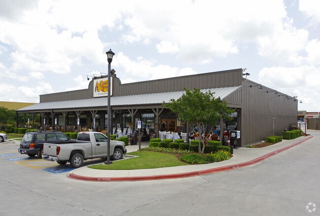
Property Detail
4321 S Interstate 35
Austin-Round Rock-San Marcos, TX
TANGER FACTORY OUTLET, LOT 2B, ACRES 0.99
R97947
HAYS
Commercialnec
Texas
B and X Area of moderate flood hazard, usually the area between the limits of the 100-year and 500-year floods.
2b
2024
0.99 AC
2025
Hays County
010402
Austin
10,030 SF
NEARBY LISTINGS FOR SALE OR LEASE
DEMOGRAPHICS near 4321 S Interstate 35
1 mile
3 mile
5 mile
2024 Total Population
1,031
12,686
44,980
2029 Population
1,231
15,001
52,252
Pop Growth 2024-2029
+ 19.40%
+ 18.25%
+ 16.17%
Average Age
33
39
37
2024 Total Households
457
5,410
17,609
HH Growth 2024-2029
+ 20.35%
+ 19.33%
+ 17.53%
Median Household Inc
$54,838
$61,733
$65,789
Avg Household Size
2.20
2.30
2.40
2024 Avg HH Vehicles
2.00
2.00
2.00
Median Home Value
$440,000
$387,633
$337,931
Median Year Built
2010
2008
2002
Nearby Places
Map Layers
Map Styles
 Street
 Aerial
Transit
 Traffic
 Biking
Places
Listings with unknown addresses are not visible on the map
- Restaurants
- Banks
- Shops
- Fitness
- Groceries
PUBLIC TRANSPORTATION
COMMUTER RAIL
San Marcos Amtrak (Texas Eagle - Amtrak)
Drive
Walk
Distance
San Marcos Amtrak (Texas Eagle - Amtrak)
8 min
5.6 mi
Freight Ports
Calhoun Port
Drive
Walk
Distance
Calhoun Port
169 min
140.1 mi
Nearby Properties
Address
Land Use
TOTAL SIZE
Lot Size
Zoning
Address
Land Use
TOTAL SIZE
Lot Size
Zoning
960 SF
100.89 AC
Address
Land Use
TOTAL SIZE
Lot Size
Zoning
70,432 SF
45.07 AC
Address
Land Use
TOTAL SIZE
Lot Size
Zoning
855,000 SF
95.65 AC
Address
Land Use
TOTAL SIZE
Lot Size
Zoning
289,554 SF
76.50 AC
Address
Land Use
TOTAL SIZE
Lot Size
Zoning
454,563 SF
16.44 AC
Address
Land Use
TOTAL SIZE
Lot Size
Zoning
250,811 SF
23.88 AC
Address
Land Use
TOTAL SIZE
Lot Size
Zoning
326,836 SF
16.38 AC
Address
Land Use
TOTAL SIZE
Lot Size
Zoning
239,345 SF
23.41 AC
Address
Land Use
TOTAL SIZE
Lot Size
Zoning
223,401 SF
9.75 AC
Address
Land Use
TOTAL SIZE
Lot Size
Zoning
184,438 SF
12.57 AC
Address
Land Use
TOTAL SIZE
Lot Size
Zoning
343,560 SF
10.40 AC
Address
Land Use
TOTAL SIZE
Lot Size
Zoning
255,621 SF
8.83 AC
Address
Land Use
TOTAL SIZE
Lot Size
Zoning
307,962 SF
14.23 AC
Address
Land Use
TOTAL SIZE
Lot Size
Zoning
115.78 AC
Address
Land Use
TOTAL SIZE
Lot Size
Zoning
341,111 SF
20.94 AC
Address
Land Use
TOTAL SIZE
Lot Size
Zoning
190,554 SF
5.59 AC
Address
Land Use
TOTAL SIZE
Lot Size
Zoning
195,018 SF
7.37 AC
Address
Land Use
TOTAL SIZE
Lot Size
Zoning
305,644 SF
27.93 AC
Address
Land Use
TOTAL SIZE
Lot Size
Zoning
222,984 SF
12.85 AC
Address
Land Use
TOTAL SIZE
Lot Size
Zoning
240,123 SF
8.75 AC
Address
Land Use
TOTAL SIZE
Lot Size
Zoning
127,306 SF
20.85 AC
Address
Land Use
TOTAL SIZE
Lot Size
Zoning
146,295 SF
5.08 AC
Address
Land Use
TOTAL SIZE
Lot Size
Zoning
165,000 SF
9.78 AC
Address
Land Use
TOTAL SIZE
Lot Size
Zoning
167,289 SF
6.04 AC
Address
Land Use
TOTAL SIZE
Lot Size
Zoning
Address
Land Use
TOTAL SIZE
Lot Size
Zoning
14,902 SF
7.74 AC
Address
Land Use
TOTAL SIZE
Lot Size
Zoning
174,515 SF
17.99 AC
Address
Land Use
TOTAL SIZE
Lot Size
Zoning
163,600 SF
13.83 AC
Address
Land Use
TOTAL SIZE
Lot Size
Zoning
265,066 SF
Address
Land Use
TOTAL SIZE
Lot Size
Zoning
129,978 SF
0.85 AC
The World's #1 Commercial Real Estate Marketplace
Connect with us
© 2026 CoStar Group
The information above has been obtained from sources believed reliable. While we do not doubt its accuracy we have not verified it and make no guarantee, warranty or representation about it. It is your responsibility to independently confirm its accuracy and completeness. Any projections, opinions, assumptions, or estimates used are for example only and do not represent the current or future performance of the property. The value of this transaction to you depends on tax and other factors which should be evaluated by your tax, financial, and legal advisors. You and your advisors should conduct a careful, independent investigation of the property to determine to your satisfaction the suitability of the property for your needs.