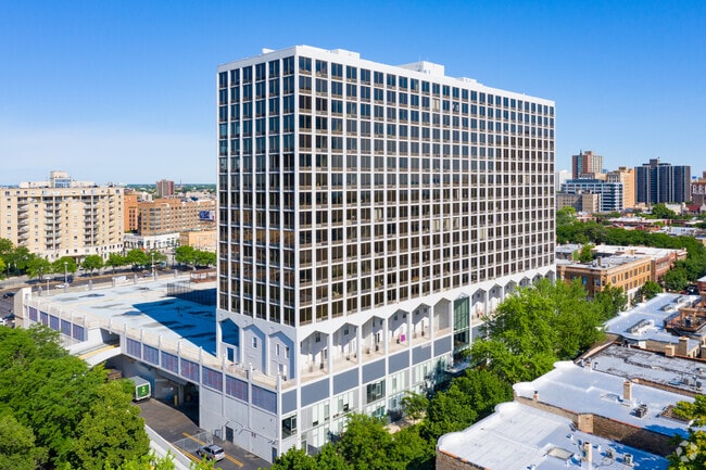
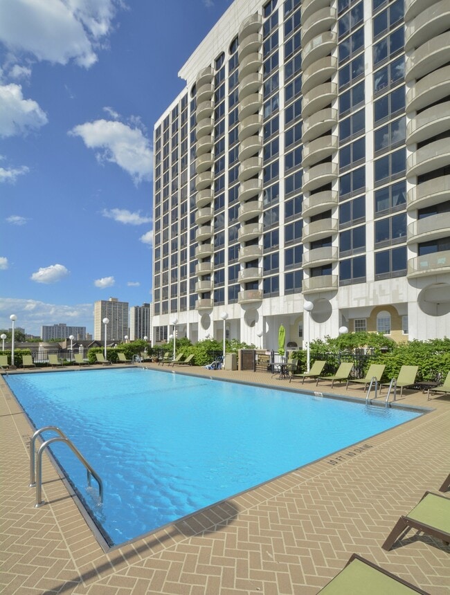
Property Record
4316 N Hazel St, Chicago, IL 60613
Property Detail
4316 N Hazel St
Regionalshoppingcenterormallwithanchorstore
COOK
PD 132
Illinois
B and X Area of moderate flood hazard, usually the area between the limits of the 100-year and 500-year floods.
0.51 AC
2023
Uptown Chicago
2025
Chicago
032100
Chicago-Naperville-Elgin, IL-IN
40,900 SF
14-17-406-012-0000
NEARBY LISTINGS FOR SALE OR LEASE
DEMOGRAPHICS near 4316 N Hazel St
1 mile
3 mile
5 mile
2025 Total Population
77,281
409,185
924,753
2030 Population
78,162
410,217
923,240
Pop Growth 2025-2030
+ 1.14%
+ 0.25%
(0.16%)
Average Age
39
38
38
2025 Total Households
43,298
205,069
438,956
HH Growth 2025-2030
+ 0.92%
+ 0.14%
(0.14%)
Median Household Inc
$75,240
$92,388
$96,040
Avg Household Size
1.70
1.90
2.00
2025 Avg HH Vehicles
1.00
1.00
1.00
Median Home Value
$360,851
$469,943
$472,507
Median Year Built
1955
1951
1952
Nearby Places
Map Layers
Map Styles
 Street
 Aerial
Layers
 Traffic
 Biking
Places
Listings with unknown addresses are not visible on the map
- Restaurants
- Banks
- Shops
- Fitness
- Groceries
PUBLIC TRANSPORTATION
TRANSIT/SUBWAY
Wilson-North Inner (Purple Line - Chicago Transit Authority, Red Line - Chicago Transit Authority)
Drive
Walk
Distance
Wilson-North Inner (Purple Line - Chicago Transit Authority, Red Line - Chicago Transit Authority)
1 min
8 min
0.4 mi
Sheridan Station (Red Line - Chicago Transit Authority "L" Trains (The "L"))
Drive
Walk
Distance
Sheridan Station (Red Line - Chicago Transit Authority "L" Trains (The "L"))
1 min
11 min
0.6 mi
COMMUTER RAIL
Ravenswood Station (Union Pacific North Line - Northeast Illinois Regional Commuter Railroad (Metra))
Drive
Walk
Distance
Ravenswood Station (Union Pacific North Line - Northeast Illinois Regional Commuter Railroad (Metra))
4 min
1.6 mi
Peterson/Ridge (Union Pacific North - Metra)
Drive
Walk
Distance
Peterson/Ridge (Union Pacific North - Metra)
6 min
3.5 mi
AIRPORT
Chicago O'Hare International
Drive
Walk
Distance
Chicago O'Hare International
24 min
14.7 mi
Chicago Midway International
Drive
Walk
Distance
Chicago Midway International
27 min
18.2 mi
Freight Ports
Port Milwaukee
Drive
Walk
Distance
Port Milwaukee
102 min
80.8 mi
SALE & LEASE HISTORY
LISTING DATE
SALE/LEASE

Nov 11, 2024
For Lease
Jun 24, 2019
For Lease
Jul 01, 2019
For Lease
Jan 10, 2019
For Lease
Nearby Properties
Address
Land Use
TOTAL SIZE
Lot Size
Zoning
Address
Land Use
TOTAL SIZE
Lot Size
Zoning
0.63 AC
PD 1372
Address
Land Use
TOTAL SIZE
Lot Size
Zoning
222,240 SF
2.45 AC
PD 1439
Address
Land Use
TOTAL SIZE
Lot Size
Zoning
Address
Land Use
TOTAL SIZE
Lot Size
Zoning
0.96 AC
PD 958
Address
Land Use
TOTAL SIZE
Lot Size
Zoning
16.93 AC
POS-1,PD 1
Address
Land Use
TOTAL SIZE
Lot Size
Zoning
19,500 SF
12.06 AC
PD 367
Address
Land Use
TOTAL SIZE
Lot Size
Zoning
277,195 SF
1.78 AC
PD 1094
Address
Land Use
TOTAL SIZE
Lot Size
Zoning
268,778 SF
0.59 AC
RM-6.5
Address
Land Use
TOTAL SIZE
Lot Size
Zoning
301,100 SF
2.20 AC
PD 37
Address
Land Use
TOTAL SIZE
Lot Size
Zoning
0.94 AC
PD 536
Address
Land Use
TOTAL SIZE
Lot Size
Zoning
1 AC
RS-3
Address
Land Use
TOTAL SIZE
Lot Size
Zoning
0.64 AC
PD 158
Address
Land Use
TOTAL SIZE
Lot Size
Zoning
0.81 AC
PD 158
Address
Land Use
TOTAL SIZE
Lot Size
Zoning
82,000 SF
9.68 AC
PD 437
Address
Land Use
TOTAL SIZE
Lot Size
Zoning
190,011 SF
5.90 AC
PD 353
Address
Land Use
TOTAL SIZE
Lot Size
Zoning
147,835 SF
1.03 AC
PD 37
Address
Land Use
TOTAL SIZE
Lot Size
Zoning
170,538 SF
0.76 AC
PD 112
Address
Land Use
TOTAL SIZE
Lot Size
Zoning
331,294 SF
13.03 AC
PD 439
Address
Land Use
TOTAL SIZE
Lot Size
Zoning
71,400 SF
0.95 AC
RT-4,B3-2
Address
Land Use
TOTAL SIZE
Lot Size
Zoning
311,556 SF
PD 1420
Address
Land Use
TOTAL SIZE
Lot Size
Zoning
201,600 SF
1.93 AC
PD 92
Address
Land Use
TOTAL SIZE
Lot Size
Zoning
2.25 AC
PD 612
Address
Land Use
TOTAL SIZE
Lot Size
Zoning
0.69 AC
PD 536
Address
Land Use
TOTAL SIZE
Lot Size
Zoning
162,700 SF
0.64 AC
PD 50
Address
Land Use
TOTAL SIZE
Lot Size
Zoning
55,476 SF
6.16 AC
PD 619
Address
Land Use
TOTAL SIZE
Lot Size
Zoning
140,451 SF
9.48 AC
PD 213
Address
Land Use
TOTAL SIZE
Lot Size
Zoning
17,594 SF
0.11 AC
B2-5
Address
Land Use
TOTAL SIZE
Lot Size
Zoning
1.35 AC
PD 1194
Address
Land Use
TOTAL SIZE
Lot Size
Zoning
226,345 SF
3.71 AC
PD 1203
Address
Land Use
TOTAL SIZE
Lot Size
Zoning
144,865 SF
0.21 AC
The World's #1 Commercial Real Estate Marketplace
Connect with us
© 2026 CoStar Group
The information above has been obtained from sources believed reliable. While we do not doubt its accuracy we have not verified it and make no guarantee, warranty or representation about it. It is your responsibility to independently confirm its accuracy and completeness. Any projections, opinions, assumptions, or estimates used are for example only and do not represent the current or future performance of the property. The value of this transaction to you depends on tax and other factors which should be evaluated by your tax, financial, and legal advisors. You and your advisors should conduct a careful, independent investigation of the property to determine to your satisfaction the suitability of the property for your needs.