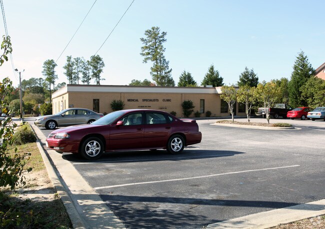
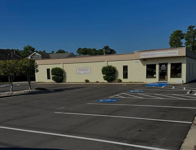
Property Record
4384 Fayetteville Rd, Lumberton, NC 28358
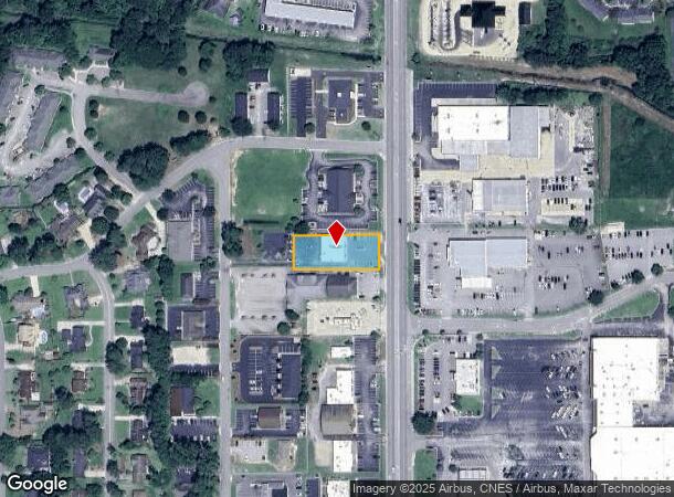
NEARBY LISTINGS FOR SALE OR LEASE
Property Detail
4384 Fayetteville Rd
1009-03-008
TRACT B
Officebuilding
Robeson
X
North Carolina
3710939200K
8
2025
0.57 AC
2025
North Carolina Southeast Area
961302
Other Market Areas
3,116 SF
Lumberton, NC
DEMOGRAPHICS near 4384 Fayetteville Rd
1 Mile
3 Mile
5 Mile
2024 Total Population
3,931
20,274
33,513
2029 Population
3,936
20,490
34,001
Pop Growth 2024-2029
+ 0.13%
+ 1.07%
+ 1.46%
Average Age
44
40
39
2024 Total Households
1,603
8,088
12,780
HH Growth 2024-2029
+ 0.19%
+ 0.99%
+ 1.48%
Median Household Inc
$64,720
$44,440
$41,323
Avg Household Size
2.30
2.40
2.50
2024 Avg HH Vehicles
2.00
2.00
2.00
Median Home Value
$191,396
$133,970
$113,037
Median Year Built
1988
1978
1980
Nearby Places
- Restaurants
- Banks
- Shops
- Fitness
- Groceries
PUBLIC TRANSPORTATION
AIRPORT
Fayetteville Regional/Grannis Field
DRIVE
WALK
Distance
Fayetteville Regional/Grannis Field
34 min
26.4 mi
SALE & LEASE HISTORY
LISTING DATE
SALE/LEASE

Sep 28, 2023
For Lease
Nearby Properties
Address
Land Use
TOTAL SIZE
Lot Size
Zoning
Address
Land Use
TOTAL SIZE
Lot Size
Zoning
59,810 SF
7.69 AC
R7
Address
Land Use
TOTAL SIZE
Lot Size
Zoning
116,616 SF
10.18 AC
B6
Address
Land Use
TOTAL SIZE
Lot Size
Zoning
82,115 SF
39.22 AC
R15
Address
Land Use
TOTAL SIZE
Lot Size
Zoning
24,173 SF
44.32 AC
B3
Address
Land Use
TOTAL SIZE
Lot Size
Zoning
54,400 SF
69.94 AC
R20
Address
Land Use
TOTAL SIZE
Lot Size
Zoning
204,470 SF
18.21 AC
B4
Address
Land Use
TOTAL SIZE
Lot Size
Zoning
88,206 SF
19.07 AC
B4
Address
Land Use
TOTAL SIZE
Lot Size
Zoning
134,160 SF
0.26 AC
B6
Address
Land Use
TOTAL SIZE
Lot Size
Zoning
128,531 SF
22.20 AC
B4
Address
Land Use
TOTAL SIZE
Lot Size
Zoning
139,629 SF
19.05 AC
B4
Address
Land Use
TOTAL SIZE
Lot Size
Zoning
134,785 SF
17.82 AC
CUPB4
Address
Land Use
TOTAL SIZE
Lot Size
Zoning
36,329 SF
16.87 AC
R6
Address
Land Use
TOTAL SIZE
Lot Size
Zoning
60,906 SF
26.55 AC
Address
Land Use
TOTAL SIZE
Lot Size
Zoning
90,800 SF
36.65 AC
R20
Address
Land Use
TOTAL SIZE
Lot Size
Zoning
69,234 SF
3.18 AC
B5
Address
Land Use
TOTAL SIZE
Lot Size
Zoning
59,624 SF
2.19 AC
B4
Address
Land Use
TOTAL SIZE
Lot Size
Zoning
67,728 SF
1.50 AC
B1
Address
Land Use
TOTAL SIZE
Lot Size
Zoning
56,932 SF
1.37 AC
B4
Address
Land Use
TOTAL SIZE
Lot Size
Zoning
69,765 SF
9.51 AC
B4
Address
Land Use
TOTAL SIZE
Lot Size
Zoning
23,442 SF
7.22 AC
R6
Address
Land Use
TOTAL SIZE
Lot Size
Zoning
63,964 SF
5.65 AC
B5
Address
Land Use
TOTAL SIZE
Lot Size
Zoning
33,546 SF
4.97 AC
B4
Address
Land Use
TOTAL SIZE
Lot Size
Zoning
48,260 SF
2.95 AC
B5
Address
Land Use
TOTAL SIZE
Lot Size
Zoning
4,048 SF
12.73 AC
R3
Address
Land Use
TOTAL SIZE
Lot Size
Zoning
88,710 SF
1.11 AC
B1
Address
Land Use
TOTAL SIZE
Lot Size
Zoning
95,143 SF
7.55 AC
B4
Address
Land Use
TOTAL SIZE
Lot Size
Zoning
51,003 SF
8.49 AC
B3
Address
Land Use
TOTAL SIZE
Lot Size
Zoning
62,404 SF
12.88 AC
Address
Land Use
TOTAL SIZE
Lot Size
Zoning
34,998 SF
3.15 AC
B5
Address
Land Use
TOTAL SIZE
Lot Size
Zoning
59,635 SF
10.24 AC
R11
The World's #1 Commercial Real Estate Marketplace
Connect with us
© 2025 CoStar Group
The information above has been obtained from sources believed reliable. While we do not doubt its accuracy we have not verified it and make no guarantee, warranty or representation about it. It is your responsibility to independently confirm its accuracy and completeness. Any projections, opinions, assumptions, or estimates used are for example only and do not represent the current or future performance of the property. The value of this transaction to you depends on tax and other factors which should be evaluated by your tax, financial, and legal advisors. You and your advisors should conduct a careful, independent investigation of the property to determine to your satisfaction the suitability of the property for your needs.