Property Record
440 Walton Ave, Hummelstown, PA 17036
NEARBY LISTINGS FOR SALE OR LEASE
Property Detail
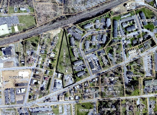
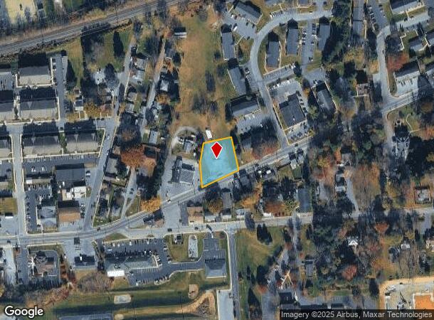
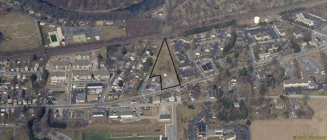
440 Walton Ave
31-031-025
Dauphin
Parkinglot
Pennsylvania
X
0.45 AC
42043C0364D
Harrisburg Area East
2025
Philadelphia
2025
Harrisburg-Carlisle, PA
024503
DEMOGRAPHICS near 440 Walton Ave
1 Mile
3 Mile
5 Mile
2024 Total Population
3,712
32,808
73,460
2029 Population
3,780
33,388
74,899
Pop Growth 2024-2029
+ 1.83%
+ 1.77%
+ 1.96%
Average Age
41
41
41
2024 Total Households
1,769
13,357
29,393
HH Growth 2024-2029
+ 2.04%
+ 1.86%
+ 2.06%
Median Household Inc
$55,430
$83,626
$84,999
Avg Household Size
2.10
2.30
2.40
2024 Avg HH Vehicles
2.00
2.00
2.00
Median Home Value
$251,302
$292,220
$258,074
Median Year Built
1965
1978
1982
Nearby Places
Map Layers
Map Styles
 Street
 Aerial
- Restaurants
- Banks
- Shops
- Fitness
- Groceries
PUBLIC TRANSPORTATION
COMMUTER RAIL
DRIVE
WALK
Distance
16 min
6.5 mi
AIRPORT
Harrisburg International
DRIVE
WALK
Distance
Harrisburg International
18 min
8.8 mi
Freight Ports
Port Newark Container Terminal
DRIVE
WALK
Distance
Port Newark Container Terminal
121 min
79.7 mi
SALE & LEASE HISTORY
LISTING DATE
SALE/LEASE

May 10, 2018
For Sale
Jun 14, 2019
For Sale
Jul 13, 2020
For Lease
Nearby Properties
Address
Land Use
TOTAL SIZE
Lot Size
Zoning
Address
Land Use
TOTAL SIZE
Lot Size
Zoning
1,414,742 SF
216.49 AC
Address
Land Use
TOTAL SIZE
Lot Size
Zoning
8,765 SF
345.74 AC
Address
Land Use
TOTAL SIZE
Lot Size
Zoning
2,106 SF
458.45 AC
Address
Land Use
TOTAL SIZE
Lot Size
Zoning
57,016 SF
43.70 AC
Address
Land Use
TOTAL SIZE
Lot Size
Zoning
150,330 SF
39.35 AC
Address
Land Use
TOTAL SIZE
Lot Size
Zoning
1,619 SF
125.81 AC
Address
Land Use
TOTAL SIZE
Lot Size
Zoning
157,968 SF
Address
Land Use
TOTAL SIZE
Lot Size
Zoning
4,176 SF
192.96 AC
Address
Land Use
TOTAL SIZE
Lot Size
Zoning
247,060 SF
102.86 AC
Address
Land Use
TOTAL SIZE
Lot Size
Zoning
188,919 SF
193.39 AC
Address
Land Use
TOTAL SIZE
Lot Size
Zoning
3,135 SF
51.95 AC
Address
Land Use
TOTAL SIZE
Lot Size
Zoning
44,410 SF
5.91 AC
Address
Land Use
TOTAL SIZE
Lot Size
Zoning
211,430 SF
38.50 AC
Address
Land Use
TOTAL SIZE
Lot Size
Zoning
9,335 SF
39.62 AC
Address
Land Use
TOTAL SIZE
Lot Size
Zoning
1,196 SF
50.34 AC
Address
Land Use
TOTAL SIZE
Lot Size
Zoning
3,232 SF
38.86 AC
Address
Land Use
TOTAL SIZE
Lot Size
Zoning
19,194 SF
17.80 AC
Address
Land Use
TOTAL SIZE
Lot Size
Zoning
239,046 SF
23 AC
Address
Land Use
TOTAL SIZE
Lot Size
Zoning
507,000 SF
32.82 AC
Address
Land Use
TOTAL SIZE
Lot Size
Zoning
121,119 SF
17.01 AC
Address
Land Use
TOTAL SIZE
Lot Size
Zoning
29,000 SF
4.64 AC
Address
Land Use
TOTAL SIZE
Lot Size
Zoning
95,192 SF
52.43 AC
Address
Land Use
TOTAL SIZE
Lot Size
Zoning
77,280 SF
9.60 AC
Address
Land Use
TOTAL SIZE
Lot Size
Zoning
32,782 SF
5.42 AC
Address
Land Use
TOTAL SIZE
Lot Size
Zoning
13,050 SF
4.46 AC
Address
Land Use
TOTAL SIZE
Lot Size
Zoning
59,760 SF
61.67 AC
Address
Land Use
TOTAL SIZE
Lot Size
Zoning
111,546 SF
2.76 AC
Address
Land Use
TOTAL SIZE
Lot Size
Zoning
170.34 AC
Address
Land Use
TOTAL SIZE
Lot Size
Zoning
65,822 SF
10.48 AC
Address
Land Use
TOTAL SIZE
Lot Size
Zoning
284,450 SF
23.90 AC
The World's #1 Commercial Real Estate Marketplace
Connect with us
© 2025 CoStar Group
The information above has been obtained from sources believed reliable. While we do not doubt its accuracy we have not verified it and make no guarantee, warranty or representation about it. It is your responsibility to independently confirm its accuracy and completeness. Any projections, opinions, assumptions, or estimates used are for example only and do not represent the current or future performance of the property. The value of this transaction to you depends on tax and other factors which should be evaluated by your tax, financial, and legal advisors. You and your advisors should conduct a careful, independent investigation of the property to determine to your satisfaction the suitability of the property for your needs.