Property Record
441 E Arrowood Rd, Charlotte, NC 28217


Property Detail
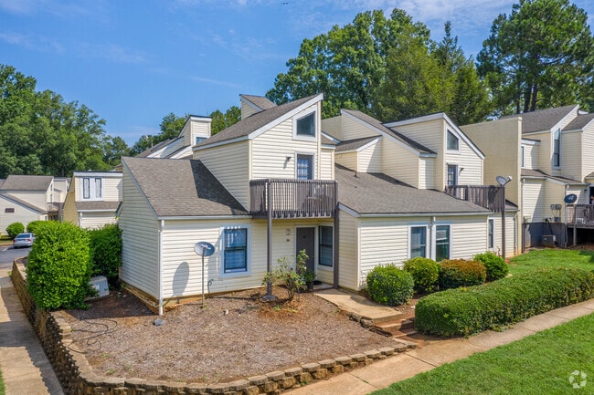
441 E Arrowood Rd
169-241-05
MECKLENBURG
Multifamilydwelling
North Carolina
R12MF
5
AE The base floodplain where base flood elevations are provided. AE Zones are now used on new format FIRMs instead of A1-A30 Zones.
25.85 AC
2024
Montclaire South
2025
Charlotte
003808
Charlotte-Concord-Gastonia, NC-SC
238,604 SF
NEARBY LISTINGS FOR SALE OR LEASE
DEMOGRAPHICS near 441 E Arrowood Rd
1 mile
3 mile
5 mile
2025 Total Population
15,644
86,149
208,491
2030 Population
17,061
93,341
226,670
Pop Growth 2025-2030
+ 9.06%
+ 8.35%
+ 8.72%
Average Age
33
37
38
2025 Total Households
5,582
37,757
90,726
HH Growth 2025-2030
+ 9.06%
+ 8.42%
+ 8.80%
Median Household Inc
$54,958
$80,835
$92,458
Avg Household Size
2.70
2.20
2.20
2025 Avg HH Vehicles
2.00
2.00
2.00
Median Home Value
$354,143
$470,193
$554,872
Median Year Built
1984
1987
1990
Nearby Places
Map Layers
Map Styles
 Street
 Aerial
Transit
 Traffic
 Biking
Places
Listings with unknown addresses are not visible on the map
- Restaurants
- Banks
- Shops
- Fitness
- Groceries
PUBLIC TRANSPORTATION
TRANSIT/SUBWAY
Arrowood (LYNX Blue Line - Charlotte Area Transit System (CATS))
Drive
Walk
Distance
Arrowood (LYNX Blue Line - Charlotte Area Transit System (CATS))
2 min
16 min
0.8 mi
AIRPORT
Charlotte/Douglas International
Drive
Walk
Distance
Charlotte/Douglas International
18 min
8.2 mi
Concord-Padgett Regional
Drive
Walk
Distance
Concord-Padgett Regional
37 min
24.2 mi
Nearby Properties
Address
Land Use
TOTAL SIZE
Lot Size
Zoning
Address
Land Use
TOTAL SIZE
Lot Size
Zoning
965,867 SF
5.81 AC
O1
Address
Land Use
TOTAL SIZE
Lot Size
Zoning
709,410 SF
22.24 AC
INSTCD
Address
Land Use
TOTAL SIZE
Lot Size
Zoning
605,976 SF
46.31 AC
R17MF
Address
Land Use
TOTAL SIZE
Lot Size
Zoning
573,667 SF
5.81 AC
MUDDO
Address
Land Use
TOTAL SIZE
Lot Size
Zoning
646,209 SF
72.24 AC
CC
Address
Land Use
TOTAL SIZE
Lot Size
Zoning
546,111 SF
4.85 AC
MUDDCD
Address
Land Use
TOTAL SIZE
Lot Size
Zoning
572,979 SF
5.60 AC
O3
Address
Land Use
TOTAL SIZE
Lot Size
Zoning
460,937 SF
2.67 AC
O1
Address
Land Use
TOTAL SIZE
Lot Size
Zoning
544,973 SF
3.42 AC
Address
Land Use
TOTAL SIZE
Lot Size
Zoning
393,779 SF
26.71 AC
R17MF
Address
Land Use
TOTAL SIZE
Lot Size
Zoning
471,303 SF
4.30 AC
O3
Address
Land Use
TOTAL SIZE
Lot Size
Zoning
395,382 SF
9.84 AC
MUDDO
Address
Land Use
TOTAL SIZE
Lot Size
Zoning
408,632 SF
50 AC
R12MFCD
Address
Land Use
TOTAL SIZE
Lot Size
Zoning
518,503 SF
5.34 AC
O1
Address
Land Use
TOTAL SIZE
Lot Size
Zoning
430,000 SF
7.25 AC
MUDDO
Address
Land Use
TOTAL SIZE
Lot Size
Zoning
381,729 SF
22.37 AC
R17MF
Address
Land Use
TOTAL SIZE
Lot Size
Zoning
371,416 SF
30.90 AC
BPCD
Address
Land Use
TOTAL SIZE
Lot Size
Zoning
424,279 SF
4.20 AC
R43MF
Address
Land Use
TOTAL SIZE
Lot Size
Zoning
298,298 SF
16.60 AC
R17MFCD
Address
Land Use
TOTAL SIZE
Lot Size
Zoning
1,007,888 SF
55.04 AC
G-I
Address
Land Use
TOTAL SIZE
Lot Size
Zoning
339,546 SF
7.52 AC
Address
Land Use
TOTAL SIZE
Lot Size
Zoning
307,493 SF
24.47 AC
R12MFCD
Address
Land Use
TOTAL SIZE
Lot Size
Zoning
604,827 SF
41.01 AC
O1CD
Address
Land Use
TOTAL SIZE
Lot Size
Zoning
302,196 SF
6.60 AC
I2
Address
Land Use
TOTAL SIZE
Lot Size
Zoning
476,244 SF
2.78 AC
Address
Land Use
TOTAL SIZE
Lot Size
Zoning
231,502 SF
2.22 AC
MUDDO
Address
Land Use
TOTAL SIZE
Lot Size
Zoning
14,297 SF
3.32 AC
TOD-CC
Address
Land Use
TOTAL SIZE
Lot Size
Zoning
329,369 SF
23.03 AC
Address
Land Use
TOTAL SIZE
Lot Size
Zoning
267,294 SF
16.43 AC
NS
The World's #1 Commercial Real Estate Marketplace
Connect with us
© 2026 CoStar Group
The information above has been obtained from sources believed reliable. While we do not doubt its accuracy we have not verified it and make no guarantee, warranty or representation about it. It is your responsibility to independently confirm its accuracy and completeness. Any projections, opinions, assumptions, or estimates used are for example only and do not represent the current or future performance of the property. The value of this transaction to you depends on tax and other factors which should be evaluated by your tax, financial, and legal advisors. You and your advisors should conduct a careful, independent investigation of the property to determine to your satisfaction the suitability of the property for your needs.