Property Record
441 Expressway, Clarkesville, GA 30523


Property Detail
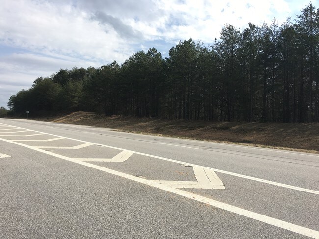
441 Expressway
140-147
13-157 L-7 1295-355
Residentialacreage
HABERSHAM
LI
Georgia
B and X Area of moderate flood hazard, usually the area between the limits of the 100-year and 500-year floods.
2.05 AC
2025
Georgia Northeast
2025
Other Market Areas
000203
Cornelia, GA
NEARBY LISTINGS FOR SALE OR LEASE
DEMOGRAPHICS near 441 Expressway
1 mile
3 mile
5 mile
2025 Total Population
125
1,253
3,913
2030 Population
133
1,333
4,179
Pop Growth 2025-2030
+ 6.40%
+ 6.38%
+ 6.80%
Average Age
46
47
47
2025 Total Households
50
497
1,585
HH Growth 2025-2030
+ 6.00%
+ 6.44%
+ 6.81%
Median Household Inc
$91,666
$93,222
$84,421
Avg Household Size
2.50
2.50
2.40
2025 Avg HH Vehicles
2.00
2.00
2.00
Median Home Value
$350,000
$338,953
$357,075
Median Year Built
1990
1991
1993
Nearby Places
Map Layers
Map Styles
 Street
 Aerial
Layers
 Traffic
 Biking
Places
Listings with unknown addresses are not visible on the map
- Restaurants
- Banks
- Shops
- Fitness
- Groceries
SALE & LEASE HISTORY
LISTING DATE
SALE/LEASE

Apr 17, 2017
For Sale
Nearby Properties
Address
Land Use
TOTAL SIZE
Lot Size
Zoning
Address
Land Use
TOTAL SIZE
Lot Size
Zoning
1,100 AC
LI
Address
Land Use
TOTAL SIZE
Lot Size
Zoning
935 AC
LI
Address
Land Use
TOTAL SIZE
Lot Size
Zoning
663.30 AC
LI
Address
Land Use
TOTAL SIZE
Lot Size
Zoning
578 AC
LI
Address
Land Use
TOTAL SIZE
Lot Size
Zoning
496.60 AC
A
Address
Land Use
TOTAL SIZE
Lot Size
Zoning
445.30 AC
LI
Address
Land Use
TOTAL SIZE
Lot Size
Zoning
444.63 AC
SL
Address
Land Use
TOTAL SIZE
Lot Size
Zoning
374.83 AC
SL
Address
Land Use
TOTAL SIZE
Lot Size
Zoning
2,148 SF
36.59 AC
LI
Address
Land Use
TOTAL SIZE
Lot Size
Zoning
218.40 AC
LI
Address
Land Use
TOTAL SIZE
Lot Size
Zoning
213.49 AC
R1
Address
Land Use
TOTAL SIZE
Lot Size
Zoning
888 SF
50.39 AC
LI
Address
Land Use
TOTAL SIZE
Lot Size
Zoning
188 AC
LI
Address
Land Use
TOTAL SIZE
Lot Size
Zoning
172.12 AC
R1
Address
Land Use
TOTAL SIZE
Lot Size
Zoning
11,924 SF
188.29 AC
HI
Address
Land Use
TOTAL SIZE
Lot Size
Zoning
2,029 SF
137.02 AC
LI
Address
Land Use
TOTAL SIZE
Lot Size
Zoning
156.89 AC
AGRI
Address
Land Use
TOTAL SIZE
Lot Size
Zoning
143.15 AC
LI
Address
Land Use
TOTAL SIZE
Lot Size
Zoning
131.51 AC
R1
Address
Land Use
TOTAL SIZE
Lot Size
Zoning
1,444 SF
0.86 AC
HB
Address
Land Use
TOTAL SIZE
Lot Size
Zoning
120.73 AC
LI
Address
Land Use
TOTAL SIZE
Lot Size
Zoning
113.76 AC
LI
Address
Land Use
TOTAL SIZE
Lot Size
Zoning
6,932 SF
12.50 AC
LI
Address
Land Use
TOTAL SIZE
Lot Size
Zoning
5,419 SF
3.10 AC
HI
Address
Land Use
TOTAL SIZE
Lot Size
Zoning
21,167 SF
10.38 AC
LI
Address
Land Use
TOTAL SIZE
Lot Size
Zoning
5,500 SF
4.62 AC
HI
Address
Land Use
TOTAL SIZE
Lot Size
Zoning
2,399 SF
20 AC
LI
Address
Land Use
TOTAL SIZE
Lot Size
Zoning
86.25 AC
LI
Address
Land Use
TOTAL SIZE
Lot Size
Zoning
9,634 SF
1.33 AC
HI
Address
Land Use
TOTAL SIZE
Lot Size
Zoning
52.52 AC
LI
The World's #1 Commercial Real Estate Marketplace
Connect with us
© 2026 CoStar Group
The information above has been obtained from sources believed reliable. While we do not doubt its accuracy we have not verified it and make no guarantee, warranty or representation about it. It is your responsibility to independently confirm its accuracy and completeness. Any projections, opinions, assumptions, or estimates used are for example only and do not represent the current or future performance of the property. The value of this transaction to you depends on tax and other factors which should be evaluated by your tax, financial, and legal advisors. You and your advisors should conduct a careful, independent investigation of the property to determine to your satisfaction the suitability of the property for your needs.