Property Record
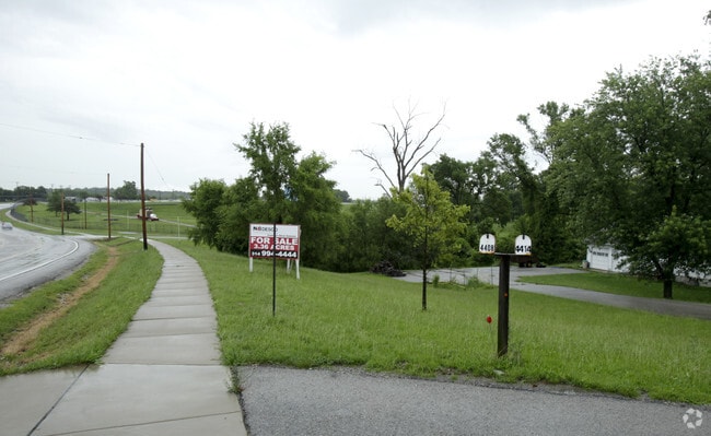
4414 Meramec Bottom Rd, Saint Louis, MO 63129


NEARBY LISTINGS FOR SALE OR LEASE
Property Detail
4414 Meramec Bottom Rd
32L-24-1061
Captiva Crossing Apartments
Apartment
CAPTIVA CROSSING APARTMENTS
AE
St. Louis
17133C0075F
Missouri
2024
3.36 AC
2025
South County
221332
St. Louis
46,176 SF
St. Louis, MO-IL
DEMOGRAPHICS near 4414 Meramec Bottom Rd
1 Mile
3 Mile
5 Mile
2024 Total Population
3,787
52,111
150,077
2029 Population
3,768
51,660
149,615
Pop Growth 2024-2029
(0.50%)
(0.87%)
(0.31%)
Average Age
42
44
43
2024 Total Households
1,507
21,700
61,699
HH Growth 2024-2029
(0.53%)
(0.89%)
(0.37%)
Median Household Inc
$81,180
$77,773
$75,293
Avg Household Size
2.50
2.40
2.40
2024 Avg HH Vehicles
2.00
2.00
2.00
Median Home Value
$231,089
$252,903
$242,496
Median Year Built
1983
1980
1979
Nearby Places
Map Layers
Map Styles
 Street
 Aerial
- Restaurants
- Banks
- Shops
- Fitness
- Groceries
PUBLIC TRANSPORTATION
AIRPORT
St Louis Lambert International
DRIVE
WALK
Distance
St Louis Lambert International
39 min
25.1 mi
Scott AFB/Midamerica St Louis
DRIVE
WALK
Distance
Scott AFB/Midamerica St Louis
57 min
41.2 mi
Freight Ports
Tulsa Port of Inola
DRIVE
WALK
Distance
Tulsa Port of Inola
419 min
378.0 mi
Nearby Properties
Address
Land Use
TOTAL SIZE
Lot Size
Zoning
Address
Land Use
TOTAL SIZE
Lot Size
Zoning
76,892 SF
Address
Land Use
TOTAL SIZE
Lot Size
Zoning
31.25 AC
R2
Address
Land Use
TOTAL SIZE
Lot Size
Zoning
53,714 SF
59.99 AC
FPNU
Address
Land Use
TOTAL SIZE
Lot Size
Zoning
26.62 AC
R3
Address
Land Use
TOTAL SIZE
Lot Size
Zoning
103,204 SF
1.47 AC
C-8
Address
Land Use
TOTAL SIZE
Lot Size
Zoning
221,771 SF
25.15 AC
CT1
Address
Land Use
TOTAL SIZE
Lot Size
Zoning
237,114 SF
18.12 AC
M1
Address
Land Use
TOTAL SIZE
Lot Size
Zoning
21.55 AC
C-8
Address
Land Use
TOTAL SIZE
Lot Size
Zoning
499,003 SF
99.34 AC
C-8
Address
Land Use
TOTAL SIZE
Lot Size
Zoning
1,268 SF
19.85 AC
R2
Address
Land Use
TOTAL SIZE
Lot Size
Zoning
315,332 SF
53.99 AC
CT1
Address
Land Use
TOTAL SIZE
Lot Size
Zoning
188,205 SF
14.86 AC
R2
Address
Land Use
TOTAL SIZE
Lot Size
Zoning
205,040 SF
13.93 AC
M
Address
Land Use
TOTAL SIZE
Lot Size
Zoning
58,287 SF
18.90 AC
NU
Address
Land Use
TOTAL SIZE
Lot Size
Zoning
183,528 SF
20.63 AC
R6A
Address
Land Use
TOTAL SIZE
Lot Size
Zoning
150,857 SF
7.73 AC
R6A
Address
Land Use
TOTAL SIZE
Lot Size
Zoning
59,500 SF
17.78 AC
M
Address
Land Use
TOTAL SIZE
Lot Size
Zoning
36,724 SF
16.28 AC
C-8
Address
Land Use
TOTAL SIZE
Lot Size
Zoning
170,620 SF
8.62 AC
CT1
Address
Land Use
TOTAL SIZE
Lot Size
Zoning
6,761 SF
17.28 AC
R3
Address
Land Use
TOTAL SIZE
Lot Size
Zoning
147,060 SF
7.42 AC
R6
Address
Land Use
TOTAL SIZE
Lot Size
Zoning
151,960 SF
10.88 AC
R2
Address
Land Use
TOTAL SIZE
Lot Size
Zoning
170,082 SF
5.49 AC
R6
Address
Land Use
TOTAL SIZE
Lot Size
Zoning
143,779 SF
15.65 AC
R6A
Address
Land Use
TOTAL SIZE
Lot Size
Zoning
118,196 SF
13.33 AC
Address
Land Use
TOTAL SIZE
Lot Size
Zoning
11.81 AC
R2
Address
Land Use
TOTAL SIZE
Lot Size
Zoning
138,591 SF
5.46 AC
Address
Land Use
TOTAL SIZE
Lot Size
Zoning
52,886 SF
262.80 AC
P5
Address
Land Use
TOTAL SIZE
Lot Size
Zoning
60,192 SF
9.75 AC
R2
Address
Land Use
TOTAL SIZE
Lot Size
Zoning
15.82 AC
NU
The World's #1 Commercial Real Estate Marketplace
Connect with us
© 2025 CoStar Group
The information above has been obtained from sources believed reliable. While we do not doubt its accuracy we have not verified it and make no guarantee, warranty or representation about it. It is your responsibility to independently confirm its accuracy and completeness. Any projections, opinions, assumptions, or estimates used are for example only and do not represent the current or future performance of the property. The value of this transaction to you depends on tax and other factors which should be evaluated by your tax, financial, and legal advisors. You and your advisors should conduct a careful, independent investigation of the property to determine to your satisfaction the suitability of the property for your needs.