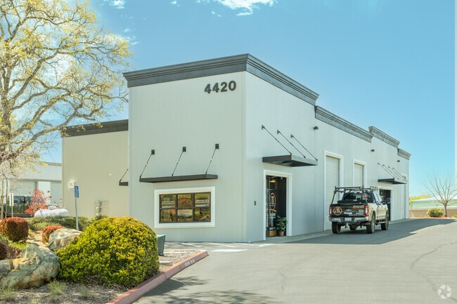
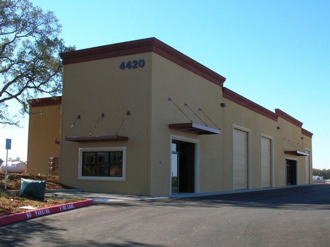
Property Record
4420 Commodity Way, Shingle Springs, CA 95682


Current Lease Availabilities
Property Detail
4420 Commodity Way
109-480-028-000
PM 49/87/1
Industrialgeneral
El Dorado
I
California
B and X Area of moderate flood hazard, usually the area between the limits of the 100-year and 500-year floods.
0.62 AC
2024
Folsom/El Dorado
2025
Sacramento
030804
Sacramento-Roseville-Folsom, CA
7,902 SF
NEARBY LISTINGS FOR SALE OR LEASE
DEMOGRAPHICS near 4420 Commodity Way
1 mile
3 mile
5 mile
2025 Total Population
1,343
15,737
37,590
2030 Population
1,287
15,440
37,120
Pop Growth 2025-2030
(4.17%)
(1.89%)
(1.25%)
Average Age
45
45
44
2025 Total Households
499
5,994
14,191
HH Growth 2025-2030
(4.21%)
(1.94%)
(1.34%)
Median Household Inc
$142,129
$120,144
$122,339
Avg Household Size
2.60
2.60
2.60
2025 Avg HH Vehicles
3.00
2.00
2.00
Median Home Value
$899,999
$769,139
$770,982
Median Year Built
1990
1986
1988
Nearby Places
Map Layers
Map Styles
 Street
 Aerial
Transit
 Traffic
 Biking
Places
Listings with unknown addresses are not visible on the map
- Restaurants
- Banks
- Shops
- Fitness
- Groceries
Nearby Properties
Address
Land Use
TOTAL SIZE
Lot Size
Zoning
Address
Land Use
TOTAL SIZE
Lot Size
Zoning
31,030 SF
16.13 AC
C
Address
Land Use
TOTAL SIZE
Lot Size
Zoning
Address
Land Use
TOTAL SIZE
Lot Size
Zoning
70,498 SF
4.61 AC
CP
Address
Land Use
TOTAL SIZE
Lot Size
Zoning
Address
Land Use
TOTAL SIZE
Lot Size
Zoning
4.64 AC
CPO
Address
Land Use
TOTAL SIZE
Lot Size
Zoning
2.47 AC
AE
Address
Land Use
TOTAL SIZE
Lot Size
Zoning
4.33 AC
RE
Address
Land Use
TOTAL SIZE
Lot Size
Zoning
58,841 SF
4.14 AC
C
Address
Land Use
TOTAL SIZE
Lot Size
Zoning
7.21 AC
I
Address
Land Use
TOTAL SIZE
Lot Size
Zoning
50,930 SF
5.11 AC
I
Address
Land Use
TOTAL SIZE
Lot Size
Zoning
10,956 SF
8.56 AC
R2
Address
Land Use
TOTAL SIZE
Lot Size
Zoning
37,012 SF
3.22 AC
R2
Address
Land Use
TOTAL SIZE
Lot Size
Zoning
24,060 SF
1.84 AC
CP
Address
Land Use
TOTAL SIZE
Lot Size
Zoning
18.20 AC
RE10
Address
Land Use
TOTAL SIZE
Lot Size
Zoning
89,799 SF
23.59 AC
I
Address
Land Use
TOTAL SIZE
Lot Size
Zoning
6,872 SF
0.57 AC
C
Address
Land Use
TOTAL SIZE
Lot Size
Zoning
5,248 SF
4.77 AC
R3A
Address
Land Use
TOTAL SIZE
Lot Size
Zoning
10,345 SF
1.57 AC
RE
Address
Land Use
TOTAL SIZE
Lot Size
Zoning
17,280 SF
5.64 AC
CP
Address
Land Use
TOTAL SIZE
Lot Size
Zoning
26,943 SF
5.41 AC
C
Address
Land Use
TOTAL SIZE
Lot Size
Zoning
22,364 SF
4.38 AC
R1A
Address
Land Use
TOTAL SIZE
Lot Size
Zoning
31,256 SF
3.05 AC
C
Address
Land Use
TOTAL SIZE
Lot Size
Zoning
24,880 SF
9.40 AC
R1
Address
Land Use
TOTAL SIZE
Lot Size
Zoning
16,756 SF
86.27 AC
RF
Address
Land Use
TOTAL SIZE
Lot Size
Zoning
33,841 SF
9.75 AC
R3A
Address
Land Use
TOTAL SIZE
Lot Size
Zoning
Address
Land Use
TOTAL SIZE
Lot Size
Zoning
2,950 SF
1 AC
CP
Address
Land Use
TOTAL SIZE
Lot Size
Zoning
27,600 SF
3.70 AC
CP
Address
Land Use
TOTAL SIZE
Lot Size
Zoning
4,320 SF
1.90 AC
AE
Address
Land Use
TOTAL SIZE
Lot Size
Zoning
6,108 SF
0.91 AC
RE
The World's #1 Commercial Real Estate Marketplace
Connect with us
© 2026 CoStar Group
The information above has been obtained from sources believed reliable. While we do not doubt its accuracy we have not verified it and make no guarantee, warranty or representation about it. It is your responsibility to independently confirm its accuracy and completeness. Any projections, opinions, assumptions, or estimates used are for example only and do not represent the current or future performance of the property. The value of this transaction to you depends on tax and other factors which should be evaluated by your tax, financial, and legal advisors. You and your advisors should conduct a careful, independent investigation of the property to determine to your satisfaction the suitability of the property for your needs.