Property Record
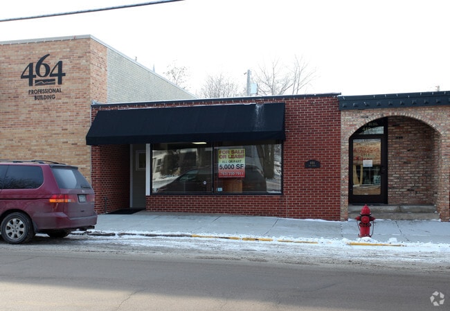
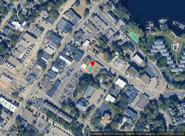
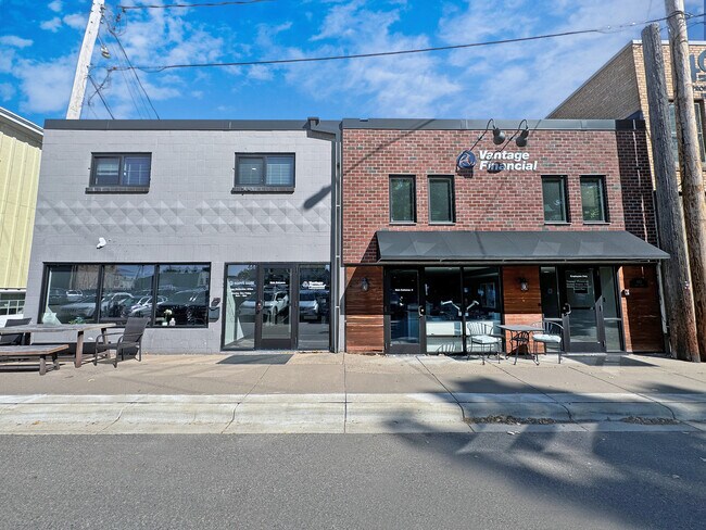
444 2Nd St, Excelsior, MN 55331
NEARBY LISTINGS FOR SALE OR LEASE
Property Detail
444 2Nd St
Minneapolis-St. Paul-Bloomington, MN-WI
Gould Connor & Beemans Subd Lots Exce
34-117-23-11-0150
LOT 013 A GOULD CONNOR & BEEMANS SUBD LOTS EXCE LOTS 13 AND 14 50 X 108.7
Commercialnec
Hennepin
X
Minnesota
27019C0114D
13
2024
0.12 AC
2024
Hennepin County Outlying
027501
Minneapolis/St Paul
DEMOGRAPHICS near 444 2Nd St
1 Mile
3 Mile
5 Mile
2024 Total Population
4,923
33,219
89,643
2029 Population
4,952
33,937
90,877
Pop Growth 2024-2029
+ 0.59%
+ 2.16%
+ 1.38%
Average Age
46
43
43
2024 Total Households
2,134
12,667
34,994
HH Growth 2024-2029
+ 0.28%
+ 2.04%
+ 1.29%
Median Household Inc
$117,090
$132,414
$122,577
Avg Household Size
2.20
2.60
2.50
2024 Avg HH Vehicles
2.00
2.00
2.00
Median Home Value
$786,689
$592,105
$482,836
Median Year Built
1977
1984
1983
Nearby Places
Map Layers
Map Styles
 Street
 Aerial
- Restaurants
- Banks
- Shops
- Fitness
- Groceries
PUBLIC TRANSPORTATION
AIRPORT
Minneapolis-St Paul International/Wold-Chamberlain
DRIVE
WALK
Distance
Minneapolis-St Paul International/Wold-Chamberlain
32 min
21.0 mi
Nearby Properties
Address
Land Use
TOTAL SIZE
Lot Size
Zoning
Address
Land Use
TOTAL SIZE
Lot Size
Zoning
4.32 AC
Address
Land Use
TOTAL SIZE
Lot Size
Zoning
55,208 SF
49.75 AC
Address
Land Use
TOTAL SIZE
Lot Size
Zoning
122,807 SF
30.62 AC
Address
Land Use
TOTAL SIZE
Lot Size
Zoning
3,073 SF
155.36 AC
Address
Land Use
TOTAL SIZE
Lot Size
Zoning
3.82 AC
Address
Land Use
TOTAL SIZE
Lot Size
Zoning
1.85 AC
Address
Land Use
TOTAL SIZE
Lot Size
Zoning
21.72 AC
Address
Land Use
TOTAL SIZE
Lot Size
Zoning
94,387 SF
14.77 AC
Address
Land Use
TOTAL SIZE
Lot Size
Zoning
7.82 AC
R4
Address
Land Use
TOTAL SIZE
Lot Size
Zoning
17.67 AC
R4
Address
Land Use
TOTAL SIZE
Lot Size
Zoning
9.29 AC
R4
Address
Land Use
TOTAL SIZE
Lot Size
Zoning
14.04 AC
R4
Address
Land Use
TOTAL SIZE
Lot Size
Zoning
34,100 SF
12.99 AC
Address
Land Use
TOTAL SIZE
Lot Size
Zoning
16.38 AC
Address
Land Use
TOTAL SIZE
Lot Size
Zoning
1,200 SF
62.14 AC
Address
Land Use
TOTAL SIZE
Lot Size
Zoning
Address
Land Use
TOTAL SIZE
Lot Size
Zoning
154,674 SF
14.10 AC
Address
Land Use
TOTAL SIZE
Lot Size
Zoning
1.67 AC
Address
Land Use
TOTAL SIZE
Lot Size
Zoning
69,144 SF
13.98 AC
Address
Land Use
TOTAL SIZE
Lot Size
Zoning
6.52 AC
Address
Land Use
TOTAL SIZE
Lot Size
Zoning
12.02 AC
Address
Land Use
TOTAL SIZE
Lot Size
Zoning
3.20 AC
Address
Land Use
TOTAL SIZE
Lot Size
Zoning
5.68 AC
Address
Land Use
TOTAL SIZE
Lot Size
Zoning
86,884 SF
11.66 AC
Address
Land Use
TOTAL SIZE
Lot Size
Zoning
5.84 AC
R4
Address
Land Use
TOTAL SIZE
Lot Size
Zoning
16,986 SF
1.77 AC
PUD
Address
Land Use
TOTAL SIZE
Lot Size
Zoning
53,125 SF
3.83 AC
Address
Land Use
TOTAL SIZE
Lot Size
Zoning
2.10 AC
Address
Land Use
TOTAL SIZE
Lot Size
Zoning
Address
Land Use
TOTAL SIZE
Lot Size
Zoning
5,496 SF
52.15 AC
The World's #1 Commercial Real Estate Marketplace
Connect with us
© 2026 CoStar Group
The information above has been obtained from sources believed reliable. While we do not doubt its accuracy we have not verified it and make no guarantee, warranty or representation about it. It is your responsibility to independently confirm its accuracy and completeness. Any projections, opinions, assumptions, or estimates used are for example only and do not represent the current or future performance of the property. The value of this transaction to you depends on tax and other factors which should be evaluated by your tax, financial, and legal advisors. You and your advisors should conduct a careful, independent investigation of the property to determine to your satisfaction the suitability of the property for your needs.