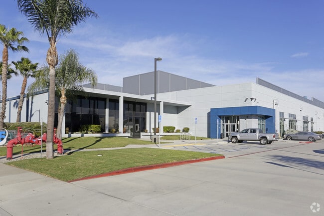
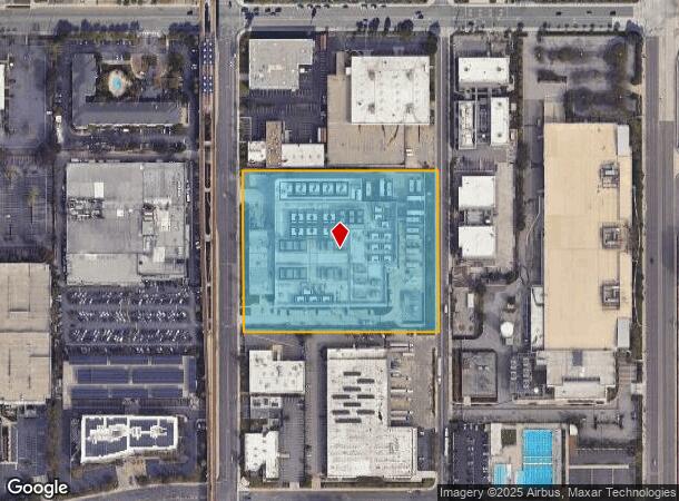
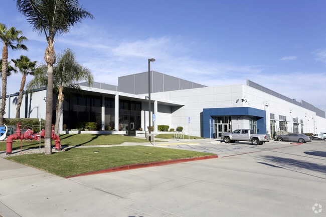
Property Record
444 N Nash St, El Segundo, CA 90245

NEARBY LISTINGS FOR SALE OR LEASE
Property Detail
444 N Nash St
Los Angeles-Long Beach-Glendale, CA
City Of El Segundo
4138-003-007
SUB OF PART OF THE SAUSAL REDONDO RAN- CHO LOT COM N 0 00'23 W 1732.68 FT AND S 89 58'02 E 50 FT FROM S 1/4 COR OF SEC 7 T 3S R 14W TH N ON E LINE OF SEE ASSESSOR MAPBOOK FOR MISSING PORTION1/4 OF SE 1/4 OF SEC 7 T 3S R 14W
Heavyindustrial
Los Angeles
X
California
06037C1767G
7
2024
6.13 AC
2025
El Segundo/Beach Cities
980013
Los Angeles
116,737 SF
DEMOGRAPHICS near 444 N Nash St
1 Mile
3 Mile
5 Mile
2024 Total Population
8,762
199,372
543,712
2029 Population
8,513
193,380
528,304
Pop Growth 2024-2029
(2.84%)
(3.01%)
(2.83%)
Average Age
39
38
40
2024 Total Households
3,423
68,463
201,473
HH Growth 2024-2029
(3.04%)
(3.12%)
(3.00%)
Median Household Inc
$141,924
$87,560
$92,103
Avg Household Size
2.50
2.80
2.60
2024 Avg HH Vehicles
2.00
2.00
2.00
Median Home Value
$1,029,577
$1,001,913
$914,887
Median Year Built
1974
1963
1964
Nearby Places
Map Layers
Map Styles
 Street
 Aerial
- Restaurants
- Banks
- Shops
- Fitness
- Groceries
PUBLIC TRANSPORTATION
TRANSIT/SUBWAY
Mariposa/Nash Station (Green Line - Los Angeles County Metropolitan Transportation Authority (Metro))
DRIVE
WALK
Distance
Mariposa/Nash Station (Green Line - Los Angeles County Metropolitan Transportation Authority (Metro))
1 min
6 min
0.3 mi
El Segundo/Nash Station (Green Line - Los Angeles County Metropolitan Transportation Authority (Metro))
DRIVE
WALK
Distance
El Segundo/Nash Station (Green Line - Los Angeles County Metropolitan Transportation Authority (Metro))
1 min
10 min
0.5 mi
AIRPORT
Los Angeles International
DRIVE
WALK
Distance
Los Angeles International
8 min
3.2 mi
Long Beach (Daugherty Field)
DRIVE
WALK
Distance
Long Beach (Daugherty Field)
24 min
17.3 mi
Bob Hope
DRIVE
WALK
Distance
Bob Hope
40 min
29.1 mi
Freight Ports
Port of Los Angeles
DRIVE
WALK
Distance
Port of Los Angeles
31 min
20.4 mi
SALE & LEASE HISTORY
LISTING DATE
SALE/LEASE

Jun 15, 2017
For Lease
Jun 14, 2017
For Lease
Nearby Properties
Address
Land Use
TOTAL SIZE
Lot Size
Zoning
Address
Land Use
TOTAL SIZE
Lot Size
Zoning
1,807,845 SF
7.28 AC
ESC3
Address
Land Use
TOTAL SIZE
Lot Size
Zoning
584,746 SF
20.38 AC
MNIP
Address
Land Use
TOTAL SIZE
Lot Size
Zoning
Address
Land Use
TOTAL SIZE
Lot Size
Zoning
Address
Land Use
TOTAL SIZE
Lot Size
Zoning
Address
Land Use
TOTAL SIZE
Lot Size
Zoning
Address
Land Use
TOTAL SIZE
Lot Size
Zoning
1,315,931 SF
3.36 AC
ESC3
Address
Land Use
TOTAL SIZE
Lot Size
Zoning
565,264 SF
5.95 AC
Address
Land Use
TOTAL SIZE
Lot Size
Zoning
337,106 SF
9.56 AC
ESCM*
Address
Land Use
TOTAL SIZE
Lot Size
Zoning
329,810 SF
2.21 AC
LAC2
Address
Land Use
TOTAL SIZE
Lot Size
Zoning
944,791 SF
22.53 AC
ESCM*
Address
Land Use
TOTAL SIZE
Lot Size
Zoning
421,934 SF
8.24 AC
ESCM
Address
Land Use
TOTAL SIZE
Lot Size
Zoning
459,058 SF
8.84 AC
ESC3*
Address
Land Use
TOTAL SIZE
Lot Size
Zoning
632,476 SF
10.56 AC
LAC2
Address
Land Use
TOTAL SIZE
Lot Size
Zoning
784,680 SF
18.28 AC
LAM1
Address
Land Use
TOTAL SIZE
Lot Size
Zoning
652,774 SF
3.60 AC
LAC2
Address
Land Use
TOTAL SIZE
Lot Size
Zoning
553,161 SF
21.61 AC
ESM2*
Address
Land Use
TOTAL SIZE
Lot Size
Zoning
718,086 SF
41.24 AC
RBI-1A
Address
Land Use
TOTAL SIZE
Lot Size
Zoning
418,131 SF
3.03 AC
LCC1
Address
Land Use
TOTAL SIZE
Lot Size
Zoning
793,455 SF
31.88 AC
ESM2*
Address
Land Use
TOTAL SIZE
Lot Size
Zoning
848,217 SF
36.09 AC
RBI-1A
Address
Land Use
TOTAL SIZE
Lot Size
Zoning
1,410,144 SF
6.35 AC
ESM2*
Address
Land Use
TOTAL SIZE
Lot Size
Zoning
189,244 SF
3.64 AC
ESCM*
Address
Land Use
TOTAL SIZE
Lot Size
Zoning
859,786 SF
4.82 AC
LAC2
Address
Land Use
TOTAL SIZE
Lot Size
Zoning
319,589 SF
5.13 AC
MNPD
Address
Land Use
TOTAL SIZE
Lot Size
Zoning
876,121 SF
9.03 AC
ESC3
Address
Land Use
TOTAL SIZE
Lot Size
Zoning
1,972,924 SF
ESCM*
Address
Land Use
TOTAL SIZE
Lot Size
Zoning
801,040 SF
5.69 AC
LAC2
Address
Land Use
TOTAL SIZE
Lot Size
Zoning
448,818 SF
2.69 AC
ESC3*
The World's #1 Commercial Real Estate Marketplace
Connect with us
© 2026 CoStar Group
The information above has been obtained from sources believed reliable. While we do not doubt its accuracy we have not verified it and make no guarantee, warranty or representation about it. It is your responsibility to independently confirm its accuracy and completeness. Any projections, opinions, assumptions, or estimates used are for example only and do not represent the current or future performance of the property. The value of this transaction to you depends on tax and other factors which should be evaluated by your tax, financial, and legal advisors. You and your advisors should conduct a careful, independent investigation of the property to determine to your satisfaction the suitability of the property for your needs.