Property Record
4445 Mormon Coulee Rd, La Crosse, WI 54601

NEARBY LISTINGS FOR SALE OR LEASE
-
-
View all La Crosse listings for sale on LoopNet.com
Property Detail
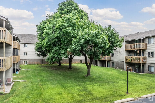
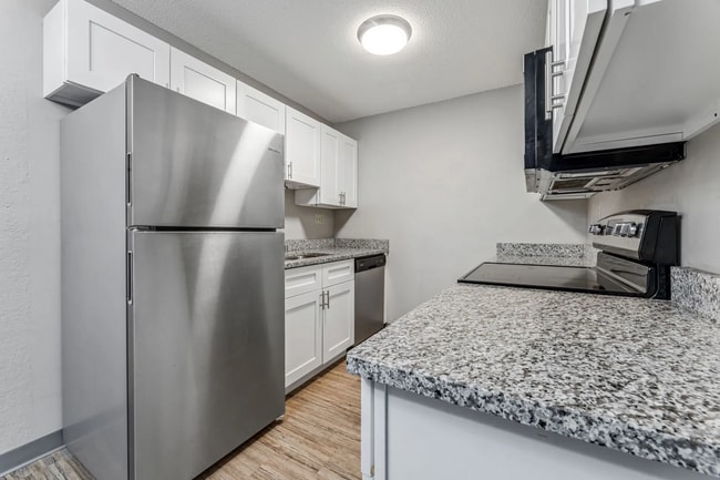
4445 Mormon Coulee Rd
017-050314-050
Section 16 T15n R7w
Commercialnec
PRT SE-SE BEG SE COR N11D43MW 217.41FT S89D50M15SW 1021.41FT TO ELY R/W USH 14/61 S38D19ME ALG CURV S37D22M10SE 152.88FT TO S LN SE-SE N89D50M15SE 901.2FT TOPOB SUBJ TO USE AGREE V1299 P87 LOT SZ: IRR
X
La Crosse
27055C0115E
Wisconsin
2024
4.71 AC
2024
La Crosse/Onalaska
001102
Other Market Areas
55,701 SF
La Crosse-Onalaska, WI-MN
DEMOGRAPHICS near 4445 Mormon Coulee Rd
1 Mile
3 Mile
5 Mile
2024 Total Population
9,781
33,605
54,041
2029 Population
10,165
34,170
54,818
Pop Growth 2024-2029
+ 3.93%
+ 1.68%
+ 1.44%
Average Age
44
41
38
2024 Total Households
4,758
15,423
23,259
HH Growth 2024-2029
+ 4.12%
+ 1.73%
+ 1.62%
Median Household Inc
$53,611
$57,945
$50,166
Avg Household Size
2.00
2.10
2.10
2024 Avg HH Vehicles
1.00
2.00
2.00
Median Home Value
$177,083
$181,222
$187,409
Median Year Built
1978
1966
1970
Nearby Places
Map Layers
Map Styles
 Street
 Aerial
- Restaurants
- Banks
- Shops
- Fitness
- Groceries
PUBLIC TRANSPORTATION
COMMUTER RAIL
La Crosse (Empire Builder - Amtrak)
DRIVE
WALK
Distance
La Crosse (Empire Builder - Amtrak)
13 min
6.0 mi
AIRPORT
La Crosse Regional
DRIVE
WALK
Distance
La Crosse Regional
21 min
12.5 mi
Freight Ports
Port Milwaukee
DRIVE
WALK
Distance
Port Milwaukee
239 min
213.3 mi
Nearby Properties
Address
Land Use
TOTAL SIZE
Lot Size
Zoning
Address
Land Use
TOTAL SIZE
Lot Size
Zoning
4.65 AC
Address
Land Use
TOTAL SIZE
Lot Size
Zoning
38,407 SF
3.12 AC
MZA
Address
Land Use
TOTAL SIZE
Lot Size
Zoning
11.56 AC
Address
Land Use
TOTAL SIZE
Lot Size
Zoning
54,884 SF
1.09 AC
MZA
Address
Land Use
TOTAL SIZE
Lot Size
Zoning
10.21 AC
MZA
Address
Land Use
TOTAL SIZE
Lot Size
Zoning
186,812 SF
15.04 AC
MZA
Address
Land Use
TOTAL SIZE
Lot Size
Zoning
0.56 AC
MZA
Address
Land Use
TOTAL SIZE
Lot Size
Zoning
32,153 SF
3.16 AC
MZA
Address
Land Use
TOTAL SIZE
Lot Size
Zoning
15.48 AC
MZA
Address
Land Use
TOTAL SIZE
Lot Size
Zoning
32.76 AC
MZA
Address
Land Use
TOTAL SIZE
Lot Size
Zoning
4.71 AC
Address
Land Use
TOTAL SIZE
Lot Size
Zoning
5.01 AC
MZA
Address
Land Use
TOTAL SIZE
Lot Size
Zoning
3.04 AC
MZA
Address
Land Use
TOTAL SIZE
Lot Size
Zoning
6.01 AC
MZA
Address
Land Use
TOTAL SIZE
Lot Size
Zoning
3.46 AC
MZA
Address
Land Use
TOTAL SIZE
Lot Size
Zoning
10.61 AC
MZA
Address
Land Use
TOTAL SIZE
Lot Size
Zoning
0.50 AC
Address
Land Use
TOTAL SIZE
Lot Size
Zoning
0.37 AC
MZA
Address
Land Use
TOTAL SIZE
Lot Size
Zoning
6.01 AC
MZA
Address
Land Use
TOTAL SIZE
Lot Size
Zoning
31,104 SF
0.82 AC
Address
Land Use
TOTAL SIZE
Lot Size
Zoning
25.06 AC
MZA
Address
Land Use
TOTAL SIZE
Lot Size
Zoning
1.58 AC
MZA
Address
Land Use
TOTAL SIZE
Lot Size
Zoning
4.88 AC
MZA
Address
Land Use
TOTAL SIZE
Lot Size
Zoning
0.64 AC
MZA
Address
Land Use
TOTAL SIZE
Lot Size
Zoning
Address
Land Use
TOTAL SIZE
Lot Size
Zoning
2.99 AC
MZA
Address
Land Use
TOTAL SIZE
Lot Size
Zoning
4.58 AC
MZA
Address
Land Use
TOTAL SIZE
Lot Size
Zoning
2.96 AC
MZA
Address
Land Use
TOTAL SIZE
Lot Size
Zoning
4.22 AC
MZA
The World's #1 Commercial Real Estate Marketplace
Connect with us
© 2025 CoStar Group
The information above has been obtained from sources believed reliable. While we do not doubt its accuracy we have not verified it and make no guarantee, warranty or representation about it. It is your responsibility to independently confirm its accuracy and completeness. Any projections, opinions, assumptions, or estimates used are for example only and do not represent the current or future performance of the property. The value of this transaction to you depends on tax and other factors which should be evaluated by your tax, financial, and legal advisors. You and your advisors should conduct a careful, independent investigation of the property to determine to your satisfaction the suitability of the property for your needs.