Property Record
44505 W Edison Rd, Maricopa, AZ 85138
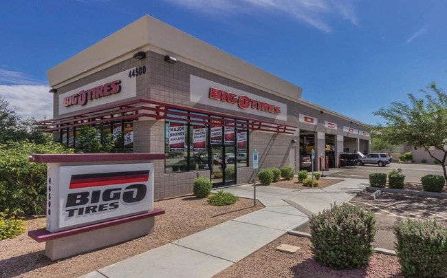


Property Detail
44505 W Edison Rd
512-04-005A
COM @ W/4 CORNER OF SEC 22 4S 3E TH E 629.76 TH S 40 TO POB CONTI NUE S 155.39 TH W 227.06 TH N 155.49 TH E 228.74 TO POB. AKA: LOT NO. 1 IN 2009 060822 (SURVEY). .81 AC
Vehiclerentalsvehiclesales
Pinal
UNDESIGNAT
Arizona
B and X Area of moderate flood hazard, usually the area between the limits of the 100-year and 500-year floods.
1
2024
0.81 AC
2025
Outlying Pinal County
001706
Phoenix
5,350 SF
Phoenix-Mesa-Chandler, AZ
NEARBY LISTINGS FOR SALE OR LEASE
DEMOGRAPHICS near 44505 W Edison Rd
1 mile
3 mile
5 mile
2025 Total Population
13,346
61,654
68,911
2030 Population
15,481
72,332
81,184
Pop Growth 2025-2030
+ 16.00%
+ 17.32%
+ 17.81%
Average Age
37
38
38
2025 Total Households
4,146
20,103
22,329
HH Growth 2025-2030
+ 15.75%
+ 17.24%
+ 17.70%
Median Household Inc
$91,469
$94,924
$93,846
Avg Household Size
3.10
3.00
3.00
2025 Avg HH Vehicles
2.00
2.00
2.00
Median Home Value
$379,999
$387,715
$385,354
Median Year Built
2005
2006
2007
Nearby Places
Map Layers
Map Styles
 Street
 Aerial
Layers
 Traffic
 Biking
Places
Listings with unknown addresses are not visible on the map
- Restaurants
- Banks
- Shops
- Fitness
- Groceries
PUBLIC TRANSPORTATION
COMMUTER RAIL
Drive
Walk
Distance
1 min
16 min
0.7 mi
AIRPORT
Phoenix Sky Harbor International
Drive
Walk
Distance
Phoenix Sky Harbor International
42 min
29.4 mi
Phoenix-Mesa Gateway
Drive
Walk
Distance
Phoenix-Mesa Gateway
50 min
34.3 mi
Nearby Properties
Address
Land Use
TOTAL SIZE
Lot Size
Zoning
Address
Land Use
TOTAL SIZE
Lot Size
Zoning
189,104 SF
20.99 AC
Address
Land Use
TOTAL SIZE
Lot Size
Zoning
112,719 SF
14.37 AC
UNDESIGNAT
Address
Land Use
TOTAL SIZE
Lot Size
Zoning
58,073 SF
5.74 AC
Address
Land Use
TOTAL SIZE
Lot Size
Zoning
102,212 SF
11.98 AC
Address
Land Use
TOTAL SIZE
Lot Size
Zoning
78,634 SF
7.83 AC
Address
Land Use
TOTAL SIZE
Lot Size
Zoning
57,070 SF
9.05 AC
Address
Land Use
TOTAL SIZE
Lot Size
Zoning
92,929 SF
11.43 AC
Address
Land Use
TOTAL SIZE
Lot Size
Zoning
12.02 AC
UNDESIGNAT
Address
Land Use
TOTAL SIZE
Lot Size
Zoning
38,215 SF
9.84 AC
Address
Land Use
TOTAL SIZE
Lot Size
Zoning
20,801 SF
1.94 AC
Address
Land Use
TOTAL SIZE
Lot Size
Zoning
39,454 SF
5 AC
Address
Land Use
TOTAL SIZE
Lot Size
Zoning
83,747 SF
5.01 AC
Address
Land Use
TOTAL SIZE
Lot Size
Zoning
134,977 SF
4.53 AC
Address
Land Use
TOTAL SIZE
Lot Size
Zoning
124,122 SF
2.38 AC
Address
Land Use
TOTAL SIZE
Lot Size
Zoning
Address
Land Use
TOTAL SIZE
Lot Size
Zoning
38,864 SF
5.38 AC
Address
Land Use
TOTAL SIZE
Lot Size
Zoning
25,287 SF
2.72 AC
UNDESIGNAT
Address
Land Use
TOTAL SIZE
Lot Size
Zoning
8,537 SF
6.71 AC
Address
Land Use
TOTAL SIZE
Lot Size
Zoning
26.11 AC
Address
Land Use
TOTAL SIZE
Lot Size
Zoning
13.31 AC
UNDESIGNAT
Address
Land Use
TOTAL SIZE
Lot Size
Zoning
51,440 SF
4.99 AC
Address
Land Use
TOTAL SIZE
Lot Size
Zoning
19,650 SF
317.62 AC
UNDESIGNAT
Address
Land Use
TOTAL SIZE
Lot Size
Zoning
84,308 SF
2.10 AC
UNDESIGNAT
Address
Land Use
TOTAL SIZE
Lot Size
Zoning
Address
Land Use
TOTAL SIZE
Lot Size
Zoning
23,920 SF
2.55 AC
The World's #1 Commercial Real Estate Marketplace
Connect with us
© 2026 CoStar Group
The information above has been obtained from sources believed reliable. While we do not doubt its accuracy we have not verified it and make no guarantee, warranty or representation about it. It is your responsibility to independently confirm its accuracy and completeness. Any projections, opinions, assumptions, or estimates used are for example only and do not represent the current or future performance of the property. The value of this transaction to you depends on tax and other factors which should be evaluated by your tax, financial, and legal advisors. You and your advisors should conduct a careful, independent investigation of the property to determine to your satisfaction the suitability of the property for your needs.