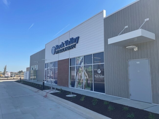
Property Record
4451 E 53Rd St, Davenport, IA 52807
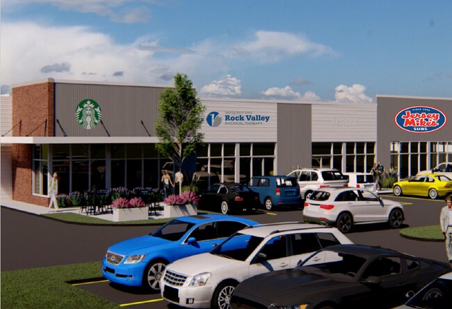
NEARBY LISTINGS FOR SALE OR LEASE
Property Detail
4451 E 53Rd St
Davenport-Moline-Rock Island, IA-IL
Birchwood South Second Addition
N0910C01
BIRCHWOOD SOUTH 2ND ADDITION LOT: 1
Stripcommercialcenter
Scott
2025
Iowa
2025
1.37 AC
012902
Outlying Scott County
8,486 SF
Davenport/Moline/Rock Island
DEMOGRAPHICS near 4451 E 53Rd St
1 Mile
3 Mile
5 Mile
2024 Total Population
7,685
50,915
105,952
2029 Population
7,584
50,752
105,649
Pop Growth 2024-2029
(1.31%)
(0.32%)
(0.29%)
Average Age
41
41
40
2024 Total Households
2,751
21,004
43,721
HH Growth 2024-2029
(1.38%)
(0.43%)
(0.34%)
Median Household Inc
$122,271
$91,281
$68,152
Avg Household Size
2.70
2.40
2.30
2024 Avg HH Vehicles
2.00
2.00
2.00
Median Home Value
$287,981
$264,315
$205,552
Median Year Built
1988
1982
1972
Nearby Places
Map Layers
Map Styles
 Street
 Aerial
- Restaurants
- Banks
- Shops
- Fitness
- Groceries
PUBLIC TRANSPORTATION
AIRPORT
Quad Cities International
DRIVE
WALK
Distance
Quad Cities International
32 min
17.0 mi
Freight Ports
Port Milwaukee
DRIVE
WALK
Distance
Port Milwaukee
236 min
208.3 mi
SALE & LEASE HISTORY
LISTING DATE
SALE/LEASE

Oct 17, 2022
For Sale
Nearby Properties
Address
Land Use
TOTAL SIZE
Lot Size
Zoning
Address
Land Use
TOTAL SIZE
Lot Size
Zoning
157,587 SF
33.92 AC
Address
Land Use
TOTAL SIZE
Lot Size
Zoning
92,431 SF
40.01 AC
Address
Land Use
TOTAL SIZE
Lot Size
Zoning
247,196 SF
13.39 AC
Address
Land Use
TOTAL SIZE
Lot Size
Zoning
2,045 SF
29.48 AC
Address
Land Use
TOTAL SIZE
Lot Size
Zoning
128,100 SF
14.65 AC
Address
Land Use
TOTAL SIZE
Lot Size
Zoning
45,602 SF
149.61 AC
Address
Land Use
TOTAL SIZE
Lot Size
Zoning
27,306 SF
50.57 AC
Address
Land Use
TOTAL SIZE
Lot Size
Zoning
5,400 SF
76.68 AC
Address
Land Use
TOTAL SIZE
Lot Size
Zoning
4,518 SF
6.27 AC
Address
Land Use
TOTAL SIZE
Lot Size
Zoning
50,882 SF
5.10 AC
Address
Land Use
TOTAL SIZE
Lot Size
Zoning
5,296 SF
67.13 AC
Address
Land Use
TOTAL SIZE
Lot Size
Zoning
123,823 SF
6.46 AC
Address
Land Use
TOTAL SIZE
Lot Size
Zoning
1,800 SF
60.86 AC
Address
Land Use
TOTAL SIZE
Lot Size
Zoning
133,809 SF
8.26 AC
Address
Land Use
TOTAL SIZE
Lot Size
Zoning
4,944 SF
17.91 AC
Address
Land Use
TOTAL SIZE
Lot Size
Zoning
26,472 SF
17.67 AC
Address
Land Use
TOTAL SIZE
Lot Size
Zoning
27,312 SF
15.04 AC
Address
Land Use
TOTAL SIZE
Lot Size
Zoning
8,000 SF
4.59 AC
Address
Land Use
TOTAL SIZE
Lot Size
Zoning
111,979 SF
6.86 AC
Address
Land Use
TOTAL SIZE
Lot Size
Zoning
156,632 SF
17.67 AC
Address
Land Use
TOTAL SIZE
Lot Size
Zoning
71,820 SF
5.71 AC
Address
Land Use
TOTAL SIZE
Lot Size
Zoning
64,661 SF
147.01 AC
Address
Land Use
TOTAL SIZE
Lot Size
Zoning
3,543 SF
14.79 AC
Address
Land Use
TOTAL SIZE
Lot Size
Zoning
84,002 SF
21.76 AC
Address
Land Use
TOTAL SIZE
Lot Size
Zoning
4,958 SF
15.49 AC
Address
Land Use
TOTAL SIZE
Lot Size
Zoning
115,968 SF
2.93 AC
Address
Land Use
TOTAL SIZE
Lot Size
Zoning
226,764 SF
23.52 AC
Address
Land Use
TOTAL SIZE
Lot Size
Zoning
50,880 SF
11.36 AC
Address
Land Use
TOTAL SIZE
Lot Size
Zoning
69,519 SF
5.49 AC
Address
Land Use
TOTAL SIZE
Lot Size
Zoning
118,130 SF
9.32 AC
The World's #1 Commercial Real Estate Marketplace
Connect with us
© 2026 CoStar Group
The information above has been obtained from sources believed reliable. While we do not doubt its accuracy we have not verified it and make no guarantee, warranty or representation about it. It is your responsibility to independently confirm its accuracy and completeness. Any projections, opinions, assumptions, or estimates used are for example only and do not represent the current or future performance of the property. The value of this transaction to you depends on tax and other factors which should be evaluated by your tax, financial, and legal advisors. You and your advisors should conduct a careful, independent investigation of the property to determine to your satisfaction the suitability of the property for your needs.