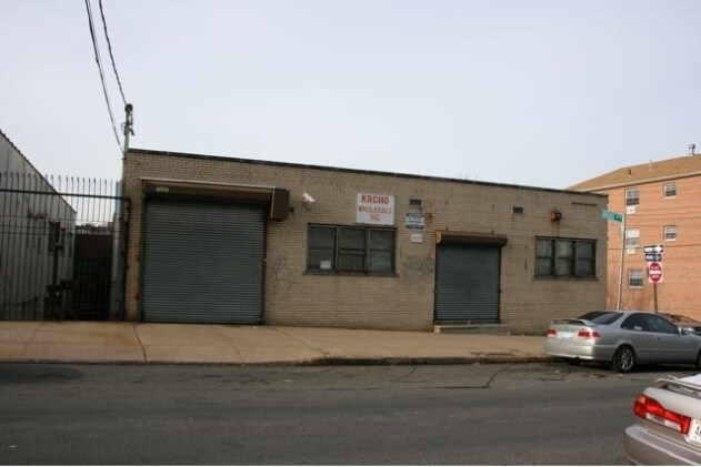
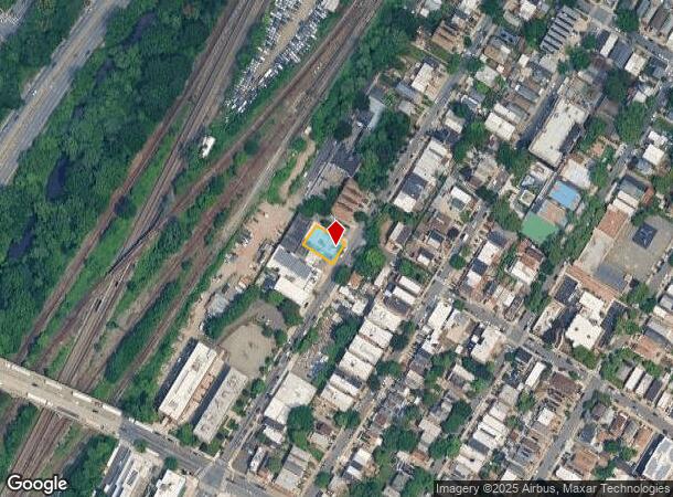
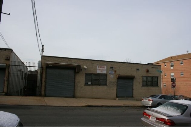
Property Record
4465 Bronx Blvd, Bronx, NY 10470
NEARBY LISTINGS FOR SALE OR LEASE
Property Detail
4465 Bronx Blvd
05065-0039
Bronx
Warehouse
New York
X
39
36119C0338F
0.13 AC
2024
Bronx
2025
Westchester/So Connecticut
041400
New York-Jersey City-White Plains, NY-NJ
9,608 SF
DEMOGRAPHICS near 4465 Bronx Blvd
1 Mile
3 Mile
5 Mile
2024 Total Population
65,513
532,432
1,289,045
2029 Population
59,682
497,661
1,209,075
Pop Growth 2024-2029
(8.90%)
(6.53%)
(6.20%)
Average Age
40
40
39
2024 Total Households
24,350
196,762
470,706
HH Growth 2024-2029
(9.21%)
(6.94%)
(6.64%)
Median Household Inc
$66,005
$60,313
$55,894
Avg Household Size
2.60
2.60
2.60
2024 Avg HH Vehicles
1.00
1.00
1.00
Median Home Value
$542,281
$469,909
$507,813
Median Year Built
1948
1951
1950
Nearby Places
Map Layers
Map Styles
 Street
 Aerial
- Restaurants
- Banks
- Shops
- Fitness
- Groceries
PUBLIC TRANSPORTATION
TRANSIT/SUBWAY
Nereid Avenue (2 - New York MTA Subway (The Subway), 5 - New York MTA Subway (The Subway))
DRIVE
WALK
Distance
Nereid Avenue (2 - New York MTA Subway (The Subway), 5 - New York MTA Subway (The Subway))
2 min
6 min
0.3 mi
Wakefield-241 Street (2 - New York MTA Subway (The Subway))
DRIVE
WALK
Distance
Wakefield-241 Street (2 - New York MTA Subway (The Subway))
1 min
9 min
0.5 mi
233 Street (2 - New York MTA Subway (The Subway), 5 - New York MTA Subway (The Subway))
DRIVE
WALK
Distance
233 Street (2 - New York MTA Subway (The Subway), 5 - New York MTA Subway (The Subway))
2 min
13 min
0.7 mi
COMMUTER RAIL
Wakefield Station (Harlem Line - Metro-North Commuter Railroad Company (Metro-North))
DRIVE
WALK
Distance
Wakefield Station (Harlem Line - Metro-North Commuter Railroad Company (Metro-North))
5 min
10 min
0.5 mi
Woodlawn Station (Harlem Line - Metro-North Commuter Railroad Company (Metro-North))
DRIVE
WALK
Distance
Woodlawn Station (Harlem Line - Metro-North Commuter Railroad Company (Metro-North))
3 min
15 min
0.8 mi
AIRPORT
LaGuardia
DRIVE
WALK
Distance
LaGuardia
26 min
14.0 mi
Westchester County
DRIVE
WALK
Distance
Westchester County
29 min
18.5 mi
John F Kennedy International
DRIVE
WALK
Distance
John F Kennedy International
32 min
21.5 mi
Freight Ports
NY - Red Hook Container Terminal
DRIVE
WALK
Distance
NY - Red Hook Container Terminal
40 min
22.5 mi
SALE & LEASE HISTORY
LISTING DATE
SALE/LEASE

Feb 17, 2017
For Lease
Feb 03, 2017
For Lease
Nearby Properties
Address
Land Use
TOTAL SIZE
Lot Size
Zoning
Address
Land Use
TOTAL SIZE
Lot Size
Zoning
201,590 SF
4.13 AC
BA
Address
Land Use
TOTAL SIZE
Lot Size
Zoning
481,172 SF
205.58 AC
PARK
Address
Land Use
TOTAL SIZE
Lot Size
Zoning
1,132,500 SF
62.44 AC
R6
Address
Land Use
TOTAL SIZE
Lot Size
Zoning
895,256 SF
8.32 AC
R7-1
Address
Land Use
TOTAL SIZE
Lot Size
Zoning
301,156 SF
13.94 AC
A
Address
Land Use
TOTAL SIZE
Lot Size
Zoning
1,237,424 SF
21.25 AC
R6
Address
Land Use
TOTAL SIZE
Lot Size
Zoning
70,737 SF
1.67 AC
BB
Address
Land Use
TOTAL SIZE
Lot Size
Zoning
204,200 SF
1.68 AC
R7-1
Address
Land Use
TOTAL SIZE
Lot Size
Zoning
4,000 SF
19.83 AC
BUS
Address
Land Use
TOTAL SIZE
Lot Size
Zoning
617,567 SF
3.19 AC
R7-1
Address
Land Use
TOTAL SIZE
Lot Size
Zoning
545,388 SF
29.07 AC
C4-3
Address
Land Use
TOTAL SIZE
Lot Size
Zoning
707,353 SF
29.34 AC
R6
Address
Land Use
TOTAL SIZE
Lot Size
Zoning
Address
Land Use
TOTAL SIZE
Lot Size
Zoning
Address
Land Use
TOTAL SIZE
Lot Size
Zoning
269,100 SF
1.63 AC
R4
Address
Land Use
TOTAL SIZE
Lot Size
Zoning
87,000 SF
455.70 AC
PARK
Address
Land Use
TOTAL SIZE
Lot Size
Zoning
450,784 SF
42.36 AC
R4
Address
Land Use
TOTAL SIZE
Lot Size
Zoning
18,445 SF
510.83 AC
PARK
Address
Land Use
TOTAL SIZE
Lot Size
Zoning
64,165 SF
3.24 AC
B
Address
Land Use
TOTAL SIZE
Lot Size
Zoning
165,529 SF
7.05 AC
RA3
Address
Land Use
TOTAL SIZE
Lot Size
Zoning
1,028,976 SF
23.03 AC
R5
Address
Land Use
TOTAL SIZE
Lot Size
Zoning
191,800 SF
13.39 AC
C4-3
Address
Land Use
TOTAL SIZE
Lot Size
Zoning
614,887 SF
14.77 AC
R4
Address
Land Use
TOTAL SIZE
Lot Size
Zoning
1,038,034 SF
23.41 AC
R5
Address
Land Use
TOTAL SIZE
Lot Size
Zoning
244,650 SF
2 AC
R7-1
Address
Land Use
TOTAL SIZE
Lot Size
Zoning
280,539 SF
3.11 AC
R6
Address
Land Use
TOTAL SIZE
Lot Size
Zoning
61,055 SF
343.42 AC
R6
Address
Land Use
TOTAL SIZE
Lot Size
Zoning
493,000 SF
3.02 AC
R5
Address
Land Use
TOTAL SIZE
Lot Size
Zoning
203,837 SF
1.92 AC
R6
Address
Land Use
TOTAL SIZE
Lot Size
Zoning
12,150 SF
482.09 AC
PARK
The World's #1 Commercial Real Estate Marketplace
Connect with us
© 2026 CoStar Group
The information above has been obtained from sources believed reliable. While we do not doubt its accuracy we have not verified it and make no guarantee, warranty or representation about it. It is your responsibility to independently confirm its accuracy and completeness. Any projections, opinions, assumptions, or estimates used are for example only and do not represent the current or future performance of the property. The value of this transaction to you depends on tax and other factors which should be evaluated by your tax, financial, and legal advisors. You and your advisors should conduct a careful, independent investigation of the property to determine to your satisfaction the suitability of the property for your needs.