Property Record
449 Manitou Ave, Manitou Springs, CO 80829


NEARBY LISTINGS FOR SALE OR LEASE
Property Detail
449 Manitou Ave
Colorado Springs, CO
Jackie Sub Fil No 2
74054-55-003
LOT 1 JACKIE SUB FIL NO 2
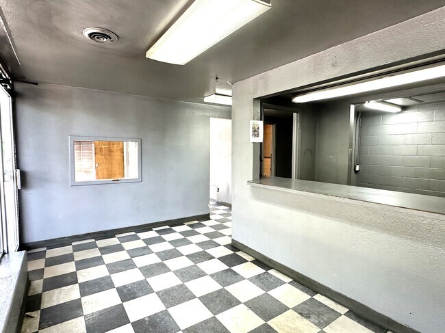
Warehouse
El Paso
X
Colorado
08041C0706G
1
2024
0.38 AC
2025
Southwest
006702
Colorado Springs
5,397 SF
DEMOGRAPHICS near 449 Manitou Ave
1 Mile
3 Mile
5 Mile
2024 Total Population
4,166
19,613
68,967
2029 Population
4,351
20,544
72,176
Pop Growth 2024-2029
+ 4.44%
+ 4.75%
+ 4.65%
Average Age
45
47
43
2024 Total Households
2,107
9,421
31,568
HH Growth 2024-2029
+ 4.70%
+ 5.10%
+ 4.95%
Median Household Inc
$78,409
$72,999
$68,850
Avg Household Size
2.00
2.00
2.10
2024 Avg HH Vehicles
2.00
2.00
2.00
Median Home Value
$563,267
$470,502
$464,457
Median Year Built
1950
1971
1975
Nearby Places
Map Layers
Map Styles
 Street
 Aerial
- Restaurants
- Banks
- Shops
- Fitness
- Groceries
PUBLIC TRANSPORTATION
AIRPORT
City of Colorado Springs Municipal
DRIVE
WALK
Distance
City of Colorado Springs Municipal
29 min
15.7 mi
SALE & LEASE HISTORY
LISTING DATE
SALE/LEASE

Sep 03, 2024
For Sale
Mar 03, 2025
For Lease
Jun 15, 2023
For Sale
Nearby Properties
Address
Land Use
TOTAL SIZE
Lot Size
Zoning
Address
Land Use
TOTAL SIZE
Lot Size
Zoning
107,247 SF
56.98 AC
R-E PF
Address
Land Use
TOTAL SIZE
Lot Size
Zoning
2,422 SF
616.19 AC
PK MX-I PD
Address
Land Use
TOTAL SIZE
Lot Size
Zoning
75,349 SF
27.75 AC
EPC
Address
Land Use
TOTAL SIZE
Lot Size
Zoning
45,268 SF
8.37 AC
PDZ UV
Address
Land Use
TOTAL SIZE
Lot Size
Zoning
37,196 SF
3 AC
PDZ
Address
Land Use
TOTAL SIZE
Lot Size
Zoning
4.78 AC
R-T
Address
Land Use
TOTAL SIZE
Lot Size
Zoning
157,471 SF
0.02 AC
PUD,HS
Address
Land Use
TOTAL SIZE
Lot Size
Zoning
17,764 SF
1.63 AC
PDZ
Address
Land Use
TOTAL SIZE
Lot Size
Zoning
20,147 SF
38.98 AC
PK HS
Address
Land Use
TOTAL SIZE
Lot Size
Zoning
127.25 AC
PK HS
Address
Land Use
TOTAL SIZE
Lot Size
Zoning
31,314 SF
1.55 AC
MX-M/CR
Address
Land Use
TOTAL SIZE
Lot Size
Zoning
34,296 SF
0.85 AC
Address
Land Use
TOTAL SIZE
Lot Size
Zoning
3,058 SF
28.22 AC
HLDR
Address
Land Use
TOTAL SIZE
Lot Size
Zoning
6,658 SF
189.56 AC
R-E PK HS
Address
Land Use
TOTAL SIZE
Lot Size
Zoning
14,263 SF
0.98 AC
R-2 R-5
Address
Land Use
TOTAL SIZE
Lot Size
Zoning
80 AC
PK HS SS
Address
Land Use
TOTAL SIZE
Lot Size
Zoning
1,188 SF
27.20 AC
R-E
Address
Land Use
TOTAL SIZE
Lot Size
Zoning
464,447 SF
17.53 AC
PDZ
Address
Land Use
TOTAL SIZE
Lot Size
Zoning
33,548 SF
3.80 AC
R-E
Address
Land Use
TOTAL SIZE
Lot Size
Zoning
31,110 SF
9.38 AC
R-1 6
Address
Land Use
TOTAL SIZE
Lot Size
Zoning
4,062 SF
355.88 AC
PK HS
Address
Land Use
TOTAL SIZE
Lot Size
Zoning
33,673 SF
0.83 AC
MX-M
Address
Land Use
TOTAL SIZE
Lot Size
Zoning
15,964 SF
6.04 AC
R-2 HS CU
Address
Land Use
TOTAL SIZE
Lot Size
Zoning
36,471 SF
3.03 AC
MX-L
Address
Land Use
TOTAL SIZE
Lot Size
Zoning
24,433 SF
1.69 AC
R-1 6
Address
Land Use
TOTAL SIZE
Lot Size
Zoning
16,964 SF
2.43 AC
PF
Address
Land Use
TOTAL SIZE
Lot Size
Zoning
38,885 SF
5.82 AC
R-1 6
Address
Land Use
TOTAL SIZE
Lot Size
Zoning
24,087 SF
1.25 AC
LI CU
Address
Land Use
TOTAL SIZE
Lot Size
Zoning
6,899 SF
2.77 AC
R-2 HS CU
Address
Land Use
TOTAL SIZE
Lot Size
Zoning
7,364 SF
0.34 AC
C
The World's #1 Commercial Real Estate Marketplace
Connect with us
© 2025 CoStar Group
The information above has been obtained from sources believed reliable. While we do not doubt its accuracy we have not verified it and make no guarantee, warranty or representation about it. It is your responsibility to independently confirm its accuracy and completeness. Any projections, opinions, assumptions, or estimates used are for example only and do not represent the current or future performance of the property. The value of this transaction to you depends on tax and other factors which should be evaluated by your tax, financial, and legal advisors. You and your advisors should conduct a careful, independent investigation of the property to determine to your satisfaction the suitability of the property for your needs.