Property Record
45 10Th St, Penrose, CO 81240

NEARBY LISTINGS FOR SALE OR LEASE
-
-
View all Penrose listings for sale on LoopNet.com
Property Detail
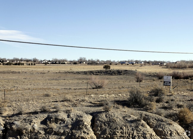
45 10Th St
000069079367
Beaver Park(All Fil)
Autorepair
TR-41 SEC 6-19-68 BEAVER PARK PLAT #1 LESS HWY CONTIG TO 690-80-101
X
Fremont
08043C0675E
Colorado
2025
9.20 AC
2024
Colorado Southwest Area
978100
Other Market Areas
2,400 SF
Cañon City, CO
DEMOGRAPHICS near 45 10Th St
1 mile
3 mile
5 mile
2024 Total Population
232
2,539
7,929
2029 Population
237
2,594
8,110
Pop Growth 2024-2029
+ 2.16%
+ 2.17%
+ 2.28%
Average Age
46
45
45
2024 Total Households
93
1,031
3,315
HH Growth 2024-2029
+ 2.15%
+ 2.33%
+ 2.41%
Median Household Inc
$58,749
$59,444
$58,584
Avg Household Size
2.40
2.40
2.30
2024 Avg HH Vehicles
2.00
2.00
2.00
Median Home Value
$237,500
$255,654
$219,544
Median Year Built
1976
1976
1975
Nearby Places
Map Layers
Map Styles
 Street
 Aerial
Transit
 Traffic
 Biking
Places
Listings with unknown addresses are not visible on the map
- Restaurants
- Banks
- Shops
- Fitness
- Groceries
Nearby Properties
Address
Land Use
TOTAL SIZE
Lot Size
Zoning
Address
Land Use
TOTAL SIZE
Lot Size
Zoning
16,000 SF
2,944.07 AC
Address
Land Use
TOTAL SIZE
Lot Size
Zoning
2,916 SF
56.70 AC
Address
Land Use
TOTAL SIZE
Lot Size
Zoning
9,350 SF
2.13 AC
Address
Land Use
TOTAL SIZE
Lot Size
Zoning
12,800 SF
12.40 AC
Address
Land Use
TOTAL SIZE
Lot Size
Zoning
6,000 SF
4.58 AC
Address
Land Use
TOTAL SIZE
Lot Size
Zoning
7,200 SF
2.05 AC
Address
Land Use
TOTAL SIZE
Lot Size
Zoning
6,382 SF
3.50 AC
Address
Land Use
TOTAL SIZE
Lot Size
Zoning
20,000 SF
35.02 AC
Address
Land Use
TOTAL SIZE
Lot Size
Zoning
840 SF
14.12 AC
Address
Land Use
TOTAL SIZE
Lot Size
Zoning
2,000 SF
8.80 AC
Address
Land Use
TOTAL SIZE
Lot Size
Zoning
7,175 SF
2.48 AC
Address
Land Use
TOTAL SIZE
Lot Size
Zoning
2,880 SF
40 AC
Address
Land Use
TOTAL SIZE
Lot Size
Zoning
4,452 SF
2 AC
Address
Land Use
TOTAL SIZE
Lot Size
Zoning
41.42 AC
Address
Land Use
TOTAL SIZE
Lot Size
Zoning
7,000 SF
Address
Land Use
TOTAL SIZE
Lot Size
Zoning
3,000 SF
0.28 AC
Address
Land Use
TOTAL SIZE
Lot Size
Zoning
984 SF
6.09 AC
Address
Land Use
TOTAL SIZE
Lot Size
Zoning
8,660 SF
9.82 AC
Address
Land Use
TOTAL SIZE
Lot Size
Zoning
9,348 SF
4.67 AC
Address
Land Use
TOTAL SIZE
Lot Size
Zoning
2,654 SF
81 AC
Address
Land Use
TOTAL SIZE
Lot Size
Zoning
4,259 SF
1.01 AC
Address
Land Use
TOTAL SIZE
Lot Size
Zoning
1,680 SF
3.85 AC
Address
Land Use
TOTAL SIZE
Lot Size
Zoning
1,278 SF
5.93 AC
Address
Land Use
TOTAL SIZE
Lot Size
Zoning
2,664 SF
0.71 AC
Address
Land Use
TOTAL SIZE
Lot Size
Zoning
4.83 AC
Address
Land Use
TOTAL SIZE
Lot Size
Zoning
240 SF
3.31 AC
Address
Land Use
TOTAL SIZE
Lot Size
Zoning
1,320 SF
7.60 AC
Address
Land Use
TOTAL SIZE
Lot Size
Zoning
2,500 SF
0.80 AC
Address
Land Use
TOTAL SIZE
Lot Size
Zoning
3,365 SF
4 AC
The World's #1 Commercial Real Estate Marketplace
Connect with us
© 2026 CoStar Group
The information above has been obtained from sources believed reliable. While we do not doubt its accuracy we have not verified it and make no guarantee, warranty or representation about it. It is your responsibility to independently confirm its accuracy and completeness. Any projections, opinions, assumptions, or estimates used are for example only and do not represent the current or future performance of the property. The value of this transaction to you depends on tax and other factors which should be evaluated by your tax, financial, and legal advisors. You and your advisors should conduct a careful, independent investigation of the property to determine to your satisfaction the suitability of the property for your needs.