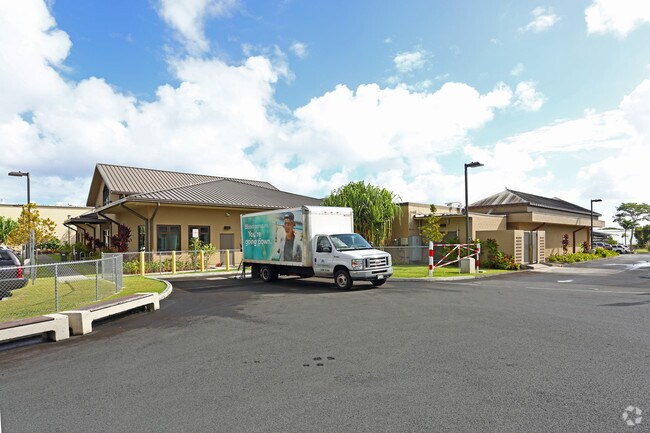
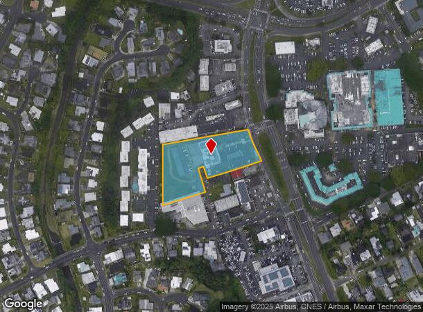
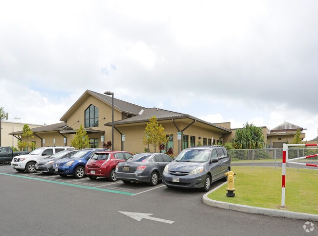
Property Record
45-618 Kamehameha Hwy, Kaneohe, HI 96744
NEARBY LISTINGS FOR SALE OR LEASE
Property Detail
45-618 Kamehameha Hwy
Urban Honolulu, HI
Halekou Waikalua Kai Homesteads
1-4-5-039-005-0000
POR LOT 7 & 8 POR LPGR 7273 HALEKOU-WAIKALUAKAI HMSTDS 114,668 SF SUBJ/E A FOR ACCESS 892 SF
Industrialgeneral
Honolulu
X
Hawaii
15003C0270J
7,8
2024
2.63 AC
2025
Windward
010602
Hawaii
20,238 SF
DEMOGRAPHICS near 45-618 Kamehameha Hwy
1 Mile
3 Mile
5 Mile
2024 Total Population
14,987
38,910
98,358
2029 Population
14,075
37,074
94,552
Pop Growth 2024-2029
(6.09%)
(4.72%)
(3.87%)
Average Age
44
43
41
2024 Total Households
4,409
12,198
30,202
HH Growth 2024-2029
(7.37%)
(5.66%)
(4.83%)
Median Household Inc
$128,732
$121,878
$121,842
Avg Household Size
3.10
3.00
2.90
2024 Avg HH Vehicles
2.00
2.00
2.00
Median Home Value
$800,389
$820,950
$937,200
Median Year Built
1966
1972
1970
Nearby Places
Map Layers
Map Styles
 Street
 Aerial
- Restaurants
- Banks
- Shops
- Fitness
- Groceries
PUBLIC TRANSPORTATION
AIRPORT
Daniel K Inouye International
DRIVE
WALK
Distance
Daniel K Inouye International
23 min
11.6 mi
Freight Ports
Honolulu Harbor, Oahu
DRIVE
WALK
Distance
Honolulu Harbor, Oahu
26 min
12.4 mi
Nearby Properties
Address
Land Use
TOTAL SIZE
Lot Size
Zoning
Address
Land Use
TOTAL SIZE
Lot Size
Zoning
206,907 SF
15.02 AC
B-2
Address
Land Use
TOTAL SIZE
Lot Size
Zoning
370,415 SF
9.03 AC
B-2
Address
Land Use
TOTAL SIZE
Lot Size
Zoning
325,894 SF
22.26 AC
I-2
Address
Land Use
TOTAL SIZE
Lot Size
Zoning
137,288 SF
16.12 AC
A-2
Address
Land Use
TOTAL SIZE
Lot Size
Zoning
118,302 SF
9.55 AC
B-2
Address
Land Use
TOTAL SIZE
Lot Size
Zoning
56.87 AC
I-1
Address
Land Use
TOTAL SIZE
Lot Size
Zoning
86.85 AC
AG-2
Address
Land Use
TOTAL SIZE
Lot Size
Zoning
128,707 SF
4.57 AC
B-2
Address
Land Use
TOTAL SIZE
Lot Size
Zoning
88,447 SF
4.41 AC
B-2
Address
Land Use
TOTAL SIZE
Lot Size
Zoning
85,618 SF
4.82 AC
B-2
Address
Land Use
TOTAL SIZE
Lot Size
Zoning
31,955 SF
215.52 AC
P-1
Address
Land Use
TOTAL SIZE
Lot Size
Zoning
116,574 SF
245.64 AC
P-1
Address
Land Use
TOTAL SIZE
Lot Size
Zoning
15.90 AC
I-2
Address
Land Use
TOTAL SIZE
Lot Size
Zoning
59,491 SF
1.55 AC
B-2
Address
Land Use
TOTAL SIZE
Lot Size
Zoning
52,880 SF
3.47 AC
B-2
Address
Land Use
TOTAL SIZE
Lot Size
Zoning
139,362 SF
4.76 AC
B-1
Address
Land Use
TOTAL SIZE
Lot Size
Zoning
69,142 SF
132.46 AC
P-1
Address
Land Use
TOTAL SIZE
Lot Size
Zoning
64.05 AC
AG-2
Address
Land Use
TOTAL SIZE
Lot Size
Zoning
3.21 AC
B-2
Address
Land Use
TOTAL SIZE
Lot Size
Zoning
38,744 SF
2.11 AC
B-2
Address
Land Use
TOTAL SIZE
Lot Size
Zoning
66,451 SF
1.49 AC
B-2
Address
Land Use
TOTAL SIZE
Lot Size
Zoning
413.01 AC
AG-2
Address
Land Use
TOTAL SIZE
Lot Size
Zoning
20,444 SF
0.53 AC
B-2
Address
Land Use
TOTAL SIZE
Lot Size
Zoning
122.50 AC
AG-1
Address
Land Use
TOTAL SIZE
Lot Size
Zoning
69,403 SF
0.65 AC
B-2
Address
Land Use
TOTAL SIZE
Lot Size
Zoning
8,206 SF
5.88 AC
P-2
Address
Land Use
TOTAL SIZE
Lot Size
Zoning
10,383 SF
1.80 AC
B-2
Address
Land Use
TOTAL SIZE
Lot Size
Zoning
56,250 SF
2.17 AC
I-2
Address
Land Use
TOTAL SIZE
Lot Size
Zoning
224.76 AC
P-1
The World's #1 Commercial Real Estate Marketplace
Connect with us
© 2025 CoStar Group
The information above has been obtained from sources believed reliable. While we do not doubt its accuracy we have not verified it and make no guarantee, warranty or representation about it. It is your responsibility to independently confirm its accuracy and completeness. Any projections, opinions, assumptions, or estimates used are for example only and do not represent the current or future performance of the property. The value of this transaction to you depends on tax and other factors which should be evaluated by your tax, financial, and legal advisors. You and your advisors should conduct a careful, independent investigation of the property to determine to your satisfaction the suitability of the property for your needs.