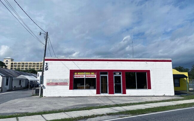
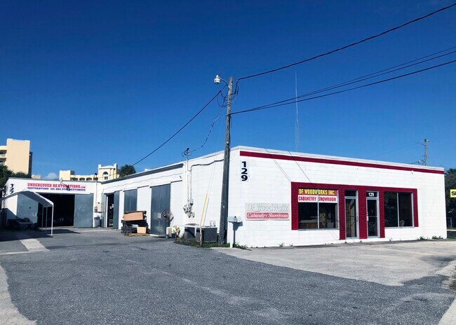
Property Record
450 Myrtice Ave, Merritt Island, FL 32953

NEARBY LISTINGS FOR SALE OR LEASE
Property Detail
450 Myrtice Ave
Palm Bay-Melbourne-Titusville, FL
Dardonville Subd
24-36-35-27-00000.0-0003.00
DARDONVILLE SUBD LOT 3
Commercialnec
Brevard
X
Florida
12009C0427H
3
2024
0.88 AC
2025
Brevard County
071602
Orlando
11,707 SF
DEMOGRAPHICS near 450 Myrtice Ave
1 Mile
3 Mile
5 Mile
2024 Total Population
6,443
46,949
91,814
2029 Population
6,978
51,371
100,173
Pop Growth 2024-2029
+ 8.30%
+ 9.42%
+ 9.10%
Average Age
44
44
44
2024 Total Households
2,869
20,389
38,572
HH Growth 2024-2029
+ 8.02%
+ 9.32%
+ 8.95%
Median Household Inc
$50,247
$58,551
$64,961
Avg Household Size
2.10
2.20
2.30
2024 Avg HH Vehicles
2.00
2.00
2.00
Median Home Value
$252,618
$282,569
$283,283
Median Year Built
1965
1969
1979
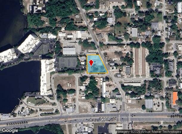
Nearby Places
Map Layers
Map Styles
 Street
 Aerial
- Restaurants
- Banks
- Shops
- Fitness
- Groceries
PUBLIC TRANSPORTATION
AIRPORT
Melbourne Orlando International
DRIVE
WALK
Distance
Melbourne Orlando International
41 min
25.7 mi
Freight Ports
Port Canaveral
DRIVE
WALK
Distance
Port Canaveral
17 min
9.6 mi
SALE & LEASE HISTORY
LISTING DATE
SALE/LEASE

Jul 14, 2023
For Sale
Feb 11, 2020
For Sale
Nearby Properties
Address
Land Use
TOTAL SIZE
Lot Size
Zoning
Address
Land Use
TOTAL SIZE
Lot Size
Zoning
411,148 SF
8.13 AC
HC
Address
Land Use
TOTAL SIZE
Lot Size
Zoning
326,407 SF
10 AC
C2
Address
Land Use
TOTAL SIZE
Lot Size
Zoning
68,677 SF
13.88 AC
RMU
Address
Land Use
TOTAL SIZE
Lot Size
Zoning
256,094 SF
37.37 AC
BU1
Address
Land Use
TOTAL SIZE
Lot Size
Zoning
263,066 SF
13.36 AC
PUD
Address
Land Use
TOTAL SIZE
Lot Size
Zoning
211,483 SF
14.46 AC
BU2
Address
Land Use
TOTAL SIZE
Lot Size
Zoning
276,665 SF
38.95 AC
R2
Address
Land Use
TOTAL SIZE
Lot Size
Zoning
313,612 SF
11.91 AC
BU1
Address
Land Use
TOTAL SIZE
Lot Size
Zoning
666,224 SF
55.06 AC
BU1
Address
Land Use
TOTAL SIZE
Lot Size
Zoning
212,232 SF
20.80 AC
RU215
Address
Land Use
TOTAL SIZE
Lot Size
Zoning
153,136 SF
8.65 AC
RU215
Address
Land Use
TOTAL SIZE
Lot Size
Zoning
105,278 SF
14.75 AC
AU
Address
Land Use
TOTAL SIZE
Lot Size
Zoning
8.30 AC
CW
Address
Land Use
TOTAL SIZE
Lot Size
Zoning
198,201 SF
26.18 AC
BU1
Address
Land Use
TOTAL SIZE
Lot Size
Zoning
122,116 SF
28.56 AC
AU
Address
Land Use
TOTAL SIZE
Lot Size
Zoning
140,113 SF
25 AC
GU
Address
Land Use
TOTAL SIZE
Lot Size
Zoning
249,080 SF
106.95 AC
GML
Address
Land Use
TOTAL SIZE
Lot Size
Zoning
67,595 SF
6.62 AC
Address
Land Use
TOTAL SIZE
Lot Size
Zoning
120,495 SF
3.86 AC
PUD
Address
Land Use
TOTAL SIZE
Lot Size
Zoning
87,441 SF
20.89 AC
R2
Address
Land Use
TOTAL SIZE
Lot Size
Zoning
98,877 SF
7.86 AC
BU2
Address
Land Use
TOTAL SIZE
Lot Size
Zoning
117,078 SF
6.13 AC
R2A 8/1
Address
Land Use
TOTAL SIZE
Lot Size
Zoning
89,408 SF
18.50 AC
GU
Address
Land Use
TOTAL SIZE
Lot Size
Zoning
101,494 SF
5.81 AC
CC
Address
Land Use
TOTAL SIZE
Lot Size
Zoning
96,814 SF
8.89 AC
RU215
Address
Land Use
TOTAL SIZE
Lot Size
Zoning
101,294 SF
20.14 AC
M2
Address
Land Use
TOTAL SIZE
Lot Size
Zoning
70,834 SF
15.33 AC
INL
Address
Land Use
TOTAL SIZE
Lot Size
Zoning
84,747 SF
8.57 AC
BU2
Address
Land Use
TOTAL SIZE
Lot Size
Zoning
130,361 SF
12.77 AC
BU1
Address
Land Use
TOTAL SIZE
Lot Size
Zoning
83,650 SF
25.65 AC
AU
The World's #1 Commercial Real Estate Marketplace
Connect with us
© 2025 CoStar Group
The information above has been obtained from sources believed reliable. While we do not doubt its accuracy we have not verified it and make no guarantee, warranty or representation about it. It is your responsibility to independently confirm its accuracy and completeness. Any projections, opinions, assumptions, or estimates used are for example only and do not represent the current or future performance of the property. The value of this transaction to you depends on tax and other factors which should be evaluated by your tax, financial, and legal advisors. You and your advisors should conduct a careful, independent investigation of the property to determine to your satisfaction the suitability of the property for your needs.