Property Record
4500 Housers Mill Rd, Byron, GA 31008
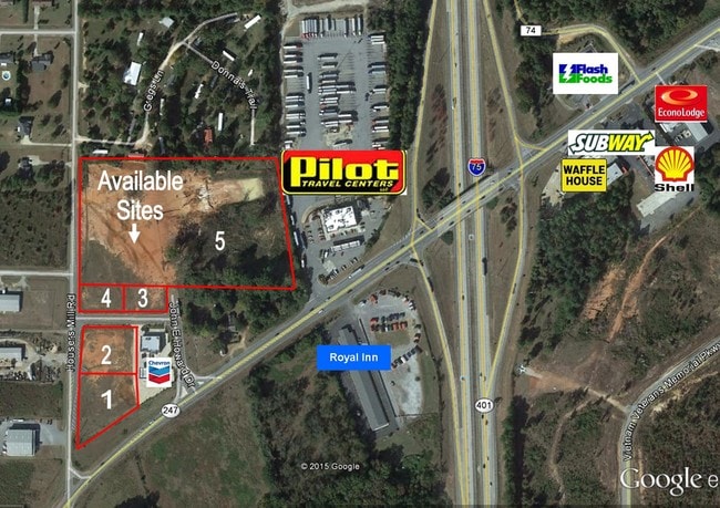


NEARBY LISTINGS FOR SALE OR LEASE
Property Detail
4500 Housers Mill Rd
Warner Robins, GA
Howard's Crossing
053D-060
LOT 6 \ HOWARD'S CROSSING S/D LL36 LD5
Autorepair
Peach
ARE
Georgia
13225C0130C
6
2025
8.49 AC
2025
Perry/Warner Robins
040103
Other Market Areas
12,800 SF
DEMOGRAPHICS near 4500 Housers Mill Rd
1 mile
3 mile
5 mile
2024 Total Population
805
17,683
54,882
2029 Population
845
18,953
59,348
Pop Growth 2024-2029
+ 4.97%
+ 7.18%
+ 8.14%
Average Age
43
40
39
2024 Total Households
333
7,097
21,218
HH Growth 2024-2029
+ 5.11%
+ 7.05%
+ 7.96%
Median Household Inc
$54,861
$75,913
$76,143
Avg Household Size
2.40
2.50
2.60
2024 Avg HH Vehicles
2.00
2.00
2.00
Median Home Value
$223,563
$175,485
$177,070
Median Year Built
2003
1999
1998
Nearby Places
Map Layers
Map Styles
 Street
 Aerial
Transit
 Traffic
 Biking
Places
Listings with unknown addresses are not visible on the map
- Restaurants
- Banks
- Shops
- Fitness
- Groceries
SALE & LEASE HISTORY
LISTING DATE
SALE/LEASE

Sep 24, 2016
For Sale
May 02, 2019
For Sale
Aug 10, 2017
For Sale
Nearby Properties
Address
Land Use
TOTAL SIZE
Lot Size
Zoning
Address
Land Use
TOTAL SIZE
Lot Size
Zoning
503,585 SF
61.05 AC
C-2, WR
Address
Land Use
TOTAL SIZE
Lot Size
Zoning
27,504 SF
26.31 AC
PUD
Address
Land Use
TOTAL SIZE
Lot Size
Zoning
9,600 SF
24.25 AC
C-H
Address
Land Use
TOTAL SIZE
Lot Size
Zoning
338,708 SF
28.28 AC
M-2 WR
Address
Land Use
TOTAL SIZE
Lot Size
Zoning
68,545 SF
19.94 AC
MULTI
Address
Land Use
TOTAL SIZE
Lot Size
Zoning
15,006 SF
28 AC
PDE
Address
Land Use
TOTAL SIZE
Lot Size
Zoning
7,172 SF
24.73 AC
R4
Address
Land Use
TOTAL SIZE
Lot Size
Zoning
225,751 SF
100 AC
M-1, WR
Address
Land Use
TOTAL SIZE
Lot Size
Zoning
18,954 SF
20 AC
C2
Address
Land Use
TOTAL SIZE
Lot Size
Zoning
63,274 SF
40.27 AC
C-2, WR
Address
Land Use
TOTAL SIZE
Lot Size
Zoning
56,260 SF
17.70 AC
C2
Address
Land Use
TOTAL SIZE
Lot Size
Zoning
5,320 SF
15.47 AC
R-4
Address
Land Use
TOTAL SIZE
Lot Size
Zoning
10,000 SF
43.93 AC
I-1
Address
Land Use
TOTAL SIZE
Lot Size
Zoning
94,274 SF
28.34 AC
R-AG
Address
Land Use
TOTAL SIZE
Lot Size
Zoning
60,300 SF
6.99 AC
M-2, WR
Address
Land Use
TOTAL SIZE
Lot Size
Zoning
2,116 SF
10.10 AC
C-1
Address
Land Use
TOTAL SIZE
Lot Size
Zoning
80,825 SF
7.20 AC
I-1
Address
Land Use
TOTAL SIZE
Lot Size
Zoning
70,500 SF
18.47 AC
R1
Address
Land Use
TOTAL SIZE
Lot Size
Zoning
14,140 SF
16.59 AC
R1
Address
Land Use
TOTAL SIZE
Lot Size
Zoning
418,404 SF
17.99 AC
C-H
Address
Land Use
TOTAL SIZE
Lot Size
Zoning
8,640 SF
12.49 AC
R-AG
Address
Land Use
TOTAL SIZE
Lot Size
Zoning
106,830 SF
20.82 AC
C-H
Address
Land Use
TOTAL SIZE
Lot Size
Zoning
35,841 SF
38.62 AC
RMH
Address
Land Use
TOTAL SIZE
Lot Size
Zoning
944 SF
294.54 AC
M-2 WR
Address
Land Use
TOTAL SIZE
Lot Size
Zoning
58,534 SF
7.82 AC
MULTI
Address
Land Use
TOTAL SIZE
Lot Size
Zoning
9,863 SF
11.85 AC
RR-1
Address
Land Use
TOTAL SIZE
Lot Size
Zoning
50,571 SF
2.02 AC
C2
Address
Land Use
TOTAL SIZE
Lot Size
Zoning
54.81 AC
C-2, WR
Address
Land Use
TOTAL SIZE
Lot Size
Zoning
27.42 AC
C-H
Address
Land Use
TOTAL SIZE
Lot Size
Zoning
79.81 AC
PDE (WR)
The World's #1 Commercial Real Estate Marketplace
Connect with us
© 2026 CoStar Group
The information above has been obtained from sources believed reliable. While we do not doubt its accuracy we have not verified it and make no guarantee, warranty or representation about it. It is your responsibility to independently confirm its accuracy and completeness. Any projections, opinions, assumptions, or estimates used are for example only and do not represent the current or future performance of the property. The value of this transaction to you depends on tax and other factors which should be evaluated by your tax, financial, and legal advisors. You and your advisors should conduct a careful, independent investigation of the property to determine to your satisfaction the suitability of the property for your needs.