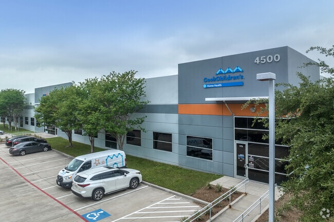
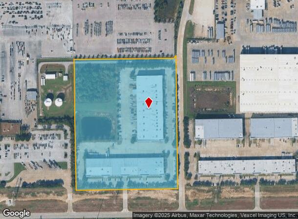
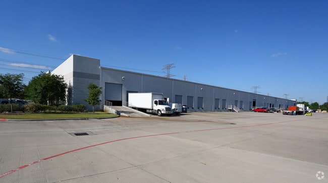
Property Record
4500 N Sam Houston Pkwy W, Houston, TX 77086
NEARBY LISTINGS FOR SALE OR LEASE
Property Detail
4500 N Sam Houston Pkwy W
1274160010001
Champions Green Sec 2
Outdoorrecreationbeachmountaindesert
RES A BLK 1 CHAMPIONS GREEN SEC 2
AE
Harris
48201C0455L
Texas
2024
14.75 AC
2025
North Fwy/Tomball Pky
550700
Houston
145,800 SF
Houston-The Woodlands-Sugar Land, TX
DEMOGRAPHICS near 4500 N Sam Houston Pkwy W
1 Mile
3 Mile
5 Mile
2024 Total Population
13,374
105,363
306,260
2029 Population
13,448
106,280
310,175
Pop Growth 2024-2029
+ 0.55%
+ 0.87%
+ 1.28%
Average Age
36
36
36
2024 Total Households
3,954
30,634
100,649
HH Growth 2024-2029
+ 0.51%
+ 0.81%
+ 1.30%
Median Household Inc
$56,089
$60,199
$54,587
Avg Household Size
3.30
3.30
3.00
2024 Avg HH Vehicles
2.00
2.00
2.00
Median Home Value
$155,433
$168,187
$184,567
Median Year Built
1984
1986
1987
Nearby Places
- Restaurants
- Banks
- Shops
- Fitness
- Groceries
PUBLIC TRANSPORTATION
AIRPORT
George Bush Intcntl/Houston
DRIVE
WALK
Distance
George Bush Intcntl/Houston
18 min
13.0 mi
William P Hobby
DRIVE
WALK
Distance
William P Hobby
48 min
30.7 mi
Freight Ports
Port of Houston
DRIVE
WALK
Distance
Port of Houston
39 min
26.4 mi
SALE & LEASE HISTORY
LISTING DATE
SALE/LEASE

Sep 25, 2016
For Lease
Sep 09, 2019
For Lease
May 26, 2022
For Lease
Dec 21, 2022
For Lease
Nearby Properties
Address
Land Use
TOTAL SIZE
Lot Size
Zoning
Address
Land Use
TOTAL SIZE
Lot Size
Zoning
552,757 SF
32.95 AC
Address
Land Use
TOTAL SIZE
Lot Size
Zoning
546,420 SF
40.07 AC
Address
Land Use
TOTAL SIZE
Lot Size
Zoning
527,744 SF
35.46 AC
Address
Land Use
TOTAL SIZE
Lot Size
Zoning
402,504 SF
31.93 AC
Address
Land Use
TOTAL SIZE
Lot Size
Zoning
502,860 SF
40.99 AC
Address
Land Use
TOTAL SIZE
Lot Size
Zoning
399,828 SF
20.32 AC
Address
Land Use
TOTAL SIZE
Lot Size
Zoning
424,122 SF
21.06 AC
Address
Land Use
TOTAL SIZE
Lot Size
Zoning
423,472 SF
28.91 AC
Address
Land Use
TOTAL SIZE
Lot Size
Zoning
361,800 SF
18.20 AC
Address
Land Use
TOTAL SIZE
Lot Size
Zoning
351,235 SF
20.73 AC
Address
Land Use
TOTAL SIZE
Lot Size
Zoning
215,968 SF
17.23 AC
Address
Land Use
TOTAL SIZE
Lot Size
Zoning
356,656 SF
23.54 AC
Address
Land Use
TOTAL SIZE
Lot Size
Zoning
292,112 SF
4.41 AC
Address
Land Use
TOTAL SIZE
Lot Size
Zoning
272,600 SF
23.27 AC
Address
Land Use
TOTAL SIZE
Lot Size
Zoning
200,123 SF
14.94 AC
Address
Land Use
TOTAL SIZE
Lot Size
Zoning
293,280 SF
16.24 AC
Address
Land Use
TOTAL SIZE
Lot Size
Zoning
614,712 SF
7.93 AC
Address
Land Use
TOTAL SIZE
Lot Size
Zoning
352,680 SF
28.21 AC
Address
Land Use
TOTAL SIZE
Lot Size
Zoning
240,905 SF
19.98 AC
Address
Land Use
TOTAL SIZE
Lot Size
Zoning
287,510 SF
19.43 AC
Address
Land Use
TOTAL SIZE
Lot Size
Zoning
241,946 SF
14.02 AC
Address
Land Use
TOTAL SIZE
Lot Size
Zoning
253,369 SF
16.81 AC
Address
Land Use
TOTAL SIZE
Lot Size
Zoning
172,500 SF
13.15 AC
Address
Land Use
TOTAL SIZE
Lot Size
Zoning
319,231 SF
14.97 AC
Address
Land Use
TOTAL SIZE
Lot Size
Zoning
209,825 SF
11.97 AC
Address
Land Use
TOTAL SIZE
Lot Size
Zoning
523,507 SF
38.28 AC
Address
Land Use
TOTAL SIZE
Lot Size
Zoning
397,012 SF
35.38 AC
Address
Land Use
TOTAL SIZE
Lot Size
Zoning
214.58 AC
Address
Land Use
TOTAL SIZE
Lot Size
Zoning
348,857 SF
20.06 AC
Address
Land Use
TOTAL SIZE
Lot Size
Zoning
188,236 SF
9.67 AC
The World's #1 Commercial Real Estate Marketplace
Connect with us
© 2025 CoStar Group
The information above has been obtained from sources believed reliable. While we do not doubt its accuracy we have not verified it and make no guarantee, warranty or representation about it. It is your responsibility to independently confirm its accuracy and completeness. Any projections, opinions, assumptions, or estimates used are for example only and do not represent the current or future performance of the property. The value of this transaction to you depends on tax and other factors which should be evaluated by your tax, financial, and legal advisors. You and your advisors should conduct a careful, independent investigation of the property to determine to your satisfaction the suitability of the property for your needs.