Property Record
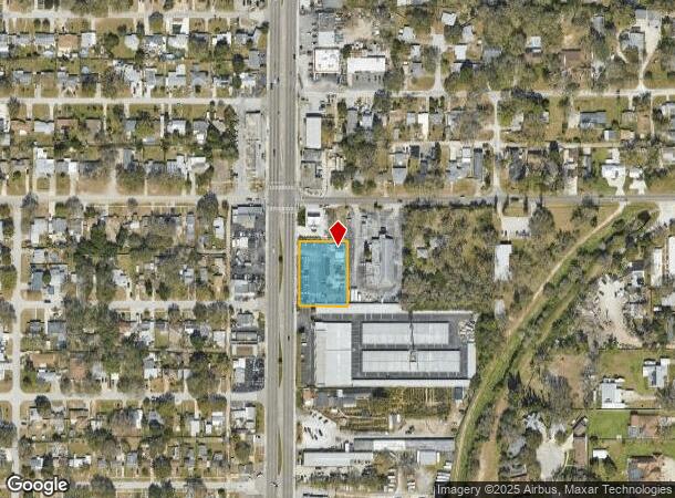
4501 49Th St N, Saint Petersburg, FL 33709
NEARBY LISTINGS FOR SALE OR LEASE
Property Detail
4501 49Th St N
04-31-16-00000-410-1500
W 200Ft Of N 1/2 Of Nw 1/4
Vehiclerentalsvehiclesales
W 200FT OF N 1/2 OF NW 1/4 OF NE 1/4 OF SE 1/4 OF SEC 4-31-16 LESS N 130FT THEREOF & LESS W 50FT FOR RD R/W
X
Pinellas
12103C0204H
Florida
2024
0.70 AC
2025
South Pinellas
024702
Tampa/St Petersburg
1,785 SF
Tampa-St. Petersburg-Clearwater, FL
DEMOGRAPHICS near 4501 49Th St N
1 Mile
3 Mile
5 Mile
2024 Total Population
15,120
127,224
298,095
2029 Population
15,098
127,213
298,948
Pop Growth 2024-2029
(0.15%)
(0.01%)
+ 0.29%
Average Age
42
43
44
2024 Total Households
6,352
55,113
136,478
HH Growth 2024-2029
(0.44%)
(0.12%)
+ 0.15%
Median Household Inc
$54,964
$56,078
$58,907
Avg Household Size
2.30
2.20
2.10
2024 Avg HH Vehicles
2.00
2.00
2.00
Median Home Value
$216,808
$216,610
$255,000
Median Year Built
1962
1966
1968
Nearby Places
- Restaurants
- Banks
- Shops
- Fitness
- Groceries
PUBLIC TRANSPORTATION
AIRPORT
St Pete-Clearwater International
DRIVE
WALK
Distance
St Pete-Clearwater International
20 min
9.1 mi
Tampa International
DRIVE
WALK
Distance
Tampa International
30 min
19.9 mi
Freight Ports
Port Manatee
DRIVE
WALK
Distance
Port Manatee
40 min
29.5 mi
SALE & LEASE HISTORY
LISTING DATE
SALE/LEASE

Jun 01, 2021
For Sale
Dec 20, 2018
For Sale
Dec 20, 2017
For Sale
Nearby Properties
Address
Land Use
TOTAL SIZE
Lot Size
Zoning
Address
Land Use
TOTAL SIZE
Lot Size
Zoning
478,217 SF
9.84 AC
Address
Land Use
TOTAL SIZE
Lot Size
Zoning
447,664 SF
34.44 AC
Address
Land Use
TOTAL SIZE
Lot Size
Zoning
738,882 SF
43.34 AC
Address
Land Use
TOTAL SIZE
Lot Size
Zoning
404,063 SF
12.98 AC
Address
Land Use
TOTAL SIZE
Lot Size
Zoning
404,899 SF
35.35 AC
Address
Land Use
TOTAL SIZE
Lot Size
Zoning
358,681 SF
11.70 AC
Address
Land Use
TOTAL SIZE
Lot Size
Zoning
396,428 SF
19.76 AC
Address
Land Use
TOTAL SIZE
Lot Size
Zoning
324,579 SF
16.97 AC
Address
Land Use
TOTAL SIZE
Lot Size
Zoning
309,526 SF
36.85 AC
C2
Address
Land Use
TOTAL SIZE
Lot Size
Zoning
300,546 SF
6.49 AC
Address
Land Use
TOTAL SIZE
Lot Size
Zoning
170,146 SF
17.78 AC
Address
Land Use
TOTAL SIZE
Lot Size
Zoning
267,649 SF
17.86 AC
Address
Land Use
TOTAL SIZE
Lot Size
Zoning
142,529 SF
46.62 AC
Address
Land Use
TOTAL SIZE
Lot Size
Zoning
186,094 SF
11.96 AC
Address
Land Use
TOTAL SIZE
Lot Size
Zoning
127,237 SF
10.53 AC
Address
Land Use
TOTAL SIZE
Lot Size
Zoning
195,863 SF
18.57 AC
Address
Land Use
TOTAL SIZE
Lot Size
Zoning
193,194 SF
13.53 AC
Address
Land Use
TOTAL SIZE
Lot Size
Zoning
360,137 SF
37.64 AC
AE
Address
Land Use
TOTAL SIZE
Lot Size
Zoning
172,600 SF
20.57 AC
Address
Land Use
TOTAL SIZE
Lot Size
Zoning
172,768 SF
15.05 AC
RPD20
Address
Land Use
TOTAL SIZE
Lot Size
Zoning
144,334 SF
2.50 AC
Address
Land Use
TOTAL SIZE
Lot Size
Zoning
125,218 SF
13.51 AC
Address
Land Use
TOTAL SIZE
Lot Size
Zoning
88,793 SF
13.78 AC
IL
Address
Land Use
TOTAL SIZE
Lot Size
Zoning
113,365 SF
13.32 AC
Address
Land Use
TOTAL SIZE
Lot Size
Zoning
226,561 SF
24.34 AC
Address
Land Use
TOTAL SIZE
Lot Size
Zoning
116,358 SF
12.74 AC
Address
Land Use
TOTAL SIZE
Lot Size
Zoning
248,572 SF
15.22 AC
PSP
Address
Land Use
TOTAL SIZE
Lot Size
Zoning
48,862 SF
3.72 AC
Address
Land Use
TOTAL SIZE
Lot Size
Zoning
220,805 SF
5.93 AC
Address
Land Use
TOTAL SIZE
Lot Size
Zoning
145,047 SF
12.03 AC
The World's #1 Commercial Real Estate Marketplace
Connect with us
© 2025 CoStar Group
The information above has been obtained from sources believed reliable. While we do not doubt its accuracy we have not verified it and make no guarantee, warranty or representation about it. It is your responsibility to independently confirm its accuracy and completeness. Any projections, opinions, assumptions, or estimates used are for example only and do not represent the current or future performance of the property. The value of this transaction to you depends on tax and other factors which should be evaluated by your tax, financial, and legal advisors. You and your advisors should conduct a careful, independent investigation of the property to determine to your satisfaction the suitability of the property for your needs.