Property Record
4501 Packard Dr, Nashville, TN 37211


NEARBY LISTINGS FOR SALE OR LEASE
-
-
View all Nashville listings for sale on LoopNet.com
Property Detail
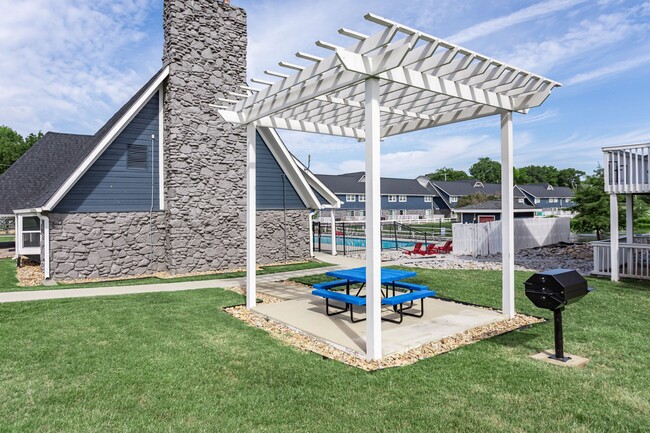
4501 Packard Dr
148-00-0-155
PHASE 1 BAVARIA APARTMENT SITE RE-SUB
Apartment
Davidson
X
Tennessee
47037C0379H
14.09 AC
2025
Outer Southeast Nashville
2025
Nashville
019108
Nashville-Davidson--Murfreesboro--Franklin, TN
7,020 SF
DEMOGRAPHICS near 4501 Packard Dr
1 Mile
3 Mile
5 Mile
2024 Total Population
13,341
95,777
193,989
2029 Population
12,784
93,033
189,600
Pop Growth 2024-2029
(4.18%)
(2.86%)
(2.26%)
Average Age
34
34
36
2024 Total Households
4,241
35,174
73,492
HH Growth 2024-2029
(4.69%)
(3.28%)
(2.73%)
Median Household Inc
$48,341
$57,066
$63,087
Avg Household Size
3.00
2.60
2.50
2024 Avg HH Vehicles
2.00
2.00
2.00
Median Home Value
$249,390
$272,683
$305,344
Median Year Built
1975
1983
1986
Nearby Places
Map Layers
Map Styles
 Street
 Aerial
- Restaurants
- Banks
- Shops
- Fitness
- Groceries
PUBLIC TRANSPORTATION
AIRPORT
Nashville International
DRIVE
WALK
Distance
Nashville International
13 min
6.3 mi
Freight Ports
Port of Mobile
DRIVE
WALK
Distance
Port of Mobile
486 min
443.4 mi
Nearby Properties
Address
Land Use
TOTAL SIZE
Lot Size
Zoning
Address
Land Use
TOTAL SIZE
Lot Size
Zoning
449,761 SF
80.78 AC
IWD
Address
Land Use
TOTAL SIZE
Lot Size
Zoning
297,033 SF
40.41 AC
MULTI-ZONE
Address
Land Use
TOTAL SIZE
Lot Size
Zoning
157,123 SF
12.11 AC
SCR
Address
Land Use
TOTAL SIZE
Lot Size
Zoning
2,160 SF
39.93 AC
MULTI-ZONE
Address
Land Use
TOTAL SIZE
Lot Size
Zoning
109,677 SF
9.93 AC
CL
Address
Land Use
TOTAL SIZE
Lot Size
Zoning
91,045 SF
36.54 AC
MULTI-ZONE
Address
Land Use
TOTAL SIZE
Lot Size
Zoning
48,247 SF
Address
Land Use
TOTAL SIZE
Lot Size
Zoning
77,752 SF
13.44 AC
AR2A
Address
Land Use
TOTAL SIZE
Lot Size
Zoning
17,304 SF
41.35 AC
R8
Address
Land Use
TOTAL SIZE
Lot Size
Zoning
304,930 SF
31.88 AC
MULTI-ZONE
Address
Land Use
TOTAL SIZE
Lot Size
Zoning
42,711 SF
18.42 AC
MULTIZONE
Address
Land Use
TOTAL SIZE
Lot Size
Zoning
28,077 SF
24.95 AC
RM15
Address
Land Use
TOTAL SIZE
Lot Size
Zoning
36,000 SF
56.16 AC
IWD
Address
Land Use
TOTAL SIZE
Lot Size
Zoning
29,010 SF
16.19 AC
SP
Address
Land Use
TOTAL SIZE
Lot Size
Zoning
23,184 SF
24.15 AC
R15
Address
Land Use
TOTAL SIZE
Lot Size
Zoning
16,726 SF
26.98 AC
R15
Address
Land Use
TOTAL SIZE
Lot Size
Zoning
15,388 SF
25.28 AC
R8
Address
Land Use
TOTAL SIZE
Lot Size
Zoning
18,288 SF
41.06 AC
R10
Address
Land Use
TOTAL SIZE
Lot Size
Zoning
6,912 SF
47.91 AC
R10
Address
Land Use
TOTAL SIZE
Lot Size
Zoning
25,260 SF
33.29 AC
MULTIZONE
Address
Land Use
TOTAL SIZE
Lot Size
Zoning
48,405 SF
16.72 AC
MULTI-ZONE
Address
Land Use
TOTAL SIZE
Lot Size
Zoning
3,994 SF
29.93 AC
RM15
Address
Land Use
TOTAL SIZE
Lot Size
Zoning
10,236 SF
31.36 AC
R10
Address
Land Use
TOTAL SIZE
Lot Size
Zoning
8,064 SF
20.95 AC
RM15
Address
Land Use
TOTAL SIZE
Lot Size
Zoning
53,810 SF
26.20 AC
MULTI-ZONE
Address
Land Use
TOTAL SIZE
Lot Size
Zoning
8,670 SF
10.02 AC
RM15
Address
Land Use
TOTAL SIZE
Lot Size
Zoning
17,642 SF
33.15 AC
RM15
Address
Land Use
TOTAL SIZE
Lot Size
Zoning
31,451 SF
8.79 AC
CS
Address
Land Use
TOTAL SIZE
Lot Size
Zoning
235,825 SF
5.07 AC
AR2A
Address
Land Use
TOTAL SIZE
Lot Size
Zoning
18,136 SF
15.81 AC
RM15
The World's #1 Commercial Real Estate Marketplace
Connect with us
© 2025 CoStar Group
The information above has been obtained from sources believed reliable. While we do not doubt its accuracy we have not verified it and make no guarantee, warranty or representation about it. It is your responsibility to independently confirm its accuracy and completeness. Any projections, opinions, assumptions, or estimates used are for example only and do not represent the current or future performance of the property. The value of this transaction to you depends on tax and other factors which should be evaluated by your tax, financial, and legal advisors. You and your advisors should conduct a careful, independent investigation of the property to determine to your satisfaction the suitability of the property for your needs.