Property Record
451 Buttermilk Pike, Ft Mitchell, KY 41017
NEARBY LISTINGS FOR SALE OR LEASE
Property Detail
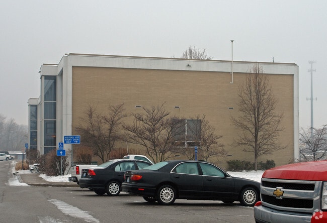
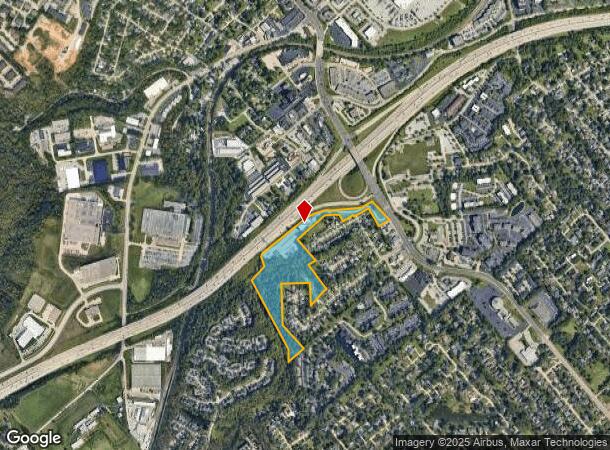
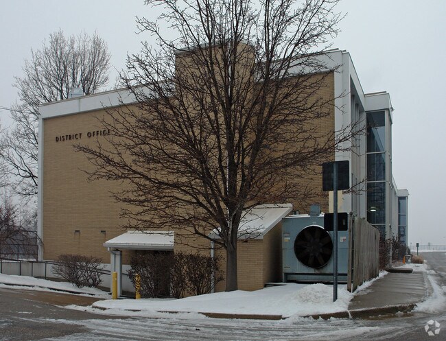
451 Buttermilk Pike
014-30-00-197.00
16.337 ACS SEC I-75 & BUTTERMILK
Officebuilding
Kenton
A
Kentucky
21037C0025E
16.34 AC
0
Cincinnati Intl Airport
2025
Cincinnati/Dayton
064600
Cincinnati, OH-KY-IN
DEMOGRAPHICS near 451 Buttermilk Pike
1 Mile
3 Mile
5 Mile
2024 Total Population
10,170
57,524
182,329
2029 Population
10,385
58,705
186,250
Pop Growth 2024-2029
+ 2.11%
+ 2.05%
+ 2.15%
Average Age
40
41
39
2024 Total Households
4,351
23,867
75,534
HH Growth 2024-2029
+ 2.00%
+ 1.98%
+ 2.23%
Median Household Inc
$74,467
$75,980
$60,517
Avg Household Size
2.30
2.30
2.30
2024 Avg HH Vehicles
2.00
2.00
2.00
Median Home Value
$258,956
$240,368
$186,910
Median Year Built
1975
1974
1965
Nearby Places
- Restaurants
- Banks
- Shops
- Fitness
- Groceries
PUBLIC TRANSPORTATION
COMMUTER RAIL
DRIVE
WALK
Distance
14 min
7.6 mi
AIRPORT
Cincinnati/Northern Kentucky International
DRIVE
WALK
Distance
Cincinnati/Northern Kentucky International
15 min
6.3 mi
Nearby Properties
Address
Land Use
TOTAL SIZE
Lot Size
Zoning
Address
Land Use
TOTAL SIZE
Lot Size
Zoning
Address
Land Use
TOTAL SIZE
Lot Size
Zoning
Address
Land Use
TOTAL SIZE
Lot Size
Zoning
157.77 AC
Address
Land Use
TOTAL SIZE
Lot Size
Zoning
46.68 AC
Address
Land Use
TOTAL SIZE
Lot Size
Zoning
19.43 AC
Address
Land Use
TOTAL SIZE
Lot Size
Zoning
475,250 SF
37.16 AC
Address
Land Use
TOTAL SIZE
Lot Size
Zoning
13.62 AC
Address
Land Use
TOTAL SIZE
Lot Size
Zoning
56.94 AC
Address
Land Use
TOTAL SIZE
Lot Size
Zoning
12.85 AC
Address
Land Use
TOTAL SIZE
Lot Size
Zoning
21.55 AC
Address
Land Use
TOTAL SIZE
Lot Size
Zoning
12.13 AC
Address
Land Use
TOTAL SIZE
Lot Size
Zoning
769,604 SF
14 AC
Address
Land Use
TOTAL SIZE
Lot Size
Zoning
Address
Land Use
TOTAL SIZE
Lot Size
Zoning
30.11 AC
Address
Land Use
TOTAL SIZE
Lot Size
Zoning
24.80 AC
Address
Land Use
TOTAL SIZE
Lot Size
Zoning
15.05 AC
Address
Land Use
TOTAL SIZE
Lot Size
Zoning
50,536 SF
34.12 AC
Address
Land Use
TOTAL SIZE
Lot Size
Zoning
99.35 AC
Address
Land Use
TOTAL SIZE
Lot Size
Zoning
57,030 SF
7 AC
Address
Land Use
TOTAL SIZE
Lot Size
Zoning
12.60 AC
Address
Land Use
TOTAL SIZE
Lot Size
Zoning
Address
Land Use
TOTAL SIZE
Lot Size
Zoning
85,726 SF
15.07 AC
Address
Land Use
TOTAL SIZE
Lot Size
Zoning
7.82 AC
Address
Land Use
TOTAL SIZE
Lot Size
Zoning
Address
Land Use
TOTAL SIZE
Lot Size
Zoning
176,588 SF
24.35 AC
Address
Land Use
TOTAL SIZE
Lot Size
Zoning
10.62 AC
Address
Land Use
TOTAL SIZE
Lot Size
Zoning
Address
Land Use
TOTAL SIZE
Lot Size
Zoning
194,304 SF
15.77 AC
Address
Land Use
TOTAL SIZE
Lot Size
Zoning
61,013 SF
6.73 AC
Address
Land Use
TOTAL SIZE
Lot Size
Zoning
126,326 SF
8.87 AC
The World's #1 Commercial Real Estate Marketplace
Connect with us
© 2025 CoStar Group
The information above has been obtained from sources believed reliable. While we do not doubt its accuracy we have not verified it and make no guarantee, warranty or representation about it. It is your responsibility to independently confirm its accuracy and completeness. Any projections, opinions, assumptions, or estimates used are for example only and do not represent the current or future performance of the property. The value of this transaction to you depends on tax and other factors which should be evaluated by your tax, financial, and legal advisors. You and your advisors should conduct a careful, independent investigation of the property to determine to your satisfaction the suitability of the property for your needs.