Property Record
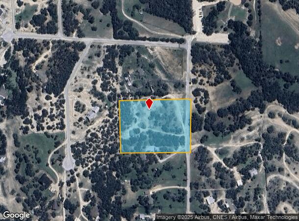
451 Farrell Rd, Dripping Springs, TX 78620


Property Detail
451 Farrell Rd
R15004
Benjamin F Hanna Survey
Sfr
ABS 222 BENJAMIN F HANNA SURVEY 4.00 AC GEO#90400609
X
Hays
48209C0085F
Texas
2024
4 AC
2024
Hays County
010817
Austin
800 SF
Austin-Round Rock-San Marcos, TX
NEARBY LISTINGS FOR SALE OR LEASE
DEMOGRAPHICS near 451 Farrell Rd
1 mile
3 mile
5 mile
2024 Total Population
1,141
6,736
14,370
2029 Population
1,518
8,971
19,093
Pop Growth 2024-2029
+ 33.04%
+ 33.18%
+ 32.87%
Average Age
42
42
42
2024 Total Households
411
2,409
5,172
HH Growth 2024-2029
+ 34.06%
+ 34.12%
+ 33.82%
Median Household Inc
$124,999
$123,698
$122,301
Avg Household Size
2.80
2.70
2.70
2024 Avg HH Vehicles
2.00
2.00
2.00
Median Home Value
$698,895
$670,419
$653,647
Median Year Built
2007
2003
2005
Nearby Places
Map Layers
Map Styles
 Street
 Aerial
Transit
 Traffic
 Biking
Places
Listings with unknown addresses are not visible on the map
- Restaurants
- Banks
- Shops
- Fitness
- Groceries
PUBLIC TRANSPORTATION
AIRPORT
Austin-Bergstrom International
Drive
Walk
Distance
Austin-Bergstrom International
53 min
32.8 mi
SALE & LEASE HISTORY
LISTING DATE
SALE/LEASE

Jun 10, 2022
For Sale
Aug 08, 2024
For Sale
Nearby Properties
Address
Land Use
TOTAL SIZE
Lot Size
Zoning
Address
Land Use
TOTAL SIZE
Lot Size
Zoning
16,274 SF
22.16 AC
Address
Land Use
TOTAL SIZE
Lot Size
Zoning
79,769 SF
35.70 AC
Address
Land Use
TOTAL SIZE
Lot Size
Zoning
204,400 SF
1.34 AC
Address
Land Use
TOTAL SIZE
Lot Size
Zoning
38.01 AC
Address
Land Use
TOTAL SIZE
Lot Size
Zoning
Address
Land Use
TOTAL SIZE
Lot Size
Zoning
70,096 SF
6.82 AC
Address
Land Use
TOTAL SIZE
Lot Size
Zoning
27,828 SF
2.18 AC
Address
Land Use
TOTAL SIZE
Lot Size
Zoning
Address
Land Use
TOTAL SIZE
Lot Size
Zoning
16,500 SF
10 AC
Address
Land Use
TOTAL SIZE
Lot Size
Zoning
9,880 SF
10 AC
Address
Land Use
TOTAL SIZE
Lot Size
Zoning
106,783 SF
5.79 AC
Address
Land Use
TOTAL SIZE
Lot Size
Zoning
1,781 SF
63.13 AC
Address
Land Use
TOTAL SIZE
Lot Size
Zoning
1,944 SF
5 AC
Address
Land Use
TOTAL SIZE
Lot Size
Zoning
13,064 SF
3.02 AC
Address
Land Use
TOTAL SIZE
Lot Size
Zoning
24,336 SF
2.72 AC
Address
Land Use
TOTAL SIZE
Lot Size
Zoning
Address
Land Use
TOTAL SIZE
Lot Size
Zoning
4,751 SF
9.39 AC
Address
Land Use
TOTAL SIZE
Lot Size
Zoning
1,212 SF
27.30 AC
Address
Land Use
TOTAL SIZE
Lot Size
Zoning
13,890 SF
1.05 AC
Address
Land Use
TOTAL SIZE
Lot Size
Zoning
4,962 SF
23.48 AC
Address
Land Use
TOTAL SIZE
Lot Size
Zoning
9,913 SF
15.01 AC
Address
Land Use
TOTAL SIZE
Lot Size
Zoning
6,298 SF
4.16 AC
Address
Land Use
TOTAL SIZE
Lot Size
Zoning
14,176 SF
2.34 AC
Address
Land Use
TOTAL SIZE
Lot Size
Zoning
10,824 SF
3.24 AC
Address
Land Use
TOTAL SIZE
Lot Size
Zoning
Address
Land Use
TOTAL SIZE
Lot Size
Zoning
4,978 SF
1.38 AC
Address
Land Use
TOTAL SIZE
Lot Size
Zoning
60,980 SF
36.80 AC
Address
Land Use
TOTAL SIZE
Lot Size
Zoning
18,900 SF
3.93 AC
Address
Land Use
TOTAL SIZE
Lot Size
Zoning
Address
Land Use
TOTAL SIZE
Lot Size
Zoning
196.48 AC
The World's #1 Commercial Real Estate Marketplace
Connect with us
© 2026 CoStar Group
The information above has been obtained from sources believed reliable. While we do not doubt its accuracy we have not verified it and make no guarantee, warranty or representation about it. It is your responsibility to independently confirm its accuracy and completeness. Any projections, opinions, assumptions, or estimates used are for example only and do not represent the current or future performance of the property. The value of this transaction to you depends on tax and other factors which should be evaluated by your tax, financial, and legal advisors. You and your advisors should conduct a careful, independent investigation of the property to determine to your satisfaction the suitability of the property for your needs.