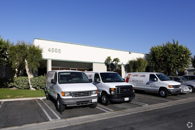
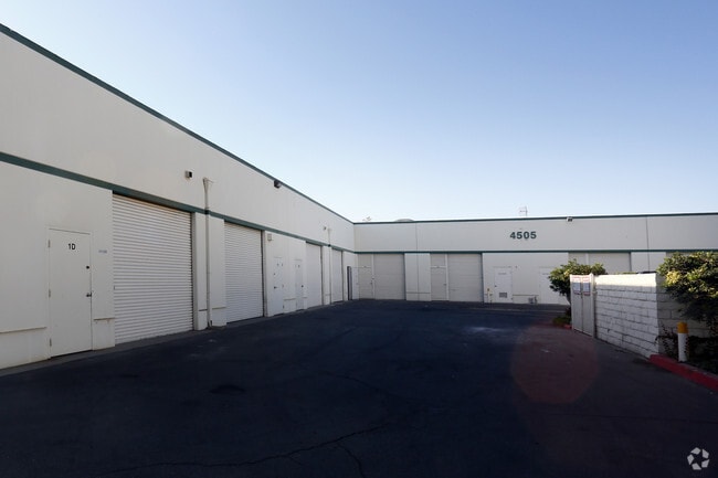
Property Record
4505 Industrial St, Simi Valley, CA 93063

Property Detail
4505 Industrial St
644-0-070-475
TRACT: 361600 REF: 95 MR 28
Industrialgeneral
Ventura
M1
California
B and X Area of moderate flood hazard, usually the area between the limits of the 100-year and 500-year floods.
2.55 AC
2024
Moorpark/Simi Val
2025
Los Angeles
008201
Oxnard-Thousand Oaks-Ventura, CA
39,145 SF
NEARBY LISTINGS FOR SALE OR LEASE
DEMOGRAPHICS near 4505 Industrial St
1 mile
3 mile
5 mile
2025 Total Population
11,988
76,793
114,191
2030 Population
11,822
76,198
113,233
Pop Growth 2025-2030
(1.38%)
(0.77%)
(0.84%)
Average Age
41
42
42
2025 Total Households
4,105
25,803
38,044
HH Growth 2025-2030
(1.63%)
(1.00%)
(1.03%)
Median Household Inc
$121,499
$121,592
$118,522
Avg Household Size
2.80
2.90
2.90
2025 Avg HH Vehicles
2.00
2.00
2.00
Median Home Value
$742,041
$765,763
$781,089
Median Year Built
1978
1976
1977
Nearby Places
Map Layers
Map Styles
 Street
 Aerial
Transit
 Traffic
 Biking
Places
Listings with unknown addresses are not visible on the map
- Restaurants
- Banks
- Shops
- Fitness
- Groceries
PUBLIC TRANSPORTATION
TRANSIT/SUBWAY
Simi Valley (Ventura County Line - Southern California Regional Rail Authority (Metrolink))
Drive
Walk
Distance
Simi Valley (Ventura County Line - Southern California Regional Rail Authority (Metrolink))
4 min
16 min
0.8 mi
COMMUTER RAIL
Simi Valley (Ventura County Line - Southern California Regional Rail Authority (Metrolink))
Drive
Walk
Distance
Simi Valley (Ventura County Line - Southern California Regional Rail Authority (Metrolink))
4 min
16 min
0.8 mi
Chatsworth (Ventura County Line - Southern California Regional Rail Authority (Metrolink))
Drive
Walk
Distance
Chatsworth (Ventura County Line - Southern California Regional Rail Authority (Metrolink))
16 min
9.5 mi
AIRPORT
Bob Hope
Drive
Walk
Distance
Bob Hope
33 min
24.3 mi
Los Angeles International
Drive
Walk
Distance
Los Angeles International
53 min
40.2 mi
Freight Ports
The Port of Hueneme
Drive
Walk
Distance
The Port of Hueneme
53 min
32.4 mi
SALE & LEASE HISTORY
LISTING DATE
SALE/LEASE

Sep 19, 2025
For Lease
Oct 20, 2025
For Lease
May 23, 2022
For Lease
May 08, 2018
For Lease
Mar 08, 2018
For Lease
Mar 05, 2018
For Lease
Feb 21, 2020
For Lease
Feb 06, 2017
For Lease
Aug 01, 2023
For Lease
Nearby Properties
Address
Land Use
TOTAL SIZE
Lot Size
Zoning
Address
Land Use
TOTAL SIZE
Lot Size
Zoning
4.77 AC
CO
Address
Land Use
TOTAL SIZE
Lot Size
Zoning
57,707 SF
14.76 AC
L-I
Address
Land Use
TOTAL SIZE
Lot Size
Zoning
18,057 SF
10.23 AC
L-I
Address
Land Use
TOTAL SIZE
Lot Size
Zoning
135,768 SF
5.27 AC
Address
Land Use
TOTAL SIZE
Lot Size
Zoning
25,277 SF
14.64 AC
RM-3
Address
Land Use
TOTAL SIZE
Lot Size
Zoning
20,461 SF
2.92 AC
Address
Land Use
TOTAL SIZE
Lot Size
Zoning
96.68 AC
RE-A
Address
Land Use
TOTAL SIZE
Lot Size
Zoning
115.15 AC
RL-0
Address
Land Use
TOTAL SIZE
Lot Size
Zoning
3.15 AC
RL-1
Address
Land Use
TOTAL SIZE
Lot Size
Zoning
157,745 SF
7.53 AC
L-I
Address
Land Use
TOTAL SIZE
Lot Size
Zoning
112,130 SF
3.62 AC
Address
Land Use
TOTAL SIZE
Lot Size
Zoning
4.81 AC
Address
Land Use
TOTAL SIZE
Lot Size
Zoning
159,664 SF
7.50 AC
L-I
Address
Land Use
TOTAL SIZE
Lot Size
Zoning
61,020 SF
3.21 AC
Address
Land Use
TOTAL SIZE
Lot Size
Zoning
11,242 SF
13.70 AC
Address
Land Use
TOTAL SIZE
Lot Size
Zoning
13,585 SF
8.28 AC
BP-S
Address
Land Use
TOTAL SIZE
Lot Size
Zoning
157,065 SF
4.30 AC
Address
Land Use
TOTAL SIZE
Lot Size
Zoning
Address
Land Use
TOTAL SIZE
Lot Size
Zoning
1,051.63 AC
OS160AC
Address
Land Use
TOTAL SIZE
Lot Size
Zoning
53,730 SF
2.21 AC
Address
Land Use
TOTAL SIZE
Lot Size
Zoning
2.24 AC
Address
Land Use
TOTAL SIZE
Lot Size
Zoning
Address
Land Use
TOTAL SIZE
Lot Size
Zoning
78,540 SF
3.75 AC
RH-15
Address
Land Use
TOTAL SIZE
Lot Size
Zoning
15,743 SF
8.12 AC
CPD
Address
Land Use
TOTAL SIZE
Lot Size
Zoning
101,728 SF
5.72 AC
RH-1
Address
Land Use
TOTAL SIZE
Lot Size
Zoning
96,132 SF
4.20 AC
L-I
Address
Land Use
TOTAL SIZE
Lot Size
Zoning
41,130 SF
1.49 AC
Address
Land Use
TOTAL SIZE
Lot Size
Zoning
46,458 SF
3.88 AC
The World's #1 Commercial Real Estate Marketplace
Connect with us
© 2026 CoStar Group
The information above has been obtained from sources believed reliable. While we do not doubt its accuracy we have not verified it and make no guarantee, warranty or representation about it. It is your responsibility to independently confirm its accuracy and completeness. Any projections, opinions, assumptions, or estimates used are for example only and do not represent the current or future performance of the property. The value of this transaction to you depends on tax and other factors which should be evaluated by your tax, financial, and legal advisors. You and your advisors should conduct a careful, independent investigation of the property to determine to your satisfaction the suitability of the property for your needs.