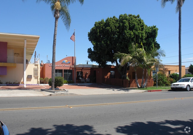
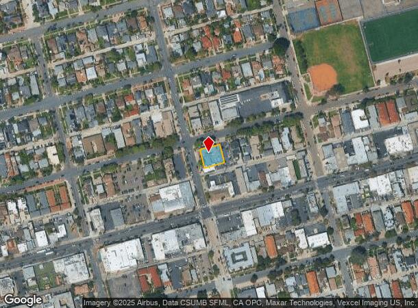
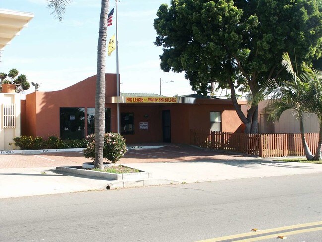
Property Record
4535 Fanuel St, San Diego, CA 92109

NEARBY LISTINGS FOR SALE OR LEASE
Property Detail
4535 Fanuel St
San Diego-Carlsbad, CA
Pacific Beach
423-082-27
PAR 1 TR PM00397
Storesoffices
San Diego
X
California
06073C1611H
1
2024
0.20 AC
2025
PB/Rose Canyon/Morena
007912
San Diego
3,626 SF
DEMOGRAPHICS near 4535 Fanuel St
1 Mile
3 Mile
5 Mile
2024 Total Population
35,750
93,989
279,751
2029 Population
36,144
94,913
280,228
Pop Growth 2024-2029
+ 1.10%
+ 0.98%
+ 0.17%
Average Age
37
41
40
2024 Total Households
18,490
43,154
119,111
HH Growth 2024-2029
+ 1.12%
+ 1.06%
+ 0.20%
Median Household Inc
$100,573
$107,738
$100,589
Avg Household Size
1.90
2.10
2.20
2024 Avg HH Vehicles
2.00
2.00
2.00
Median Home Value
$1,035,998
$1,064,018
$951,828
Median Year Built
1973
1970
1971
Nearby Places
- Restaurants
- Banks
- Shops
- Fitness
- Groceries
PUBLIC TRANSPORTATION
COMMUTER RAIL
Old Town Transit Center (Coaster - San Diego North County Transit District (Coaster/Sprinter/Breeze))
DRIVE
WALK
Distance
Old Town Transit Center (Coaster - San Diego North County Transit District (Coaster/Sprinter/Breeze))
10 min
6.1 mi
San Diego (Santa Fe Depot) (Coaster - San Diego North County Transit District (Coaster/Sprinter/Breeze))
DRIVE
WALK
Distance
San Diego (Santa Fe Depot) (Coaster - San Diego North County Transit District (Coaster/Sprinter/Breeze))
14 min
8.9 mi
AIRPORT
San Diego International
DRIVE
WALK
Distance
San Diego International
12 min
7.5 mi
Freight Ports
Port of San Diego
DRIVE
WALK
Distance
Port of San Diego
18 min
12.0 mi
Nearby Properties
Address
Land Use
TOTAL SIZE
Lot Size
Zoning
Address
Land Use
TOTAL SIZE
Lot Size
Zoning
189.30 AC
M
Address
Land Use
TOTAL SIZE
Lot Size
Zoning
42.78 AC
M
Address
Land Use
TOTAL SIZE
Lot Size
Zoning
11.60 AC
RM-3-7
Address
Land Use
TOTAL SIZE
Lot Size
Zoning
18.33 AC
RS-1-7
Address
Land Use
TOTAL SIZE
Lot Size
Zoning
35.76 AC
RS-1-4
Address
Land Use
TOTAL SIZE
Lot Size
Zoning
283,689 SF
18.02 AC
M
Address
Land Use
TOTAL SIZE
Lot Size
Zoning
5.67 AC
RS-1-7
Address
Land Use
TOTAL SIZE
Lot Size
Zoning
7.04 AC
MBPD-VC-N
Address
Land Use
TOTAL SIZE
Lot Size
Zoning
25.46 AC
IL-3-1
Address
Land Use
TOTAL SIZE
Lot Size
Zoning
1.12 AC
CC-4-2
Address
Land Use
TOTAL SIZE
Lot Size
Zoning
1.56 AC
CC-4-2
Address
Land Use
TOTAL SIZE
Lot Size
Zoning
14.02 AC
IP-2-1
Address
Land Use
TOTAL SIZE
Lot Size
Zoning
7.09 AC
IP-2-1
Address
Land Use
TOTAL SIZE
Lot Size
Zoning
2.56 AC
CC-4-2
Address
Land Use
TOTAL SIZE
Lot Size
Zoning
15.50 AC
RM-4-10
Address
Land Use
TOTAL SIZE
Lot Size
Zoning
12.90 AC
RS-1-7
Address
Land Use
TOTAL SIZE
Lot Size
Zoning
8.56 AC
C
Address
Land Use
TOTAL SIZE
Lot Size
Zoning
22.44 AC
CC-1-3
Address
Land Use
TOTAL SIZE
Lot Size
Zoning
98,561 SF
2.42 AC
RM-2-5
Address
Land Use
TOTAL SIZE
Lot Size
Zoning
74,984 SF
2.75 AC
RM-1-1
Address
Land Use
TOTAL SIZE
Lot Size
Zoning
5.49 AC
CC-4-2
Address
Land Use
TOTAL SIZE
Lot Size
Zoning
41,476 SF
1.40 AC
RM-2-5
Address
Land Use
TOTAL SIZE
Lot Size
Zoning
31,412 SF
3.48 AC
CC-1-3
Address
Land Use
TOTAL SIZE
Lot Size
Zoning
57,686 SF
0.14 AC
CC-4-2
Address
Land Use
TOTAL SIZE
Lot Size
Zoning
56,214 SF
1.78 AC
CV-1-2
Address
Land Use
TOTAL SIZE
Lot Size
Zoning
4.84 AC
RM-3-7
Address
Land Use
TOTAL SIZE
Lot Size
Zoning
4.41 AC
RM-3-7
Address
Land Use
TOTAL SIZE
Lot Size
Zoning
51,360 SF
0.80 AC
CV-1-2
Address
Land Use
TOTAL SIZE
Lot Size
Zoning
55,608 SF
23.99 AC
IP-2-1
Address
Land Use
TOTAL SIZE
Lot Size
Zoning
5,172 SF
3.33 AC
RM-1-1
The World's #1 Commercial Real Estate Marketplace
Connect with us
© 2025 CoStar Group
The information above has been obtained from sources believed reliable. While we do not doubt its accuracy we have not verified it and make no guarantee, warranty or representation about it. It is your responsibility to independently confirm its accuracy and completeness. Any projections, opinions, assumptions, or estimates used are for example only and do not represent the current or future performance of the property. The value of this transaction to you depends on tax and other factors which should be evaluated by your tax, financial, and legal advisors. You and your advisors should conduct a careful, independent investigation of the property to determine to your satisfaction the suitability of the property for your needs.