Property Record
4550 E Cactus Rd, Phoenix, AZ 85032


Property Detail
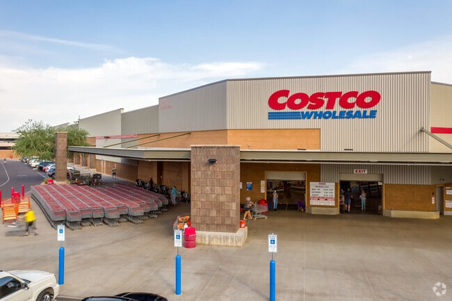
4550 E Cactus Rd
167-25-003L
TH PT SEC 18 DAF COM SE COR SD SEC 18 TH N 01D W 2618.84F TO E4 COR SD SEC TH N 01D W 247.16F TH W 1929.27F TH S 42F POB TH S 32.58F TO CRV TO RGHT RAD 327F ARC 165.33F TH S 86D W 140.74F TH S 02D W 332.45F TH S 33D W 71.86F TH S 02D W 97.18F TH N 87
Regionalshoppingcenterormallwithanchorstore
MARICOPA
C-R
Arizona
C and X Area of minimal flood hazard, usually depicted on FIRMs as above the 500-year flood level.
11.35 AC
2025
North Scottsdale
2025
Phoenix
103303
Phoenix-Mesa-Chandler, AZ
153,236 SF
NEARBY LISTINGS FOR SALE OR LEASE
DEMOGRAPHICS near 4550 E Cactus Rd
1 mile
3 mile
5 mile
2025 Total Population
16,249
106,796
238,291
2030 Population
16,831
110,323
247,874
Pop Growth 2025-2030
+ 3.58%
+ 3.30%
+ 4.02%
Average Age
43
42
42
2025 Total Households
7,857
43,114
100,995
HH Growth 2025-2030
+ 3.91%
+ 3.42%
+ 4.26%
Median Household Inc
$81,952
$100,919
$96,229
Avg Household Size
2.00
2.40
2.30
2025 Avg HH Vehicles
2.00
2.00
2.00
Median Home Value
$527,688
$643,286
$618,475
Median Year Built
1982
1981
1986
Nearby Places
Map Layers
Map Styles
 Street
 Aerial
Transit
 Traffic
 Biking
Places
Listings with unknown addresses are not visible on the map
- Restaurants
- Banks
- Shops
- Fitness
- Groceries
PUBLIC TRANSPORTATION
AIRPORT
Phoenix Sky Harbor International
Drive
Walk
Distance
Phoenix Sky Harbor International
25 min
16.2 mi
Phoenix-Mesa Gateway
Drive
Walk
Distance
Phoenix-Mesa Gateway
56 min
39.2 mi
Freight Ports
Port of San Diego
Drive
Walk
Distance
Port of San Diego
413 min
368.6 mi
Nearby Properties
Address
Land Use
TOTAL SIZE
Lot Size
Zoning
Address
Land Use
TOTAL SIZE
Lot Size
Zoning
17.81 AC
Address
Land Use
TOTAL SIZE
Lot Size
Zoning
128,046 SF
9.97 AC
C2
Address
Land Use
TOTAL SIZE
Lot Size
Zoning
33,244 SF
5.93 AC
C-2
Address
Land Use
TOTAL SIZE
Lot Size
Zoning
4.67 AC
Address
Land Use
TOTAL SIZE
Lot Size
Zoning
9,232 SF
4.07 AC
R-35
Address
Land Use
TOTAL SIZE
Lot Size
Zoning
359,170 SF
37.47 AC
R-14
Address
Land Use
TOTAL SIZE
Lot Size
Zoning
580,563 SF
9 AC
C-T
Address
Land Use
TOTAL SIZE
Lot Size
Zoning
512,499 SF
23.03 AC
R3A
Address
Land Use
TOTAL SIZE
Lot Size
Zoning
323,288 SF
40.56 AC
R1-10
Address
Land Use
TOTAL SIZE
Lot Size
Zoning
482,581 SF
20.45 AC
C-C
Address
Land Use
TOTAL SIZE
Lot Size
Zoning
318,389 SF
37.57 AC
R-14
Address
Land Use
TOTAL SIZE
Lot Size
Zoning
167,532 SF
30 AC
R-14
Address
Land Use
TOTAL SIZE
Lot Size
Zoning
211,239 SF
12.33 AC
M-M
Address
Land Use
TOTAL SIZE
Lot Size
Zoning
422,509 SF
18.50 AC
C-C
Address
Land Use
TOTAL SIZE
Lot Size
Zoning
1.26 AC
Address
Land Use
TOTAL SIZE
Lot Size
Zoning
345,339 SF
17.01 AC
M-H
Address
Land Use
TOTAL SIZE
Lot Size
Zoning
162,334 SF
18.85 AC
R-35
Address
Land Use
TOTAL SIZE
Lot Size
Zoning
415,053 SF
6.29 AC
Address
Land Use
TOTAL SIZE
Lot Size
Zoning
168,217 SF
40 AC
R-14
Address
Land Use
TOTAL SIZE
Lot Size
Zoning
127,252 SF
0.89 AC
C-C
Address
Land Use
TOTAL SIZE
Lot Size
Zoning
305,811 SF
10.44 AC
M-H
Address
Land Use
TOTAL SIZE
Lot Size
Zoning
245,623 SF
5.09 AC
I-P
Address
Land Use
TOTAL SIZE
Lot Size
Zoning
281,018 SF
9.26 AC
M-H
Address
Land Use
TOTAL SIZE
Lot Size
Zoning
14,734 SF
36.71 AC
R110
Address
Land Use
TOTAL SIZE
Lot Size
Zoning
113,611 SF
1.43 AC
C-C
Address
Land Use
TOTAL SIZE
Lot Size
Zoning
115,983 SF
4.85 AC
R-14
Address
Land Use
TOTAL SIZE
Lot Size
Zoning
208,370 SF
19.49 AC
Address
Land Use
TOTAL SIZE
Lot Size
Zoning
135,017 SF
10.42 AC
C-R
Address
Land Use
TOTAL SIZE
Lot Size
Zoning
81,692 SF
8.65 AC
R-10
Address
Land Use
TOTAL SIZE
Lot Size
Zoning
180,205 SF
11.53 AC
C-C
The World's #1 Commercial Real Estate Marketplace
Connect with us
© 2026 CoStar Group
The information above has been obtained from sources believed reliable. While we do not doubt its accuracy we have not verified it and make no guarantee, warranty or representation about it. It is your responsibility to independently confirm its accuracy and completeness. Any projections, opinions, assumptions, or estimates used are for example only and do not represent the current or future performance of the property. The value of this transaction to you depends on tax and other factors which should be evaluated by your tax, financial, and legal advisors. You and your advisors should conduct a careful, independent investigation of the property to determine to your satisfaction the suitability of the property for your needs.