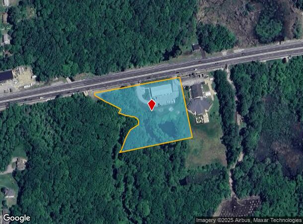
Property Record
458 Worcester Rd, Charlton, MA 01507


NEARBY LISTINGS FOR SALE OR LEASE
Property Detail
458 Worcester Rd
CHAR-000038-C000000-000004
Worcester
Commercialbuilding
Massachusetts
X
4
25027C0793F
3.44 AC
2025
Outlying Worcester
2025
Boston
756102
Worcester, MA
6,000 SF
DEMOGRAPHICS near 458 Worcester Rd
1 mile
3 mile
5 mile
2024 Total Population
897
11,026
36,282
2029 Population
890
10,964
36,127
Pop Growth 2024-2029
(0.78%)
(0.56%)
(0.43%)
Average Age
42
43
43
2024 Total Households
328
4,295
14,158
HH Growth 2024-2029
(0.91%)
(0.56%)
(0.46%)
Median Household Inc
$120,108
$108,145
$107,445
Avg Household Size
2.70
2.50
2.50
2024 Avg HH Vehicles
2.00
2.00
2.00
Median Home Value
$387,018
$363,445
$353,181
Median Year Built
1983
1976
1973
Nearby Places
Map Layers
Map Styles
 Street
 Aerial
Transit
 Traffic
 Biking
Places
Listings with unknown addresses are not visible on the map
- Restaurants
- Banks
- Shops
- Fitness
- Groceries
PUBLIC TRANSPORTATION
AIRPORT
Worcester Regional
Drive
Walk
Distance
Worcester Regional
22 min
11.0 mi
Freight Ports
Port of Davisville, RI
Drive
Walk
Distance
Port of Davisville, RI
84 min
63.8 mi
Nearby Properties
Address
Land Use
TOTAL SIZE
Lot Size
Zoning
Address
Land Use
TOTAL SIZE
Lot Size
Zoning
118,112 SF
6.54 AC
Address
Land Use
TOTAL SIZE
Lot Size
Zoning
167,936 SF
46.89 AC
A
Address
Land Use
TOTAL SIZE
Lot Size
Zoning
15.60 AC
R2
Address
Land Use
TOTAL SIZE
Lot Size
Zoning
198,432 SF
91 AC
A
Address
Land Use
TOTAL SIZE
Lot Size
Zoning
42.81 AC
Address
Land Use
TOTAL SIZE
Lot Size
Zoning
90,414 SF
87.10 AC
A
Address
Land Use
TOTAL SIZE
Lot Size
Zoning
145,401 SF
23.20 AC
GB
Address
Land Use
TOTAL SIZE
Lot Size
Zoning
109,380 SF
27.60 AC
R2
Address
Land Use
TOTAL SIZE
Lot Size
Zoning
118,826 SF
35.73 AC
IP
Address
Land Use
TOTAL SIZE
Lot Size
Zoning
7,000 SF
20.84 AC
I
Address
Land Use
TOTAL SIZE
Lot Size
Zoning
50,065 SF
8.65 AC
R3
Address
Land Use
TOTAL SIZE
Lot Size
Zoning
21,156 SF
29.90 AC
A
Address
Land Use
TOTAL SIZE
Lot Size
Zoning
52,128 SF
9.30 AC
Address
Land Use
TOTAL SIZE
Lot Size
Zoning
3.20 AC
Address
Land Use
TOTAL SIZE
Lot Size
Zoning
76.78 AC
IP
Address
Land Use
TOTAL SIZE
Lot Size
Zoning
2,605 SF
11.15 AC
R1
Address
Land Use
TOTAL SIZE
Lot Size
Zoning
69,192 SF
22.85 AC
I
Address
Land Use
TOTAL SIZE
Lot Size
Zoning
1,500 SF
4.45 AC
GB
Address
Land Use
TOTAL SIZE
Lot Size
Zoning
16,688 SF
6.83 AC
Address
Land Use
TOTAL SIZE
Lot Size
Zoning
112.59 AC
A
Address
Land Use
TOTAL SIZE
Lot Size
Zoning
43.67 AC
A
Address
Land Use
TOTAL SIZE
Lot Size
Zoning
14,478 SF
1.06 AC
R2
Address
Land Use
TOTAL SIZE
Lot Size
Zoning
12,800 SF
CB
Address
Land Use
TOTAL SIZE
Lot Size
Zoning
17,460 SF
4.57 AC
Address
Land Use
TOTAL SIZE
Lot Size
Zoning
13,543 SF
2.83 AC
A
Address
Land Use
TOTAL SIZE
Lot Size
Zoning
3,059 SF
9.46 AC
CB
Address
Land Use
TOTAL SIZE
Lot Size
Zoning
3,000 SF
31.82 AC
R1
Address
Land Use
TOTAL SIZE
Lot Size
Zoning
11.92 AC
I
Address
Land Use
TOTAL SIZE
Lot Size
Zoning
24,200 SF
7.48 AC
I
Address
Land Use
TOTAL SIZE
Lot Size
Zoning
17,890 SF
3.40 AC
The World's #1 Commercial Real Estate Marketplace
Connect with us
© 2026 CoStar Group
The information above has been obtained from sources believed reliable. While we do not doubt its accuracy we have not verified it and make no guarantee, warranty or representation about it. It is your responsibility to independently confirm its accuracy and completeness. Any projections, opinions, assumptions, or estimates used are for example only and do not represent the current or future performance of the property. The value of this transaction to you depends on tax and other factors which should be evaluated by your tax, financial, and legal advisors. You and your advisors should conduct a careful, independent investigation of the property to determine to your satisfaction the suitability of the property for your needs.