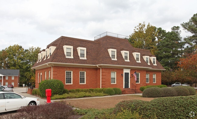
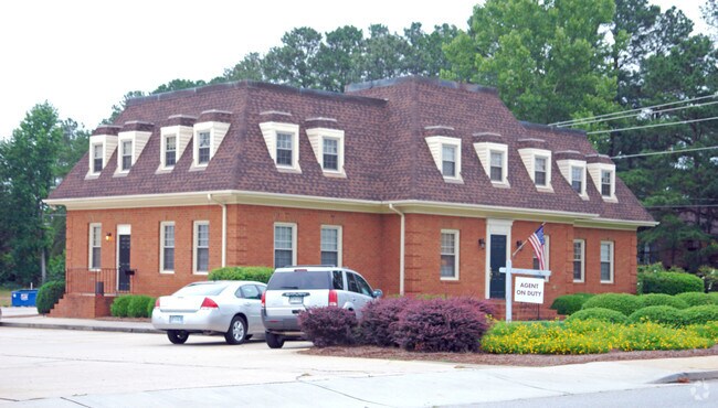
Property Record
459 Saint Andrews Rd, Columbia, SC 29210
NEARBY LISTINGS FOR SALE OR LEASE
Property Detail
459 Saint Andrews Rd
Officebuilding
Lexington
X
South Carolina
45063C0142J
0.49 AC
2025
St Andrews
2024
Columbia
020511
Columbia, SC
4,516 SF
002899-03-022
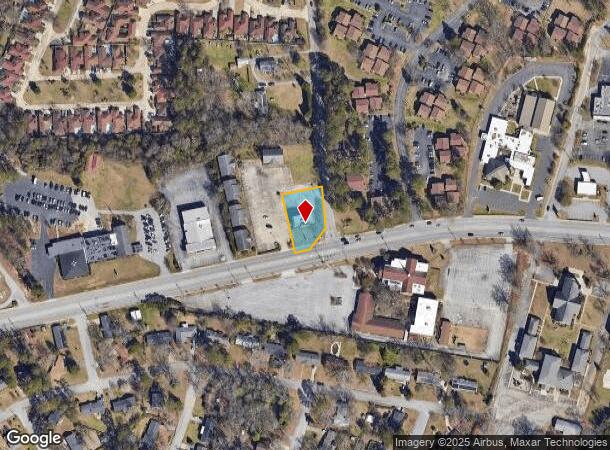
DEMOGRAPHICS near 459 Saint Andrews Rd
1 Mile
3 Mile
5 Mile
2024 Total Population
10,105
52,527
113,675
2029 Population
10,976
55,145
119,829
Pop Growth 2024-2029
+ 8.62%
+ 4.98%
+ 5.41%
Average Age
40
39
39
2024 Total Households
4,500
21,971
48,373
HH Growth 2024-2029
+ 8.87%
+ 5.37%
+ 5.55%
Median Household Inc
$52,982
$50,342
$54,691
Avg Household Size
2.20
2.10
2.20
2024 Avg HH Vehicles
2.00
2.00
2.00
Median Home Value
$166,854
$160,871
$171,175
Median Year Built
1975
1978
1980
Nearby Places
Map Layers
Map Styles
 Street
 Aerial
- Restaurants
- Banks
- Shops
- Fitness
- Groceries
PUBLIC TRANSPORTATION
COMMUTER RAIL
Columbia Amtrak Station (Silver Star - Amtrak)
DRIVE
WALK
Distance
Columbia Amtrak Station (Silver Star - Amtrak)
11 min
7.0 mi
AIRPORT
Columbia Metro
DRIVE
WALK
Distance
Columbia Metro
23 min
11.7 mi
Freight Ports
North Charleston Terminal
DRIVE
WALK
Distance
North Charleston Terminal
123 min
108.0 mi
SALE & LEASE HISTORY
LISTING DATE
SALE/LEASE

May 17, 2022
For Sale
Nearby Properties
Address
Land Use
TOTAL SIZE
Lot Size
Zoning
Address
Land Use
TOTAL SIZE
Lot Size
Zoning
128,160 SF
9.31 AC
RM-HD
Address
Land Use
TOTAL SIZE
Lot Size
Zoning
358,561 SF
42.10 AC
EC
Address
Land Use
TOTAL SIZE
Lot Size
Zoning
128,877 SF
24.71 AC
RM-HD
Address
Land Use
TOTAL SIZE
Lot Size
Zoning
9,620 SF
18.91 AC
GC
Address
Land Use
TOTAL SIZE
Lot Size
Zoning
183,392 SF
14.77 AC
RM-HD
Address
Land Use
TOTAL SIZE
Lot Size
Zoning
302,835 SF
11.48 AC
PD
Address
Land Use
TOTAL SIZE
Lot Size
Zoning
1,549.59 AC
T/C
Address
Land Use
TOTAL SIZE
Lot Size
Zoning
207,112 SF
16.86 AC
RM-HD
Address
Land Use
TOTAL SIZE
Lot Size
Zoning
161,636 SF
12.38 AC
RM-HD
Address
Land Use
TOTAL SIZE
Lot Size
Zoning
208,688 SF
13.02 AC
RM-HD
Address
Land Use
TOTAL SIZE
Lot Size
Zoning
73,380 SF
16.07 AC
PDD
Address
Land Use
TOTAL SIZE
Lot Size
Zoning
2,268 SF
27.70 AC
RM-1
Address
Land Use
TOTAL SIZE
Lot Size
Zoning
129,108 SF
11.90 AC
RM-HD
Address
Land Use
TOTAL SIZE
Lot Size
Zoning
195,550 SF
17.19 AC
GC
Address
Land Use
TOTAL SIZE
Lot Size
Zoning
169,278 SF
12.21 AC
RM-HD
Address
Land Use
TOTAL SIZE
Lot Size
Zoning
153,272 SF
9.63 AC
RM-HD
Address
Land Use
TOTAL SIZE
Lot Size
Zoning
100 SF
465.41 AC
INS-GEN
Address
Land Use
TOTAL SIZE
Lot Size
Zoning
192,966 SF
13.23 AC
RM-HD
Address
Land Use
TOTAL SIZE
Lot Size
Zoning
204,968 SF
17.39 AC
RM-HD
Address
Land Use
TOTAL SIZE
Lot Size
Zoning
178,000 SF
11.71 AC
RM-1
Address
Land Use
TOTAL SIZE
Lot Size
Zoning
159,139 SF
16.95 AC
GC
Address
Land Use
TOTAL SIZE
Lot Size
Zoning
146,254 SF
12.12 AC
PD
Address
Land Use
TOTAL SIZE
Lot Size
Zoning
89,376 SF
6.85 AC
CAC
Address
Land Use
TOTAL SIZE
Lot Size
Zoning
126,596 SF
10.84 AC
PD
Address
Land Use
TOTAL SIZE
Lot Size
Zoning
87,200 SF
7 AC
PDD
Address
Land Use
TOTAL SIZE
Lot Size
Zoning
187,298 SF
9.11 AC
PD
Address
Land Use
TOTAL SIZE
Lot Size
Zoning
136,641 SF
9 AC
PDD
Address
Land Use
TOTAL SIZE
Lot Size
Zoning
307,287 SF
22.18 AC
RM-HD
Address
Land Use
TOTAL SIZE
Lot Size
Zoning
44,296 SF
14.01 AC
GC
Address
Land Use
TOTAL SIZE
Lot Size
Zoning
147,408 SF
17.49 AC
M-1
The World's #1 Commercial Real Estate Marketplace
Connect with us
© 2025 CoStar Group
The information above has been obtained from sources believed reliable. While we do not doubt its accuracy we have not verified it and make no guarantee, warranty or representation about it. It is your responsibility to independently confirm its accuracy and completeness. Any projections, opinions, assumptions, or estimates used are for example only and do not represent the current or future performance of the property. The value of this transaction to you depends on tax and other factors which should be evaluated by your tax, financial, and legal advisors. You and your advisors should conduct a careful, independent investigation of the property to determine to your satisfaction the suitability of the property for your needs.