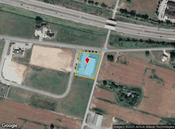
Property Record
4598 Lucky Strike Loop, Owensboro, KY 42303

NEARBY LISTINGS FOR SALE OR LEASE
Property Detail
4598 Lucky Strike Loop
003-12-35-017-00-000
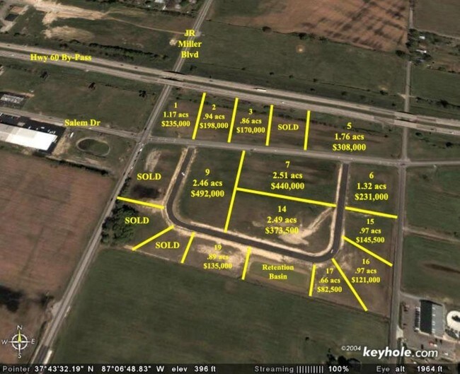
Salem Drive Dev
Commercialnec
3-12-35-174598 LUCKY STRIKE LP3.92 ACRES
AE
Daviess
21059C0276E
Kentucky
2025
1.32 AC
2025
Kentucky West Area
001702
Other Market Areas
2,939 SF
Owensboro, KY
DEMOGRAPHICS near 4598 Lucky Strike Loop
1 Mile
3 Mile
5 Mile
2024 Total Population
3,489
44,431
73,287
2029 Population
3,516
44,586
73,552
Pop Growth 2024-2029
+ 0.77%
+ 0.35%
+ 0.36%
Average Age
41
40
40
2024 Total Households
1,478
18,937
30,051
HH Growth 2024-2029
+ 0.74%
+ 0.36%
+ 0.37%
Median Household Inc
$55,938
$56,149
$54,798
Avg Household Size
2.30
2.30
2.30
2024 Avg HH Vehicles
2.00
2.00
2.00
Median Home Value
$126,740
$161,145
$159,424
Median Year Built
1974
1971
1973
Nearby Places
Map Layers
Map Styles
 Street
 Aerial
- Restaurants
- Banks
- Shops
- Fitness
- Groceries
SALE & LEASE HISTORY
LISTING DATE
SALE/LEASE

Sep 01, 2017
For Sale
Nearby Properties
Address
Land Use
TOTAL SIZE
Lot Size
Zoning
Address
Land Use
TOTAL SIZE
Lot Size
Zoning
450,235 SF
24.61 AC
Address
Land Use
TOTAL SIZE
Lot Size
Zoning
184,854 SF
9.46 AC
Address
Land Use
TOTAL SIZE
Lot Size
Zoning
270,464 SF
100.67 AC
Address
Land Use
TOTAL SIZE
Lot Size
Zoning
198,394 SF
49.52 AC
Address
Land Use
TOTAL SIZE
Lot Size
Zoning
371,705 SF
57.02 AC
Address
Land Use
TOTAL SIZE
Lot Size
Zoning
424,078 SF
43.02 AC
Address
Land Use
TOTAL SIZE
Lot Size
Zoning
28,032 SF
18.13 AC
Address
Land Use
TOTAL SIZE
Lot Size
Zoning
227,450 SF
30.70 AC
Address
Land Use
TOTAL SIZE
Lot Size
Zoning
187,364 SF
18.64 AC
Address
Land Use
TOTAL SIZE
Lot Size
Zoning
29,600 SF
3.38 AC
Address
Land Use
TOTAL SIZE
Lot Size
Zoning
165,207 SF
15.76 AC
Address
Land Use
TOTAL SIZE
Lot Size
Zoning
Address
Land Use
TOTAL SIZE
Lot Size
Zoning
9,725 SF
22.36 AC
Address
Land Use
TOTAL SIZE
Lot Size
Zoning
215,439 SF
15.02 AC
Address
Land Use
TOTAL SIZE
Lot Size
Zoning
53,280 SF
Address
Land Use
TOTAL SIZE
Lot Size
Zoning
326,232 SF
29.64 AC
Address
Land Use
TOTAL SIZE
Lot Size
Zoning
67,431 SF
3.53 AC
Address
Land Use
TOTAL SIZE
Lot Size
Zoning
122,450 SF
7.63 AC
Address
Land Use
TOTAL SIZE
Lot Size
Zoning
193,067 SF
19.80 AC
Address
Land Use
TOTAL SIZE
Lot Size
Zoning
207,292 SF
17.74 AC
Address
Land Use
TOTAL SIZE
Lot Size
Zoning
155,700 SF
7.78 AC
Address
Land Use
TOTAL SIZE
Lot Size
Zoning
85,349 SF
9.23 AC
Address
Land Use
TOTAL SIZE
Lot Size
Zoning
82,396 SF
28.50 AC
Address
Land Use
TOTAL SIZE
Lot Size
Zoning
4.35 AC
Address
Land Use
TOTAL SIZE
Lot Size
Zoning
24.58 AC
Address
Land Use
TOTAL SIZE
Lot Size
Zoning
212,423 SF
Address
Land Use
TOTAL SIZE
Lot Size
Zoning
116,601 SF
15.72 AC
Address
Land Use
TOTAL SIZE
Lot Size
Zoning
44,887 SF
4.31 AC
Address
Land Use
TOTAL SIZE
Lot Size
Zoning
17,920 SF
10.60 AC
Address
Land Use
TOTAL SIZE
Lot Size
Zoning
125,000 SF
20.10 AC
The World's #1 Commercial Real Estate Marketplace
Connect with us
© 2026 CoStar Group
The information above has been obtained from sources believed reliable. While we do not doubt its accuracy we have not verified it and make no guarantee, warranty or representation about it. It is your responsibility to independently confirm its accuracy and completeness. Any projections, opinions, assumptions, or estimates used are for example only and do not represent the current or future performance of the property. The value of this transaction to you depends on tax and other factors which should be evaluated by your tax, financial, and legal advisors. You and your advisors should conduct a careful, independent investigation of the property to determine to your satisfaction the suitability of the property for your needs.