Property Record
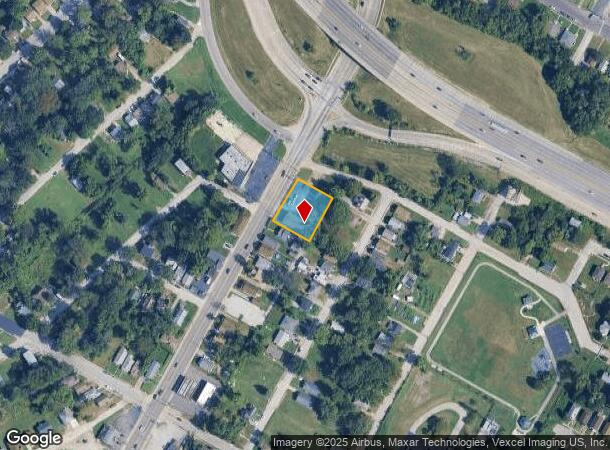
4600 Jennings Station Rd, Saint Louis, MO 63121

NEARBY LISTINGS FOR SALE OR LEASE
Property Detail
4600 Jennings Station Rd
St. Louis, MO-IL
Mcdermotts Kenawah Park
15G-53-1462
MCDERMOTTS KENAWAH PARK LOTS 62 THRU 67
Motel
St. Louis
X
Missouri
29189C0209K
62-67
2024
0.43 AC
2025
Northwest County
212202
St. Louis
12,248 SF
DEMOGRAPHICS near 4600 Jennings Station Rd
1 Mile
3 Mile
5 Mile
2024 Total Population
15,542
111,760
281,608
2029 Population
15,756
111,816
279,077
Pop Growth 2024-2029
+ 1.38%
+ 0.05%
(0.90%)
Average Age
41
40
39
2024 Total Households
6,284
47,348
120,133
HH Growth 2024-2029
+ 1.40%
+ 0.02%
(1.11%)
Median Household Inc
$32,652
$34,118
$41,191
Avg Household Size
2.30
2.30
2.20
2024 Avg HH Vehicles
1.00
1.00
1.00
Median Home Value
$58,613
$70,583
$95,102
Median Year Built
1950
1951
1952
Nearby Places
Map Layers
Map Styles
 Street
 Aerial
- Restaurants
- Banks
- Shops
- Fitness
- Groceries
PUBLIC TRANSPORTATION
COMMUTER RAIL
UM St. Louis South (Lambert Airport Shiloh-Scott - St. Louis MetroLink (MetroLink))
DRIVE
WALK
Distance
UM St. Louis South (Lambert Airport Shiloh-Scott - St. Louis MetroLink (MetroLink))
6 min
2.9 mi
Wellston (Lambert Airport Shiloh-Scott - St. Louis MetroLink (MetroLink))
DRIVE
WALK
Distance
Wellston (Lambert Airport Shiloh-Scott - St. Louis MetroLink (MetroLink))
6 min
3.0 mi
AIRPORT
St Louis Lambert International
DRIVE
WALK
Distance
St Louis Lambert International
11 min
6.6 mi
Scott AFB/Midamerica St Louis
DRIVE
WALK
Distance
Scott AFB/Midamerica St Louis
47 min
31.7 mi
Nearby Properties
Address
Land Use
TOTAL SIZE
Lot Size
Zoning
Address
Land Use
TOTAL SIZE
Lot Size
Zoning
Address
Land Use
TOTAL SIZE
Lot Size
Zoning
124.96 AC
J
Address
Land Use
TOTAL SIZE
Lot Size
Zoning
72,612 SF
118.34 AC
3INSTU
Address
Land Use
TOTAL SIZE
Lot Size
Zoning
348,233 SF
23.68 AC
Address
Land Use
TOTAL SIZE
Lot Size
Zoning
231,336 SF
18.88 AC
7M-2
Address
Land Use
TOTAL SIZE
Lot Size
Zoning
46.18 AC
A
Address
Land Use
TOTAL SIZE
Lot Size
Zoning
18.32 AC
PA
Address
Land Use
TOTAL SIZE
Lot Size
Zoning
151,640 SF
5.38 AC
D
Address
Land Use
TOTAL SIZE
Lot Size
Zoning
0.73 AC
B
Address
Land Use
TOTAL SIZE
Lot Size
Zoning
460,170 SF
152.70 AC
22M-1
Address
Land Use
TOTAL SIZE
Lot Size
Zoning
5,640 SF
10.42 AC
A
Address
Land Use
TOTAL SIZE
Lot Size
Zoning
226,000 SF
34.48 AC
7M-2
Address
Land Use
TOTAL SIZE
Lot Size
Zoning
19.94 AC
39SFR
Address
Land Use
TOTAL SIZE
Lot Size
Zoning
15,149 SF
120.85 AC
A
Address
Land Use
TOTAL SIZE
Lot Size
Zoning
51,460 SF
101.96 AC
K
Address
Land Use
TOTAL SIZE
Lot Size
Zoning
229.57 AC
A
Address
Land Use
TOTAL SIZE
Lot Size
Zoning
27.96 AC
NU
Address
Land Use
TOTAL SIZE
Lot Size
Zoning
675 SF
20.38 AC
R5
Address
Land Use
TOTAL SIZE
Lot Size
Zoning
15.59 AC
R4
Address
Land Use
TOTAL SIZE
Lot Size
Zoning
448,714 SF
34.05 AC
22M-1
Address
Land Use
TOTAL SIZE
Lot Size
Zoning
30.99 AC
39MULTI
Address
Land Use
TOTAL SIZE
Lot Size
Zoning
108,753 SF
18.44 AC
31C-3
Address
Land Use
TOTAL SIZE
Lot Size
Zoning
218,234 SF
14.53 AC
7M-2
Address
Land Use
TOTAL SIZE
Lot Size
Zoning
14,150 SF
20 AC
39SFR
Address
Land Use
TOTAL SIZE
Lot Size
Zoning
12.98 AC
22R-1D
Address
Land Use
TOTAL SIZE
Lot Size
Zoning
4.07 AC
31R-1
Address
Land Use
TOTAL SIZE
Lot Size
Zoning
38.62 AC
AF
Address
Land Use
TOTAL SIZE
Lot Size
Zoning
20.34 AC
NU
Address
Land Use
TOTAL SIZE
Lot Size
Zoning
9.66 AC
4R-1
Address
Land Use
TOTAL SIZE
Lot Size
Zoning
471,077 SF
16.09 AC
K
The World's #1 Commercial Real Estate Marketplace
Connect with us
© 2025 CoStar Group
The information above has been obtained from sources believed reliable. While we do not doubt its accuracy we have not verified it and make no guarantee, warranty or representation about it. It is your responsibility to independently confirm its accuracy and completeness. Any projections, opinions, assumptions, or estimates used are for example only and do not represent the current or future performance of the property. The value of this transaction to you depends on tax and other factors which should be evaluated by your tax, financial, and legal advisors. You and your advisors should conduct a careful, independent investigation of the property to determine to your satisfaction the suitability of the property for your needs.