Property Record
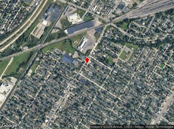
4611 Allen Rd, Allen Park, MI 48101


NEARBY LISTINGS FOR SALE OR LEASE
Property Detail
4611 Allen Rd
Detroit-Warren-Dearborn, MI
Dasher Estates
30-009-06-0262-001
01E262A ELY 83 FT OF LOT 262 DASHER ESTATES SUB T3S R10E L52 P13 WCR
Storebuilding
Wayne
X
Michigan
26163C0264E
262
2024
0.04 AC
2025
Downriver North
576100
Detroit
920 SF
DEMOGRAPHICS near 4611 Allen Rd
1 Mile
3 Mile
5 Mile
2024 Total Population
13,977
113,201
282,190
2029 Population
13,389
108,906
271,416
Pop Growth 2024-2029
(4.21%)
(3.79%)
(3.82%)
Average Age
39
39
39
2024 Total Households
5,536
44,758
108,441
HH Growth 2024-2029
(4.26%)
(3.80%)
(3.80%)
Median Household Inc
$54,587
$56,866
$56,834
Avg Household Size
2.50
2.50
2.50
2024 Avg HH Vehicles
2.00
2.00
2.00
Median Home Value
$121,913
$132,291
$142,876
Median Year Built
1953
1954
1954
Nearby Places
Map Layers
Map Styles
 Street
 Aerial
- Restaurants
- Banks
- Shops
- Fitness
- Groceries
PUBLIC TRANSPORTATION
COMMUTER RAIL
DRIVE
WALK
Distance
11 min
4.7 mi
AIRPORT
Detroit Metro Wayne County
DRIVE
WALK
Distance
Detroit Metro Wayne County
23 min
12.7 mi
Windsor International
DRIVE
WALK
Distance
Windsor International
36 min
19.2 mi
Freight Ports
DRIVE
WALK
Distance
66 min
52.0 mi
Nearby Properties
Address
Land Use
TOTAL SIZE
Lot Size
Zoning
Address
Land Use
TOTAL SIZE
Lot Size
Zoning
590,116 SF
388.80 AC
ID
Address
Land Use
TOTAL SIZE
Lot Size
Zoning
373,209 SF
349 AC
IC
Address
Land Use
TOTAL SIZE
Lot Size
Zoning
675,440 SF
66.32 AC
IB
Address
Land Use
TOTAL SIZE
Lot Size
Zoning
1,209,711 SF
69.44 AC
IB
Address
Land Use
TOTAL SIZE
Lot Size
Zoning
590,893 SF
51.81 AC
IB
Address
Land Use
TOTAL SIZE
Lot Size
Zoning
229,368 SF
1 AC
C 6A
Address
Land Use
TOTAL SIZE
Lot Size
Zoning
304,206 SF
29.53 AC
RC
Address
Land Use
TOTAL SIZE
Lot Size
Zoning
357,640 SF
13.89 AC
C 6C
Address
Land Use
TOTAL SIZE
Lot Size
Zoning
349,045 SF
40.28 AC
IB
Address
Land Use
TOTAL SIZE
Lot Size
Zoning
135,775 SF
18.39 AC
BC
Address
Land Use
TOTAL SIZE
Lot Size
Zoning
492,289 SF
34.84 AC
RM-1
Address
Land Use
TOTAL SIZE
Lot Size
Zoning
108,960 SF
5.23 AC
OS
Address
Land Use
TOTAL SIZE
Lot Size
Zoning
678,368 SF
48.99 AC
RD RESEARC
Address
Land Use
TOTAL SIZE
Lot Size
Zoning
219,434 SF
23.91 AC
BC
Address
Land Use
TOTAL SIZE
Lot Size
Zoning
198,237 SF
11.07 AC
RE
Address
Land Use
TOTAL SIZE
Lot Size
Zoning
Address
Land Use
TOTAL SIZE
Lot Size
Zoning
107,772 SF
8 AC
BC
Address
Land Use
TOTAL SIZE
Lot Size
Zoning
32,608 SF
46.51 AC
BC
Address
Land Use
TOTAL SIZE
Lot Size
Zoning
77,974 SF
1 AC
C 6A
Address
Land Use
TOTAL SIZE
Lot Size
Zoning
205,632 SF
1 AC
C 6A
Address
Land Use
TOTAL SIZE
Lot Size
Zoning
169,200 SF
19.92 AC
RD RESEARC
Address
Land Use
TOTAL SIZE
Lot Size
Zoning
637,176 SF
39.11 AC
C 6C
Address
Land Use
TOTAL SIZE
Lot Size
Zoning
196,801 SF
38.32 AC
M5
Address
Land Use
TOTAL SIZE
Lot Size
Zoning
153,668 SF
9.16 AC
RD
Address
Land Use
TOTAL SIZE
Lot Size
Zoning
111,402 SF
3.17 AC
Address
Land Use
TOTAL SIZE
Lot Size
Zoning
674,676 SF
17.30 AC
IB
Address
Land Use
TOTAL SIZE
Lot Size
Zoning
182,840 SF
11.70 AC
C 6C
Address
Land Use
TOTAL SIZE
Lot Size
Zoning
415,606 SF
18.75 AC
I-1
Address
Land Use
TOTAL SIZE
Lot Size
Zoning
193,650 SF
18.39 AC
Address
Land Use
TOTAL SIZE
Lot Size
Zoning
98,356 SF
7.83 AC
B-2
The World's #1 Commercial Real Estate Marketplace
Connect with us
© 2025 CoStar Group
The information above has been obtained from sources believed reliable. While we do not doubt its accuracy we have not verified it and make no guarantee, warranty or representation about it. It is your responsibility to independently confirm its accuracy and completeness. Any projections, opinions, assumptions, or estimates used are for example only and do not represent the current or future performance of the property. The value of this transaction to you depends on tax and other factors which should be evaluated by your tax, financial, and legal advisors. You and your advisors should conduct a careful, independent investigation of the property to determine to your satisfaction the suitability of the property for your needs.