Property Record
4601 N Milwaukee Ave, Chicago, IL 60630

NEARBY LISTINGS FOR SALE OR LEASE
Property Detail
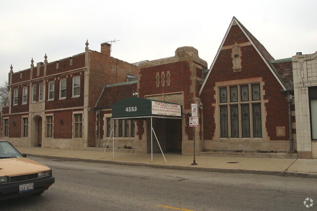
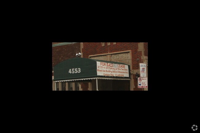
4601 N Milwaukee Ave
Chicago-Naperville-Elgin, IL-IN-WI
Sunnyside Add/Jefferson Park
13-16-208-021-0000
Cook
Commercialnec
Illinois
X
12-15
17031C0385J
0.15 AC
2023
Northwest City
2025
Chicago
110502
DEMOGRAPHICS near 4601 N Milwaukee Ave
1 Mile
3 Mile
5 Mile
2024 Total Population
35,993
326,812
896,261
2029 Population
33,841
307,791
851,405
Pop Growth 2024-2029
(5.98%)
(5.82%)
(5.00%)
Average Age
40
40
39
2024 Total Households
14,238
118,659
341,554
HH Growth 2024-2029
(6.31%)
(6.15%)
(5.27%)
Median Household Inc
$79,554
$77,033
$78,614
Avg Household Size
2.50
2.60
2.50
2024 Avg HH Vehicles
2.00
2.00
1.00
Median Home Value
$351,509
$351,979
$361,174
Median Year Built
1947
1948
1948
Nearby Places
Map Layers
Map Styles
 Street
 Aerial
- Restaurants
- Banks
- Shops
- Fitness
- Groceries
PUBLIC TRANSPORTATION
TRANSIT/SUBWAY
Jefferson Park Station (Blue Line - Chicago Transit Authority "L" Trains (The "L"))
DRIVE
WALK
Distance
Jefferson Park Station (Blue Line - Chicago Transit Authority "L" Trains (The "L"))
2 min
11 min
0.6 mi
Montrose Station (Blue Line) (Blue Line - Chicago Transit Authority "L" Trains (The "L"))
DRIVE
WALK
Distance
Montrose Station (Blue Line) (Blue Line - Chicago Transit Authority "L" Trains (The "L"))
4 min
18 min
1.0 mi
COMMUTER RAIL
Jefferson Park Station (Union Pacific Northwest Line - Northeast Illinois Regional Commuter Railroad (Metra))
DRIVE
WALK
Distance
Jefferson Park Station (Union Pacific Northwest Line - Northeast Illinois Regional Commuter Railroad (Metra))
3 min
12 min
0.6 mi
Mayfair Station (Milwaukee District North Line - Northeast Illinois Regional Commuter Railroad (Metra))
DRIVE
WALK
Distance
Mayfair Station (Milwaukee District North Line - Northeast Illinois Regional Commuter Railroad (Metra))
2 min
14 min
0.8 mi
AIRPORT
Chicago O'Hare International
DRIVE
WALK
Distance
Chicago O'Hare International
15 min
8.6 mi
Chicago Midway International
DRIVE
WALK
Distance
Chicago Midway International
25 min
13.0 mi
Freight Ports
Port Milwaukee
DRIVE
WALK
Distance
Port Milwaukee
95 min
78.2 mi
Nearby Properties
Address
Land Use
TOTAL SIZE
Lot Size
Zoning
Address
Land Use
TOTAL SIZE
Lot Size
Zoning
Address
Land Use
TOTAL SIZE
Lot Size
Zoning
9.90 AC
Address
Land Use
TOTAL SIZE
Lot Size
Zoning
192,365 SF
21.34 AC
PD 127
Address
Land Use
TOTAL SIZE
Lot Size
Zoning
21.56 AC
RS-2
Address
Land Use
TOTAL SIZE
Lot Size
Zoning
PD 184
Address
Land Use
TOTAL SIZE
Lot Size
Zoning
237,832 SF
14.04 AC
PD 418
Address
Land Use
TOTAL SIZE
Lot Size
Zoning
1.04 AC
PD 130
Address
Land Use
TOTAL SIZE
Lot Size
Zoning
9.38 AC
PD 1179,PO
Address
Land Use
TOTAL SIZE
Lot Size
Zoning
139.71 AC
PD 184
Address
Land Use
TOTAL SIZE
Lot Size
Zoning
15,600 SF
0.77 AC
M1-1
Address
Land Use
TOTAL SIZE
Lot Size
Zoning
100,900 SF
4.85 AC
PD 1415
Address
Land Use
TOTAL SIZE
Lot Size
Zoning
67,588 SF
2.50 AC
PD 415
Address
Land Use
TOTAL SIZE
Lot Size
Zoning
43,750 SF
1.19 AC
B1-1
Address
Land Use
TOTAL SIZE
Lot Size
Zoning
83,288 SF
13.43 AC
RT-4
Address
Land Use
TOTAL SIZE
Lot Size
Zoning
95,614 SF
4.20 AC
Address
Land Use
TOTAL SIZE
Lot Size
Zoning
78,410 SF
4.87 AC
PD 171
Address
Land Use
TOTAL SIZE
Lot Size
Zoning
0.43 AC
RS-2
Address
Land Use
TOTAL SIZE
Lot Size
Zoning
141,095 SF
9.15 AC
PD 127
Address
Land Use
TOTAL SIZE
Lot Size
Zoning
Address
Land Use
TOTAL SIZE
Lot Size
Zoning
130,310 SF
0.82 AC
PD 1371
Address
Land Use
TOTAL SIZE
Lot Size
Zoning
65,243 SF
3.70 AC
Address
Land Use
TOTAL SIZE
Lot Size
Zoning
92,380 SF
7.28 AC
RS-2
Address
Land Use
TOTAL SIZE
Lot Size
Zoning
65,800 SF
0.90 AC
PD 1376
Address
Land Use
TOTAL SIZE
Lot Size
Zoning
197,709 SF
2.41 AC
Address
Land Use
TOTAL SIZE
Lot Size
Zoning
165,574 SF
3.91 AC
Address
Land Use
TOTAL SIZE
Lot Size
Zoning
135.37 AC
Address
Land Use
TOTAL SIZE
Lot Size
Zoning
158,000 SF
4.19 AC
M1-1
Address
Land Use
TOTAL SIZE
Lot Size
Zoning
70,345 SF
5.09 AC
Address
Land Use
TOTAL SIZE
Lot Size
Zoning
306,872 SF
3.61 AC
PD 617
Address
Land Use
TOTAL SIZE
Lot Size
Zoning
36,800 SF
1.01 AC
C2-1
The World's #1 Commercial Real Estate Marketplace
Connect with us
© 2026 CoStar Group
The information above has been obtained from sources believed reliable. While we do not doubt its accuracy we have not verified it and make no guarantee, warranty or representation about it. It is your responsibility to independently confirm its accuracy and completeness. Any projections, opinions, assumptions, or estimates used are for example only and do not represent the current or future performance of the property. The value of this transaction to you depends on tax and other factors which should be evaluated by your tax, financial, and legal advisors. You and your advisors should conduct a careful, independent investigation of the property to determine to your satisfaction the suitability of the property for your needs.