Property Record
462 John Ringling Blvd, Sarasota, FL 34236


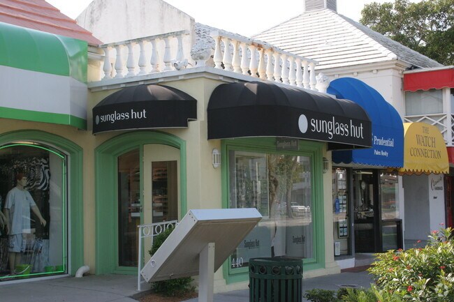
Property Detail
462 John Ringling Blvd
2014-05-0092
LOTS 7, 8 AND A PORTION OF LOTS 9 & 10, BLK 13, ST ARMANDS DIVISION OF JOHN RINGLING ESTATES, BEING SAME LANDS AS DESC AS PARCELS 1 & 2 IN ORI 2006199204
Communitycenter
SARASOTA
CT
Florida
AE The base floodplain where base flood elevations are provided. AE Zones are now used on new format FIRMs instead of A1-A30 Zones.
7-10
2024
0.28 AC
2025
Sarasota
000700
Tampa/St Petersburg
14,668 SF
North Port-Bradenton-Sarasota, FL
NEARBY LISTINGS FOR SALE OR LEASE
DEMOGRAPHICS near 462 John Ringling Blvd
1 mile
3 mile
5 mile
2025 Total Population
3,422
28,974
102,361
2030 Population
3,860
32,025
110,887
Pop Growth 2025-2030
+ 12.80%
+ 10.53%
+ 8.33%
Average Age
68
58
50
2025 Total Households
1,780
15,508
48,108
HH Growth 2025-2030
+ 13.43%
+ 10.68%
+ 8.69%
Median Household Inc
$158,943
$109,593
$80,325
Avg Household Size
1.70
1.80
2.00
2025 Avg HH Vehicles
2.00
1.00
2.00
Median Home Value
$1,051,112
$1,042,837
$697,468
Median Year Built
1972
1986
1977
Nearby Places
Map Layers
Map Styles
 Street
 Aerial
Layers
 Traffic
 Biking
Places
Listings with unknown addresses are not visible on the map
- Restaurants
- Banks
- Shops
- Fitness
- Groceries
PUBLIC TRANSPORTATION
AIRPORT
Sarasota/Bradenton International
Drive
Walk
Distance
Sarasota/Bradenton International
15 min
6.8 mi
Freight Ports
Port Manatee
Drive
Walk
Distance
Port Manatee
45 min
26.6 mi
Nearby Properties
Address
Land Use
TOTAL SIZE
Lot Size
Zoning
Address
Land Use
TOTAL SIZE
Lot Size
Zoning
2,010,667 SF
14.38 AC
SMH
Address
Land Use
TOTAL SIZE
Lot Size
Zoning
843,350 SF
5.13 AC
DTC
Address
Land Use
TOTAL SIZE
Lot Size
Zoning
124,840 SF
29.18 AC
G
Address
Land Use
TOTAL SIZE
Lot Size
Zoning
516,332 SF
7.62 AC
DTB
Address
Land Use
TOTAL SIZE
Lot Size
Zoning
595,734 SF
1.63 AC
DTB
Address
Land Use
TOTAL SIZE
Lot Size
Zoning
595,368 SF
13.76 AC
MCI
Address
Land Use
TOTAL SIZE
Lot Size
Zoning
458,955 SF
3.99 AC
DTE
Address
Land Use
TOTAL SIZE
Lot Size
Zoning
409,998 SF
1.09 AC
DTC
Address
Land Use
TOTAL SIZE
Lot Size
Zoning
950 SF
26.80 AC
G
Address
Land Use
TOTAL SIZE
Lot Size
Zoning
394,304 SF
2.85 AC
DTE
Address
Land Use
TOTAL SIZE
Lot Size
Zoning
425,532 SF
3.05 AC
DTE
Address
Land Use
TOTAL SIZE
Lot Size
Zoning
253,844 SF
4.09 AC
WFR
Address
Land Use
TOTAL SIZE
Lot Size
Zoning
60.62 AC
G
Address
Land Use
TOTAL SIZE
Lot Size
Zoning
463,072 SF
2.21 AC
DTC
Address
Land Use
TOTAL SIZE
Lot Size
Zoning
1.70 AC
DTB
Address
Land Use
TOTAL SIZE
Lot Size
Zoning
321,015 SF
1.11 AC
DTB
Address
Land Use
TOTAL SIZE
Lot Size
Zoning
91,324 SF
2.18 AC
SMH
Address
Land Use
TOTAL SIZE
Lot Size
Zoning
146,948 SF
1.08 AC
SMH
Address
Land Use
TOTAL SIZE
Lot Size
Zoning
199,653 SF
0.38 AC
DTC
Address
Land Use
TOTAL SIZE
Lot Size
Zoning
2,900 SF
152 AC
G
Address
Land Use
TOTAL SIZE
Lot Size
Zoning
133,389 SF
6.14 AC
WFR
Address
Land Use
TOTAL SIZE
Lot Size
Zoning
252,254 SF
0.98 AC
DTB
Address
Land Use
TOTAL SIZE
Lot Size
Zoning
196,633 SF
14.73 AC
BG
Address
Land Use
TOTAL SIZE
Lot Size
Zoning
26,202 SF
1.21 AC
G
Address
Land Use
TOTAL SIZE
Lot Size
Zoning
532,515 SF
1.65 AC
DTC
Address
Land Use
TOTAL SIZE
Lot Size
Zoning
17,718 SF
3.91 AC
WFR
Address
Land Use
TOTAL SIZE
Lot Size
Zoning
151,814 SF
10.89 AC
CSCC
Address
Land Use
TOTAL SIZE
Lot Size
Zoning
257,614 SF
0.36 AC
DTB
Address
Land Use
TOTAL SIZE
Lot Size
Zoning
71,744 SF
2.30 AC
DTC
Address
Land Use
TOTAL SIZE
Lot Size
Zoning
262,739 SF
3.56 AC
DTB
The World's #1 Commercial Real Estate Marketplace
Connect with us
© 2026 CoStar Group
The information above has been obtained from sources believed reliable. While we do not doubt its accuracy we have not verified it and make no guarantee, warranty or representation about it. It is your responsibility to independently confirm its accuracy and completeness. Any projections, opinions, assumptions, or estimates used are for example only and do not represent the current or future performance of the property. The value of this transaction to you depends on tax and other factors which should be evaluated by your tax, financial, and legal advisors. You and your advisors should conduct a careful, independent investigation of the property to determine to your satisfaction the suitability of the property for your needs.