Property Record
4620 Antelope Ridge Dr, Colorado Springs, CO 80922

NEARBY LISTINGS FOR SALE OR LEASE
-
-
-
-
-
NEC E. Woodmen Rd. & Marksheffel rd
Colorado Springs, CO 80908
$1,050,000 - $3,550,000
1.28 - 3.13 AC Lot
Land
-
-
-
View all Colorado Springs listings for sale on LoopNet.com
Property Detail
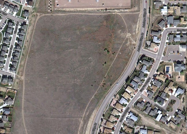
4620 Antelope Ridge Dr
Colorado Springs, CO
Whispering Springs Fil No 1
53204-15-087
LOT 46 WHISPERING SPRINGS FIL NO 1
Taxexempt
El Paso
X
Colorado
08041C0539G
46
0
12.67 AC
2025
Northeast
005116
Colorado Springs
126,756 SF
DEMOGRAPHICS near 4620 Antelope Ridge Dr
1 Mile
3 Mile
5 Mile
2024 Total Population
13,491
90,437
198,684
2029 Population
13,988
94,520
207,793
Pop Growth 2024-2029
+ 3.68%
+ 4.51%
+ 4.58%
Average Age
37
36
37
2024 Total Households
4,707
32,737
74,057
HH Growth 2024-2029
+ 3.95%
+ 4.63%
+ 4.74%
Median Household Inc
$97,681
$92,745
$86,291
Avg Household Size
2.80
2.70
2.60
2024 Avg HH Vehicles
2.00
2.00
2.00
Median Home Value
$359,526
$372,146
$377,797
Median Year Built
2004
2001
1994
Nearby Places
Map Layers
Map Styles
 Street
 Aerial
- Restaurants
- Banks
- Shops
- Fitness
- Groceries
PUBLIC TRANSPORTATION
AIRPORT
City of Colorado Springs Municipal
DRIVE
WALK
Distance
City of Colorado Springs Municipal
16 min
7.5 mi
Freight Ports
Tulsa Port Of Catoosa
DRIVE
WALK
Distance
Tulsa Port Of Catoosa
729 min
686.2 mi
Nearby Properties
Address
Land Use
TOTAL SIZE
Lot Size
Zoning
Address
Land Use
TOTAL SIZE
Lot Size
Zoning
32,792 SF
7 AC
MX-M AO
Address
Land Use
TOTAL SIZE
Lot Size
Zoning
126,860 SF
23.92 AC
MX-N/CR AO
Address
Land Use
TOTAL SIZE
Lot Size
Zoning
172,822 SF
8.74 AC
R-5 AO
Address
Land Use
TOTAL SIZE
Lot Size
Zoning
83,441 SF
4.20 AC
MX-M/CR CU
Address
Land Use
TOTAL SIZE
Lot Size
Zoning
15,559 SF
6 AC
MX-M CU AO
Address
Land Use
TOTAL SIZE
Lot Size
Zoning
15,559 SF
6 AC
MX-M CU AO
Address
Land Use
TOTAL SIZE
Lot Size
Zoning
15,559 SF
6 AC
MX-M CU AO
Address
Land Use
TOTAL SIZE
Lot Size
Zoning
14,257 SF
6 AC
MX-M CU AO
Address
Land Use
TOTAL SIZE
Lot Size
Zoning
14,257 SF
6 AC
MX-M CU AO
Address
Land Use
TOTAL SIZE
Lot Size
Zoning
14,257 SF
6 AC
MX-M CU AO
Address
Land Use
TOTAL SIZE
Lot Size
Zoning
13,882 SF
6 AC
MX-M CU AO
Address
Land Use
TOTAL SIZE
Lot Size
Zoning
12,827 SF
6 AC
MX-M CU AO
Address
Land Use
TOTAL SIZE
Lot Size
Zoning
80,503 SF
14.36 AC
PDZ AO
Address
Land Use
TOTAL SIZE
Lot Size
Zoning
86,290 SF
8.01 AC
I-2 CAD-O
Address
Land Use
TOTAL SIZE
Lot Size
Zoning
8,830 SF
6 AC
MX-M CU AO
Address
Land Use
TOTAL SIZE
Lot Size
Zoning
8,830 SF
6 AC
MX-M CU AO
Address
Land Use
TOTAL SIZE
Lot Size
Zoning
58,630 SF
17.84 AC
A-5 CAD-O
Address
Land Use
TOTAL SIZE
Lot Size
Zoning
30,475 SF
13.03 AC
MX-M/CR AO
Address
Land Use
TOTAL SIZE
Lot Size
Zoning
5,934 SF
6 AC
MX-M CU AO
Address
Land Use
TOTAL SIZE
Lot Size
Zoning
75,169 SF
122.93 AC
I-3 CAD-O
Address
Land Use
TOTAL SIZE
Lot Size
Zoning
4,752 SF
6 AC
MX-M CU AO
Address
Land Use
TOTAL SIZE
Lot Size
Zoning
35,806 SF
4.41 AC
MX-M CU AO
Address
Land Use
TOTAL SIZE
Lot Size
Zoning
32,987 SF
6.55 AC
R-5/CR AO
Address
Land Use
TOTAL SIZE
Lot Size
Zoning
44,844 SF
21.84 AC
PDZ AO
Address
Land Use
TOTAL SIZE
Lot Size
Zoning
45,579 SF
4.50 AC
MX-M AO
Address
Land Use
TOTAL SIZE
Lot Size
Zoning
43,800 SF
7 AC
R-1 6 CU A
Address
Land Use
TOTAL SIZE
Lot Size
Zoning
48,363 SF
5.60 AC
A AO SS
Address
Land Use
TOTAL SIZE
Lot Size
Zoning
18,277 SF
5.80 AC
MX-M AO
Address
Land Use
TOTAL SIZE
Lot Size
Zoning
109,042 SF
15.56 AC
UNK
The World's #1 Commercial Real Estate Marketplace
Connect with us
© 2026 CoStar Group
The information above has been obtained from sources believed reliable. While we do not doubt its accuracy we have not verified it and make no guarantee, warranty or representation about it. It is your responsibility to independently confirm its accuracy and completeness. Any projections, opinions, assumptions, or estimates used are for example only and do not represent the current or future performance of the property. The value of this transaction to you depends on tax and other factors which should be evaluated by your tax, financial, and legal advisors. You and your advisors should conduct a careful, independent investigation of the property to determine to your satisfaction the suitability of the property for your needs.