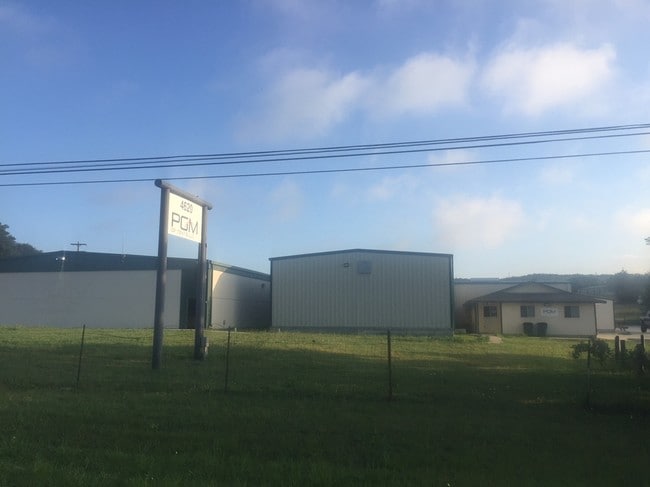
Property Record
4620 W Highway 290, Dripping Springs, TX 78620


Property Detail
4620 W Highway 290
Austin-Round Rock-San Marcos, TX
LADERA, LOT 3A, ACRES 2.84
R141048
Hays
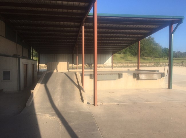
Commercialnec
Texas
B and X Area of moderate flood hazard, usually the area between the limits of the 100-year and 500-year floods.
3a
2024
2.84 AC
2025
Hays County
010817
Austin
14,990 SF
NEARBY LISTINGS FOR SALE OR LEASE
-
-
View all Dripping Springs listings for sale on LoopNet.com
DEMOGRAPHICS near 4620 W Highway 290
1 mile
3 mile
5 mile
2025 Total Population
217
2,970
9,469
2030 Population
246
3,483
11,093
Pop Growth 2025-2030
+ 13.36%
+ 17.27%
+ 17.15%
Average Age
45
43
43
2025 Total Households
86
1,099
3,476
HH Growth 2025-2030
+ 13.95%
+ 18.20%
+ 18.12%
Median Household Inc
$144,166
$132,224
$127,571
Avg Household Size
2.50
2.70
2.70
2025 Avg HH Vehicles
2.00
2.00
2.00
Median Home Value
$919,999
$847,130
$815,010
Median Year Built
2002
2009
2005
Nearby Places
Map Layers
Map Styles
 Street
 Aerial
Transit
 Traffic
 Biking
Places
Listings with unknown addresses are not visible on the map
- Restaurants
- Banks
- Shops
- Fitness
- Groceries
PUBLIC TRANSPORTATION
AIRPORT
Austin-Bergstrom International
Drive
Walk
Distance
Austin-Bergstrom International
53 min
34.9 mi
SALE & LEASE HISTORY
LISTING DATE
SALE/LEASE

Jun 20, 2018
For Sale
Jul 24, 2018
For Lease
Aug 19, 2019
For Sale
Nearby Properties
Address
Land Use
TOTAL SIZE
Lot Size
Zoning
Address
Land Use
TOTAL SIZE
Lot Size
Zoning
16,274 SF
22.16 AC
Address
Land Use
TOTAL SIZE
Lot Size
Zoning
16,500 SF
10 AC
Address
Land Use
TOTAL SIZE
Lot Size
Zoning
888 SF
5.93 AC
Address
Land Use
TOTAL SIZE
Lot Size
Zoning
106,783 SF
5.79 AC
Address
Land Use
TOTAL SIZE
Lot Size
Zoning
6,298 SF
4.16 AC
Address
Land Use
TOTAL SIZE
Lot Size
Zoning
60,980 SF
36.80 AC
Address
Land Use
TOTAL SIZE
Lot Size
Zoning
9,077 SF
94.33 AC
Address
Land Use
TOTAL SIZE
Lot Size
Zoning
344,392 SF
18.21 AC
Address
Land Use
TOTAL SIZE
Lot Size
Zoning
9,692 SF
3.78 AC
Address
Land Use
TOTAL SIZE
Lot Size
Zoning
9,638 SF
12.01 AC
Address
Land Use
TOTAL SIZE
Lot Size
Zoning
19,069 SF
104.04 AC
Address
Land Use
TOTAL SIZE
Lot Size
Zoning
Address
Land Use
TOTAL SIZE
Lot Size
Zoning
2,398 SF
10.20 AC
Address
Land Use
TOTAL SIZE
Lot Size
Zoning
24.66 AC
Address
Land Use
TOTAL SIZE
Lot Size
Zoning
9,000 SF
3.42 AC
Address
Land Use
TOTAL SIZE
Lot Size
Zoning
15,750 SF
12.09 AC
Address
Land Use
TOTAL SIZE
Lot Size
Zoning
13,200 SF
1.29 AC
Address
Land Use
TOTAL SIZE
Lot Size
Zoning
5,000 SF
28.01 AC
Address
Land Use
TOTAL SIZE
Lot Size
Zoning
4,630 SF
3.50 AC
Address
Land Use
TOTAL SIZE
Lot Size
Zoning
7,500 SF
4.59 AC
Address
Land Use
TOTAL SIZE
Lot Size
Zoning
6,456 SF
7.36 AC
Address
Land Use
TOTAL SIZE
Lot Size
Zoning
4,160 SF
59.64 AC
Address
Land Use
TOTAL SIZE
Lot Size
Zoning
3,520 SF
3.62 AC
Address
Land Use
TOTAL SIZE
Lot Size
Zoning
4,455 SF
0.92 AC
Address
Land Use
TOTAL SIZE
Lot Size
Zoning
11.45 AC
Address
Land Use
TOTAL SIZE
Lot Size
Zoning
8,925 SF
1.21 AC
Address
Land Use
TOTAL SIZE
Lot Size
Zoning
3,200 SF
11.50 AC
Address
Land Use
TOTAL SIZE
Lot Size
Zoning
2,226 SF
5.01 AC
Address
Land Use
TOTAL SIZE
Lot Size
Zoning
The World's #1 Commercial Real Estate Marketplace
Connect with us
© 2026 CoStar Group
The information above has been obtained from sources believed reliable. While we do not doubt its accuracy we have not verified it and make no guarantee, warranty or representation about it. It is your responsibility to independently confirm its accuracy and completeness. Any projections, opinions, assumptions, or estimates used are for example only and do not represent the current or future performance of the property. The value of this transaction to you depends on tax and other factors which should be evaluated by your tax, financial, and legal advisors. You and your advisors should conduct a careful, independent investigation of the property to determine to your satisfaction the suitability of the property for your needs.