Property Record
4621 Hilltop Ln, Panama City, FL 32405

NEARBY LISTINGS FOR SALE OR LEASE
Property Detail
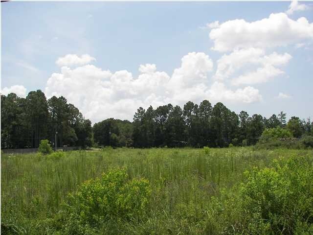
4621 Hilltop Ln
Panama City-Panama City Beach, FL
St And Bay Dev Co Plat
11521-000-000
14 3S 14W -5.16- 116B ST AND BAY DEV CO PLAT COMM AT TH INT OF W LI OF LOT 5 & S ROW LI OF HWY 390 TH E ALG ROW LI 308, TH S 138.60 FOR POB TH E 261.23, N 28, E 27, S28, E 30.81 TO W ROW LI OF HILLTOP LN TH S 404.42, W 319.02, N 402.88 TO POB SUB TO
Retirementnursinghomecombined
Bay
A
Florida
12005C0351J
5
2024
2.98 AC
2025
Panama City
001301
Other Market Areas
10,164 SF
DEMOGRAPHICS near 4621 Hilltop Ln
1 mile
3 mile
5 mile
2024 Total Population
3,243
25,849
53,258
2029 Population
3,377
27,152
56,430
Pop Growth 2024-2029
+ 4.13%
+ 5.04%
+ 5.96%
Average Age
41
39
39
2024 Total Households
1,161
9,635
19,709
HH Growth 2024-2029
+ 4.74%
+ 5.41%
+ 6.35%
Median Household Inc
$102,143
$70,987
$62,583
Avg Household Size
2.80
2.60
2.60
2024 Avg HH Vehicles
3.00
2.00
2.00
Median Home Value
$321,137
$237,210
$229,152
Median Year Built
1991
1993
1991
Nearby Places
Map Layers
Map Styles
 Street
 Aerial
Transit
 Traffic
 Biking
Places
Listings with unknown addresses are not visible on the map
- Restaurants
- Banks
- Shops
- Fitness
- Groceries
PUBLIC TRANSPORTATION
AIRPORT
Northwest Florida Beaches International
Drive
Walk
Distance
Northwest Florida Beaches International
31 min
19.2 mi
Freight Ports
Port of Panama City
Drive
Walk
Distance
Port of Panama City
19 min
10.3 mi
Nearby Properties
Address
Land Use
TOTAL SIZE
Lot Size
Zoning
Address
Land Use
TOTAL SIZE
Lot Size
Zoning
38,588 SF
41.15 AC
BC15
Address
Land Use
TOTAL SIZE
Lot Size
Zoning
277,246 SF
16 AC
BC15
Address
Land Use
TOTAL SIZE
Lot Size
Zoning
281,578 SF
21.66 AC
UND
Address
Land Use
TOTAL SIZE
Lot Size
Zoning
53,562 SF
14.22 AC
Address
Land Use
TOTAL SIZE
Lot Size
Zoning
206,758 SF
25.65 AC
SB
Address
Land Use
TOTAL SIZE
Lot Size
Zoning
238,930 SF
39.18 AC
PSP
Address
Land Use
TOTAL SIZE
Lot Size
Zoning
185,884 SF
24 AC
BC15
Address
Land Use
TOTAL SIZE
Lot Size
Zoning
115,472 SF
9.10 AC
Address
Land Use
TOTAL SIZE
Lot Size
Zoning
350,458 SF
16.29 AC
UND
Address
Land Use
TOTAL SIZE
Lot Size
Zoning
224,823 SF
59.80 AC
PSP
Address
Land Use
TOTAL SIZE
Lot Size
Zoning
113,514 SF
14.51 AC
UND
Address
Land Use
TOTAL SIZE
Lot Size
Zoning
90,834 SF
3.04 AC
UND
Address
Land Use
TOTAL SIZE
Lot Size
Zoning
112,836 SF
20 AC
UND
Address
Land Use
TOTAL SIZE
Lot Size
Zoning
150,393 SF
8.40 AC
UND
Address
Land Use
TOTAL SIZE
Lot Size
Zoning
93,125 SF
12.04 AC
PI
Address
Land Use
TOTAL SIZE
Lot Size
Zoning
64,000 SF
9.84 AC
UND
Address
Land Use
TOTAL SIZE
Lot Size
Zoning
157,600 SF
17.68 AC
UND
Address
Land Use
TOTAL SIZE
Lot Size
Zoning
89,000 SF
4.65 AC
BC15
Address
Land Use
TOTAL SIZE
Lot Size
Zoning
241.76 AC
BC01
Address
Land Use
TOTAL SIZE
Lot Size
Zoning
41,519 SF
60 AC
UND
Address
Land Use
TOTAL SIZE
Lot Size
Zoning
100,582 SF
4.45 AC
Address
Land Use
TOTAL SIZE
Lot Size
Zoning
57,807 SF
11.64 AC
UND
Address
Land Use
TOTAL SIZE
Lot Size
Zoning
139,911 SF
37.43 AC
PSP
Address
Land Use
TOTAL SIZE
Lot Size
Zoning
42,776 SF
10.40 AC
UND
Address
Land Use
TOTAL SIZE
Lot Size
Zoning
91,484 SF
9.39 AC
RB
Address
Land Use
TOTAL SIZE
Lot Size
Zoning
82,748 SF
10 AC
UND
Address
Land Use
TOTAL SIZE
Lot Size
Zoning
45,836 SF
8.99 AC
BC05
Address
Land Use
TOTAL SIZE
Lot Size
Zoning
7,630 SF
8 AC
BB
Address
Land Use
TOTAL SIZE
Lot Size
Zoning
5,972 SF
12.53 AC
AAA
Address
Land Use
TOTAL SIZE
Lot Size
Zoning
45,503 SF
4.83 AC
BC14
The World's #1 Commercial Real Estate Marketplace
Connect with us
© 2026 CoStar Group
The information above has been obtained from sources believed reliable. While we do not doubt its accuracy we have not verified it and make no guarantee, warranty or representation about it. It is your responsibility to independently confirm its accuracy and completeness. Any projections, opinions, assumptions, or estimates used are for example only and do not represent the current or future performance of the property. The value of this transaction to you depends on tax and other factors which should be evaluated by your tax, financial, and legal advisors. You and your advisors should conduct a careful, independent investigation of the property to determine to your satisfaction the suitability of the property for your needs.