Property Record
4651 W 121St Ave, Broomfield, CO 80020


NEARBY LISTINGS FOR SALE OR LEASE
Property Detail
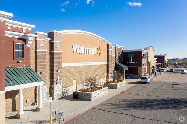
4651 W 121St Ave
Denver-Aurora-Centennial, CO
A And B Subdivision Replat C
1573-31-3-28-001
SUBD: A AND B SUBDIVISION REPLAT C LOT: 1 S: 31 T: 1S R: 68W
Storebuilding
Broomfield
AE
Colorado
08059C0091G
1
2024
19.40 AC
2025
Northwest
030800
Denver
196,844 SF
DEMOGRAPHICS near 4651 W 121St Ave
1 Mile
3 Mile
5 Mile
2024 Total Population
13,752
105,789
260,902
2029 Population
14,539
111,573
271,296
Pop Growth 2024-2029
+ 5.72%
+ 5.47%
+ 3.98%
Average Age
40
40
38
2024 Total Households
5,077
41,345
101,914
HH Growth 2024-2029
+ 5.75%
+ 5.39%
+ 4.09%
Median Household Inc
$112,207
$101,577
$86,006
Avg Household Size
2.60
2.50
2.50
2024 Avg HH Vehicles
2.00
2.00
2.00
Median Home Value
$562,407
$514,700
$456,052
Median Year Built
1995
1993
1990
Nearby Places
Map Layers
Map Styles
 Street
 Aerial
- Restaurants
- Banks
- Shops
- Fitness
- Groceries
PUBLIC TRANSPORTATION
COMMUTER RAIL
Eastlake - 124Th Station Track 2 (Union Station to Eastlake & 124th Station - Regional Transportation District)
DRIVE
WALK
Distance
Eastlake - 124Th Station Track 2 (Union Station to Eastlake & 124th Station - Regional Transportation District)
10 min
5.5 mi
Northglenn - 112Th Station Track 2 (Union Station to Eastlake & 124th Station - Regional Transportation District)
DRIVE
WALK
Distance
Northglenn - 112Th Station Track 2 (Union Station to Eastlake & 124th Station - Regional Transportation District)
12 min
6.1 mi
AIRPORT
Denver International
DRIVE
WALK
Distance
Denver International
39 min
32.0 mi
Freight Ports
Tulsa Port Of Catoosa
DRIVE
WALK
Distance
Tulsa Port Of Catoosa
740 min
717.7 mi
Nearby Properties
Address
Land Use
TOTAL SIZE
Lot Size
Zoning
Address
Land Use
TOTAL SIZE
Lot Size
Zoning
1,031,000 SF
31.98 AC
Address
Land Use
TOTAL SIZE
Lot Size
Zoning
117,775 SF
34.58 AC
GA; PUD
Address
Land Use
TOTAL SIZE
Lot Size
Zoning
539,891 SF
30.35 AC
Address
Land Use
TOTAL SIZE
Lot Size
Zoning
78,238 SF
181.60 AC
OLPF
Address
Land Use
TOTAL SIZE
Lot Size
Zoning
99,497 SF
11.02 AC
Address
Land Use
TOTAL SIZE
Lot Size
Zoning
244,459 SF
50.30 AC
Address
Land Use
TOTAL SIZE
Lot Size
Zoning
1,440 SF
41.30 AC
Address
Land Use
TOTAL SIZE
Lot Size
Zoning
209,009 SF
22.30 AC
Address
Land Use
TOTAL SIZE
Lot Size
Zoning
251,374 SF
20.95 AC
B-1
Address
Land Use
TOTAL SIZE
Lot Size
Zoning
174,398 SF
33.34 AC
PF; PROL;
Address
Land Use
TOTAL SIZE
Lot Size
Zoning
103,416 SF
45.52 AC
PUD
Address
Land Use
TOTAL SIZE
Lot Size
Zoning
1 SF
13.55 AC
Address
Land Use
TOTAL SIZE
Lot Size
Zoning
159,724 SF
8.11 AC
Address
Land Use
TOTAL SIZE
Lot Size
Zoning
577,088 SF
18.94 AC
PUD
Address
Land Use
TOTAL SIZE
Lot Size
Zoning
149,769 SF
20.71 AC
Address
Land Use
TOTAL SIZE
Lot Size
Zoning
250,701 SF
14.14 AC
Address
Land Use
TOTAL SIZE
Lot Size
Zoning
528,256 SF
3.87 AC
PUD
Address
Land Use
TOTAL SIZE
Lot Size
Zoning
34,584 SF
13.70 AC
PUD
Address
Land Use
TOTAL SIZE
Lot Size
Zoning
78,008 SF
5.01 AC
PUD
Address
Land Use
TOTAL SIZE
Lot Size
Zoning
203,755 SF
39.65 AC
R-1
Address
Land Use
TOTAL SIZE
Lot Size
Zoning
127,434 SF
7.53 AC
Address
Land Use
TOTAL SIZE
Lot Size
Zoning
141,741 SF
5.58 AC
Address
Land Use
TOTAL SIZE
Lot Size
Zoning
419,774 SF
11.38 AC
PUD
Address
Land Use
TOTAL SIZE
Lot Size
Zoning
406,720 SF
17.59 AC
Address
Land Use
TOTAL SIZE
Lot Size
Zoning
297,172 SF
24.11 AC
Address
Land Use
TOTAL SIZE
Lot Size
Zoning
147,443 SF
21.06 AC
Address
Land Use
TOTAL SIZE
Lot Size
Zoning
18,900 SF
60.88 AC
PUD
Address
Land Use
TOTAL SIZE
Lot Size
Zoning
315,637 SF
8.56 AC
Address
Land Use
TOTAL SIZE
Lot Size
Zoning
155,081 SF
7.42 AC
Address
Land Use
TOTAL SIZE
Lot Size
Zoning
275,421 SF
7.79 AC
The World's #1 Commercial Real Estate Marketplace
Connect with us
© 2026 CoStar Group
The information above has been obtained from sources believed reliable. While we do not doubt its accuracy we have not verified it and make no guarantee, warranty or representation about it. It is your responsibility to independently confirm its accuracy and completeness. Any projections, opinions, assumptions, or estimates used are for example only and do not represent the current or future performance of the property. The value of this transaction to you depends on tax and other factors which should be evaluated by your tax, financial, and legal advisors. You and your advisors should conduct a careful, independent investigation of the property to determine to your satisfaction the suitability of the property for your needs.