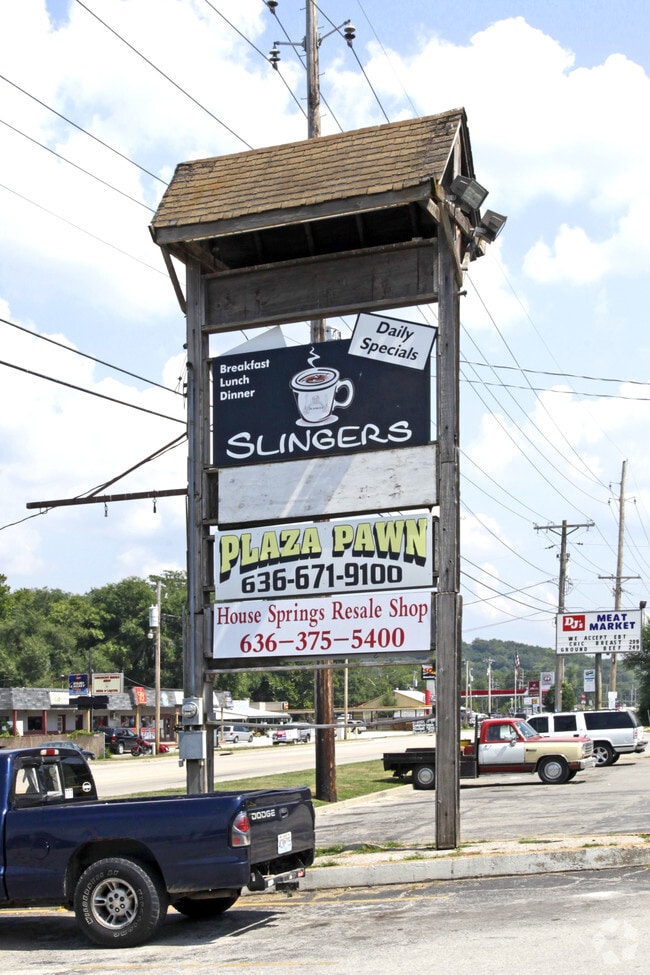
Property Record
4654 Gravois Rd, House Springs, MO 63051


NEARBY LISTINGS FOR SALE OR LEASE
Property Detail
4654 Gravois Rd
07-2.0-04.0-1-002-026
Us Surv 666
Storebuilding
PT US SURVEY 666
AE
Jefferson
29099C0087F
Missouri
2024
2.01 AC
2025
Outer Jefferson Cnty
700503
St. Louis
18,431 SF
St. Louis, MO-IL
DEMOGRAPHICS near 4654 Gravois Rd
1 Mile
3 Mile
5 Mile
2024 Total Population
1,081
11,329
28,642
2029 Population
1,119
11,756
29,739
Pop Growth 2024-2029
+ 3.52%
+ 3.77%
+ 3.83%
Average Age
42
41
41
2024 Total Households
425
4,321
11,013
HH Growth 2024-2029
+ 3.76%
+ 3.89%
+ 3.88%
Median Household Inc
$78,688
$71,689
$73,502
Avg Household Size
2.50
2.60
2.60
2024 Avg HH Vehicles
2.00
2.00
2.00
Median Home Value
$241,275
$211,601
$212,378
Median Year Built
1979
1986
1985
Nearby Places
Map Layers
Map Styles
 Street
 Aerial
- Restaurants
- Banks
- Shops
- Fitness
- Groceries
PUBLIC TRANSPORTATION
AIRPORT
St Louis Lambert International
DRIVE
WALK
Distance
St Louis Lambert International
49 min
34.1 mi
SALE & LEASE HISTORY
LISTING DATE
SALE/LEASE

Oct 17, 2017
For Lease
Nearby Properties
Address
Land Use
TOTAL SIZE
Lot Size
Zoning
Address
Land Use
TOTAL SIZE
Lot Size
Zoning
59,638 SF
85.07 AC
PUD
Address
Land Use
TOTAL SIZE
Lot Size
Zoning
15,035 SF
2.57 AC
CT1
Address
Land Use
TOTAL SIZE
Lot Size
Zoning
56,840 SF
6.14 AC
CC2
Address
Land Use
TOTAL SIZE
Lot Size
Zoning
8,099 SF
0.99 AC
Address
Land Use
TOTAL SIZE
Lot Size
Zoning
19,980 SF
3.22 AC
CC2
Address
Land Use
TOTAL SIZE
Lot Size
Zoning
185.60 AC
PUD
Address
Land Use
TOTAL SIZE
Lot Size
Zoning
1.06 AC
Address
Land Use
TOTAL SIZE
Lot Size
Zoning
45,264 SF
7.21 AC
CC2
Address
Land Use
TOTAL SIZE
Lot Size
Zoning
31,476 SF
4.15 AC
CT1
Address
Land Use
TOTAL SIZE
Lot Size
Zoning
12,323 SF
1.28 AC
CC2
Address
Land Use
TOTAL SIZE
Lot Size
Zoning
2,880 SF
8.23 AC
CT1
Address
Land Use
TOTAL SIZE
Lot Size
Zoning
5,212 SF
1.90 AC
CC2
Address
Land Use
TOTAL SIZE
Lot Size
Zoning
44,104 SF
4.78 AC
R10
Address
Land Use
TOTAL SIZE
Lot Size
Zoning
15,660 SF
3.01 AC
Address
Land Use
TOTAL SIZE
Lot Size
Zoning
7,360 SF
0.93 AC
Address
Land Use
TOTAL SIZE
Lot Size
Zoning
3,788 SF
1.08 AC
Address
Land Use
TOTAL SIZE
Lot Size
Zoning
36,096 SF
3.48 AC
Address
Land Use
TOTAL SIZE
Lot Size
Zoning
9,301 SF
0.95 AC
CC2
Address
Land Use
TOTAL SIZE
Lot Size
Zoning
5,200 SF
10.21 AC
LR2
Address
Land Use
TOTAL SIZE
Lot Size
Zoning
3,362 SF
1.07 AC
CC2
Address
Land Use
TOTAL SIZE
Lot Size
Zoning
6,543 SF
0.79 AC
CC2
Address
Land Use
TOTAL SIZE
Lot Size
Zoning
8,329 SF
435.87 AC
LR2
Address
Land Use
TOTAL SIZE
Lot Size
Zoning
2,755 SF
0.57 AC
CC2
Address
Land Use
TOTAL SIZE
Lot Size
Zoning
3,690 SF
1.38 AC
CT1
Address
Land Use
TOTAL SIZE
Lot Size
Zoning
16,200 SF
116.38 AC
R40
Address
Land Use
TOTAL SIZE
Lot Size
Zoning
4,136 SF
15.68 AC
Address
Land Use
TOTAL SIZE
Lot Size
Zoning
2,097 SF
0.69 AC
CT1
Address
Land Use
TOTAL SIZE
Lot Size
Zoning
3,568 SF
0.47 AC
CC2
Address
Land Use
TOTAL SIZE
Lot Size
Zoning
9,120 SF
3.06 AC
CT1
The World's #1 Commercial Real Estate Marketplace
Connect with us
© 2026 CoStar Group
The information above has been obtained from sources believed reliable. While we do not doubt its accuracy we have not verified it and make no guarantee, warranty or representation about it. It is your responsibility to independently confirm its accuracy and completeness. Any projections, opinions, assumptions, or estimates used are for example only and do not represent the current or future performance of the property. The value of this transaction to you depends on tax and other factors which should be evaluated by your tax, financial, and legal advisors. You and your advisors should conduct a careful, independent investigation of the property to determine to your satisfaction the suitability of the property for your needs.