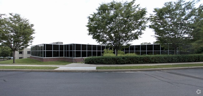
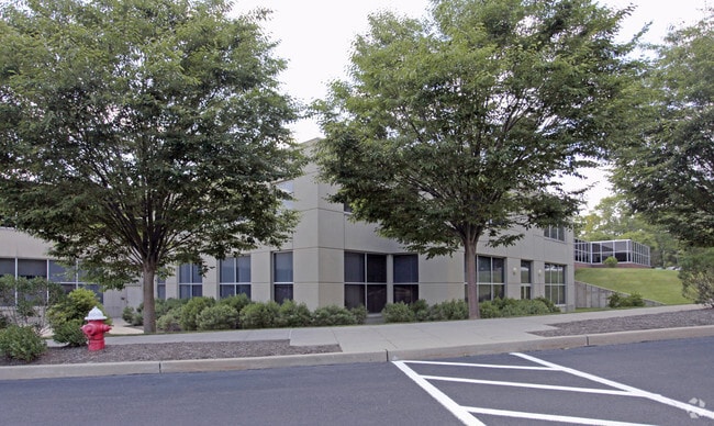
Property Record
469 N Harrison St, Princeton, NJ 08540
NEARBY LISTINGS FOR SALE OR LEASE
Property Detail
469 N Harrison St
14-05502-0000-00003
B-33,L-382
Officebuilding
Mercer
X
New Jersey
34021C0132F
3
2024
2.27 AC
2025
Trenton North
004205
Northern New Jersey
125,750 SF
Trenton, NJ
DEMOGRAPHICS near 469 N Harrison St
1 Mile
3 Mile
5 Mile
2024 Total Population
6,528
38,099
79,309
2029 Population
6,503
38,129
79,190
Pop Growth 2024-2029
(0.38%)
+ 0.08%
(0.15%)
Average Age
43
41
41
2024 Total Households
2,534
14,154
28,797
HH Growth 2024-2029
(0.51%)
+ 0.13%
(0.11%)
Median Household Inc
$143,026
$150,800
$159,998
Avg Household Size
2.50
2.50
2.60
2024 Avg HH Vehicles
2.00
2.00
2.00
Median Home Value
$784,579
$791,630
$727,274
Median Year Built
1968
1981
1987
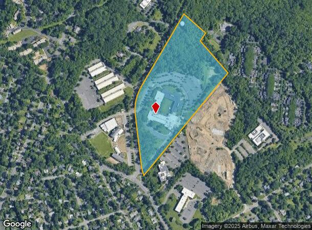
Nearby Places
Map Layers
Map Styles
 Street
 Aerial
- Restaurants
- Banks
- Shops
- Fitness
- Groceries
PUBLIC TRANSPORTATION
COMMUTER RAIL
Princeton (Princeton Branch - NJ Transit Commuter Rail (NJ Transit))
DRIVE
WALK
Distance
Princeton (Princeton Branch - NJ Transit Commuter Rail (NJ Transit))
6 min
2.8 mi
Princeton Junction (Northeast Corridor Line - NJ Transit Commuter Rail (NJ Transit), Princeton Branch - NJ Transit Commuter Rail (NJ Transit))
DRIVE
WALK
Distance
Princeton Junction (Northeast Corridor Line - NJ Transit Commuter Rail (NJ Transit), Princeton Branch - NJ Transit Commuter Rail (NJ Transit))
12 min
4.7 mi
AIRPORT
Trenton Mercer
DRIVE
WALK
Distance
Trenton Mercer
27 min
16.6 mi
Freight Ports
New York Container Terminal
DRIVE
WALK
Distance
New York Container Terminal
55 min
35.7 mi
Nearby Properties
Address
Land Use
TOTAL SIZE
Lot Size
Zoning
Address
Land Use
TOTAL SIZE
Lot Size
Zoning
636,000 SF
60.76 AC
PHCR
Address
Land Use
TOTAL SIZE
Lot Size
Zoning
Address
Land Use
TOTAL SIZE
Lot Size
Zoning
Address
Land Use
TOTAL SIZE
Lot Size
Zoning
30.62 AC
E
Address
Land Use
TOTAL SIZE
Lot Size
Zoning
24.85 AC
E
Address
Land Use
TOTAL SIZE
Lot Size
Zoning
265,000 SF
4.84 AC
Address
Land Use
TOTAL SIZE
Lot Size
Zoning
34.97 AC
PMUD
Address
Land Use
TOTAL SIZE
Lot Size
Zoning
23.64 AC
PMUD
Address
Land Use
TOTAL SIZE
Lot Size
Zoning
8.97 AC
HMC
Address
Land Use
TOTAL SIZE
Lot Size
Zoning
115,000 SF
7.98 AC
OR2
Address
Land Use
TOTAL SIZE
Lot Size
Zoning
405,811 SF
4.14 AC
Address
Land Use
TOTAL SIZE
Lot Size
Zoning
216,000 SF
22.79 AC
SC
Address
Land Use
TOTAL SIZE
Lot Size
Zoning
66.62 AC
PMUD
Address
Land Use
TOTAL SIZE
Lot Size
Zoning
258,277 SF
5.96 AC
Address
Land Use
TOTAL SIZE
Lot Size
Zoning
2.49 AC
E3
Address
Land Use
TOTAL SIZE
Lot Size
Zoning
0.78 AC
PHCR
Address
Land Use
TOTAL SIZE
Lot Size
Zoning
11.75 AC
PMUD
Address
Land Use
TOTAL SIZE
Lot Size
Zoning
2.29 AC
Address
Land Use
TOTAL SIZE
Lot Size
Zoning
151,475 SF
2.12 AC
E1
Address
Land Use
TOTAL SIZE
Lot Size
Zoning
21.79 AC
R3
Address
Land Use
TOTAL SIZE
Lot Size
Zoning
52,000 SF
0.62 AC
CBCP
Address
Land Use
TOTAL SIZE
Lot Size
Zoning
154,150 SF
16.75 AC
PMUD
Address
Land Use
TOTAL SIZE
Lot Size
Zoning
167,546 SF
3.08 AC
Address
Land Use
TOTAL SIZE
Lot Size
Zoning
12.20 AC
E
Address
Land Use
TOTAL SIZE
Lot Size
Zoning
6.10 AC
PHCR
Address
Land Use
TOTAL SIZE
Lot Size
Zoning
36.45 AC
E4
Address
Land Use
TOTAL SIZE
Lot Size
Zoning
9.22 AC
E4
Address
Land Use
TOTAL SIZE
Lot Size
Zoning
0.26 AC
OR2
Address
Land Use
TOTAL SIZE
Lot Size
Zoning
4.94 AC
E1
Address
Land Use
TOTAL SIZE
Lot Size
Zoning
12.59 AC
PMUD
The World's #1 Commercial Real Estate Marketplace
Connect with us
© 2025 CoStar Group
The information above has been obtained from sources believed reliable. While we do not doubt its accuracy we have not verified it and make no guarantee, warranty or representation about it. It is your responsibility to independently confirm its accuracy and completeness. Any projections, opinions, assumptions, or estimates used are for example only and do not represent the current or future performance of the property. The value of this transaction to you depends on tax and other factors which should be evaluated by your tax, financial, and legal advisors. You and your advisors should conduct a careful, independent investigation of the property to determine to your satisfaction the suitability of the property for your needs.