Property Record
47 Forest St, Sherborn, MA 01770


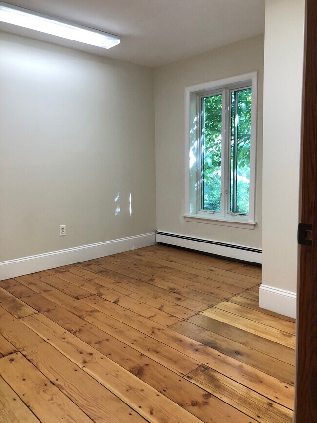
Property Detail
47 Forest St
SHER-000012-000000-000137
MIDDLESEX
Commercialbuilding
Massachusetts
RA
137
A Areas with a 1% annual chance of flooding and a 26% chance of flooding over the life of a 30-year mortgage.
1.92 AC
2025
Hopkinton/Holliston
2025
Boston
386100
Boston-Cambridge-Newton, MA-NH
14,884 SF
NEARBY LISTINGS FOR SALE OR LEASE
DEMOGRAPHICS near 47 Forest St
1 mile
3 mile
5 mile
2025 Total Population
839
11,804
93,567
2030 Population
879
12,398
97,489
Pop Growth 2025-2030
+ 4.77%
+ 5.03%
+ 4.19%
Average Age
42
42
41
2025 Total Households
285
4,146
34,778
HH Growth 2025-2030
+ 4.91%
+ 5.14%
+ 4.23%
Median Household Inc
$222,500
$194,990
$129,165
Avg Household Size
2.90
2.80
2.60
2025 Avg HH Vehicles
2.00
2.00
2.00
Median Home Value
$940,298
$886,149
$764,372
Median Year Built
1970
1975
1970
Nearby Places
Map Layers
Map Styles
 Street
 Aerial
Layers
 Traffic
 Biking
Places
Listings with unknown addresses are not visible on the map
- Restaurants
- Banks
- Shops
- Fitness
- Groceries
PUBLIC TRANSPORTATION
COMMUTER RAIL
Natick (Framingham/Worcester Line - Massachusetts Bay Transportation Authority Commuter Rail (Purple Line))
Drive
Walk
Distance
Natick (Framingham/Worcester Line - Massachusetts Bay Transportation Authority Commuter Rail (Purple Line))
11 min
5.4 mi
West Natick (Framingham/Worcester Line - Massachusetts Bay Transportation Authority Commuter Rail (Purple Line))
Drive
Walk
Distance
West Natick (Framingham/Worcester Line - Massachusetts Bay Transportation Authority Commuter Rail (Purple Line))
13 min
5.8 mi
AIRPORT
General Edward Lawrence Logan International
Drive
Walk
Distance
General Edward Lawrence Logan International
44 min
25.2 mi
Worcester Regional
Drive
Walk
Distance
Worcester Regional
59 min
32.3 mi
Freight Ports
Port of Boston
Drive
Walk
Distance
Port of Boston
42 min
23.5 mi
SALE & LEASE HISTORY
LISTING DATE
SALE/LEASE

Aug 26, 2020
For Lease
Nearby Properties
Address
Land Use
TOTAL SIZE
Lot Size
Zoning
Address
Land Use
TOTAL SIZE
Lot Size
Zoning
36.60 AC
R2
Address
Land Use
TOTAL SIZE
Lot Size
Zoning
16.98 AC
RS
Address
Land Use
TOTAL SIZE
Lot Size
Zoning
75,224 SF
4.05 AC
I
Address
Land Use
TOTAL SIZE
Lot Size
Zoning
87.30 AC
A
Address
Land Use
TOTAL SIZE
Lot Size
Zoning
189.70 AC
RSB
Address
Land Use
TOTAL SIZE
Lot Size
Zoning
78.50 AC
R2
Address
Land Use
TOTAL SIZE
Lot Size
Zoning
89,572 SF
4.50 AC
RS
Address
Land Use
TOTAL SIZE
Lot Size
Zoning
237,660 SF
20.98 AC
I
Address
Land Use
TOTAL SIZE
Lot Size
Zoning
11.65 AC
R2
Address
Land Use
TOTAL SIZE
Lot Size
Zoning
83,772 SF
7.69 AC
Address
Land Use
TOTAL SIZE
Lot Size
Zoning
117,230 SF
12.08 AC
IE
Address
Land Use
TOTAL SIZE
Lot Size
Zoning
14.14 AC
R2
Address
Land Use
TOTAL SIZE
Lot Size
Zoning
59.97 AC
R2
Address
Land Use
TOTAL SIZE
Lot Size
Zoning
273.63 AC
RC
Address
Land Use
TOTAL SIZE
Lot Size
Zoning
121.74 AC
R2
Address
Land Use
TOTAL SIZE
Lot Size
Zoning
4.91 AC
RA
Address
Land Use
TOTAL SIZE
Lot Size
Zoning
65,969 SF
10.70 AC
RA
Address
Land Use
TOTAL SIZE
Lot Size
Zoning
67.42 AC
R2
Address
Land Use
TOTAL SIZE
Lot Size
Zoning
59.80 AC
RSB
Address
Land Use
TOTAL SIZE
Lot Size
Zoning
62.90 AC
RSB
Address
Land Use
TOTAL SIZE
Lot Size
Zoning
9,151 SF
30.23 AC
RT
Address
Land Use
TOTAL SIZE
Lot Size
Zoning
237.78 AC
RC
Address
Land Use
TOTAL SIZE
Lot Size
Zoning
56,077 SF
5.52 AC
IE
Address
Land Use
TOTAL SIZE
Lot Size
Zoning
22.60 AC
R2
Address
Land Use
TOTAL SIZE
Lot Size
Zoning
54,248 SF
3.70 AC
IE
Address
Land Use
TOTAL SIZE
Lot Size
Zoning
23,403 SF
3.31 AC
RA
Address
Land Use
TOTAL SIZE
Lot Size
Zoning
167 AC
RA
Address
Land Use
TOTAL SIZE
Lot Size
Zoning
12.30 AC
IE
Address
Land Use
TOTAL SIZE
Lot Size
Zoning
18.08 AC
IE
Address
Land Use
TOTAL SIZE
Lot Size
Zoning
4,646 SF
118 AC
The World's #1 Commercial Real Estate Marketplace
Connect with us
© 2026 CoStar Group
The information above has been obtained from sources believed reliable. While we do not doubt its accuracy we have not verified it and make no guarantee, warranty or representation about it. It is your responsibility to independently confirm its accuracy and completeness. Any projections, opinions, assumptions, or estimates used are for example only and do not represent the current or future performance of the property. The value of this transaction to you depends on tax and other factors which should be evaluated by your tax, financial, and legal advisors. You and your advisors should conduct a careful, independent investigation of the property to determine to your satisfaction the suitability of the property for your needs.