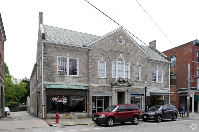
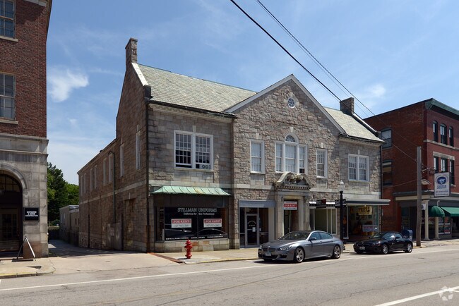
Property Record
47 High St, Westerly, RI 02891

Property Detail
47 High St
WEST-000056-000076
WASHINGTON
Commercialbuilding
Rhode Island
B and X Area of moderate flood hazard, usually the area between the limits of the 100-year and 500-year floods.
0.24 AC
2025
Washington County
2025
Providence
050801
Providence-Warwick, RI-MA
13,096 SF
NEARBY LISTINGS FOR SALE OR LEASE
DEMOGRAPHICS near 47 High St
1 mile
3 mile
5 mile
2025 Total Population
9,224
22,683
37,649
2030 Population
8,865
22,175
37,586
Pop Growth 2025-2030
(3.89%)
(2.24%)
(0.17%)
Average Age
43
44
46
2025 Total Households
4,221
9,990
16,466
HH Growth 2025-2030
(4.29%)
(2.60%)
(0.24%)
Median Household Inc
$68,128
$83,383
$96,168
Avg Household Size
2.10
2.20
2.20
2025 Avg HH Vehicles
2.00
2.00
2.00
Median Home Value
$359,985
$410,247
$457,930
Median Year Built
1954
1969
1970
Nearby Places
Map Layers
Map Styles
 Street
 Aerial
Transit
 Traffic
 Biking
Places
Listings with unknown addresses are not visible on the map
- Restaurants
- Banks
- Shops
- Fitness
- Groceries
The World's #1 Commercial Real Estate Marketplace
Connect with us
© 2026 CoStar Group
The information above has been obtained from sources believed reliable. While we do not doubt its accuracy we have not verified it and make no guarantee, warranty or representation about it. It is your responsibility to independently confirm its accuracy and completeness. Any projections, opinions, assumptions, or estimates used are for example only and do not represent the current or future performance of the property. The value of this transaction to you depends on tax and other factors which should be evaluated by your tax, financial, and legal advisors. You and your advisors should conduct a careful, independent investigation of the property to determine to your satisfaction the suitability of the property for your needs.