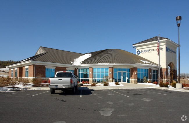
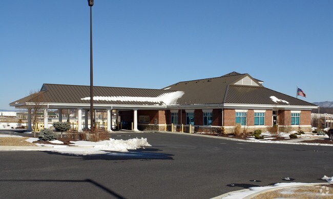
Property Record
47 W Kaylor Park Dr, Harrisonburg, VA 22801
NEARBY LISTINGS FOR SALE OR LEASE
Property Detail
47 W Kaylor Park Dr
Harrisonburg, VA
South Main Commercial Park
104-H-7
QUADRANT 4 SS PEOPLES DR LOT 7 SEC ONE SOUTH MAIN COMMERCIAL PARK
Financialbuilding
Harrisonburg
X
Virginia
51165C0391D
7
2024
2.11 AC
2025
Staunton & Harrisonburg
000302
Other Market Areas
7,343 SF
DEMOGRAPHICS near 47 W Kaylor Park Dr
1 Mile
3 Mile
5 Mile
2024 Total Population
2,104
33,403
78,225
2029 Population
2,146
33,544
78,657
Pop Growth 2024-2029
+ 2.00%
+ 0.42%
+ 0.55%
Average Age
34
32
35
2024 Total Households
700
10,964
26,985
HH Growth 2024-2029
+ 1.57%
+ 0.64%
+ 0.62%
Median Household Inc
$58,709
$61,024
$63,136
Avg Household Size
2.80
2.60
2.50
2024 Avg HH Vehicles
2.00
2.00
2.00
Median Home Value
$244,148
$278,355
$290,358
Median Year Built
1995
1993
1990
Nearby Places
Map Layers
Map Styles
 Street
 Aerial
- Restaurants
- Banks
- Shops
- Fitness
- Groceries
PUBLIC TRANSPORTATION
AIRPORT
Charlottesville-Albemarle
DRIVE
WALK
Distance
Charlottesville-Albemarle
71 min
48.6 mi
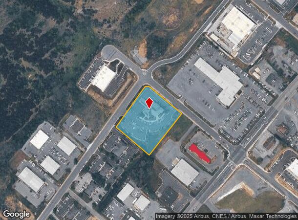
Nearby Properties
Address
Land Use
TOTAL SIZE
Lot Size
Zoning
Address
Land Use
TOTAL SIZE
Lot Size
Zoning
143.09 AC
MULTI DWEL
Address
Land Use
TOTAL SIZE
Lot Size
Zoning
68.88 AC
GENERAL IN
Address
Land Use
TOTAL SIZE
Lot Size
Zoning
114.53 AC
MULTI DWEL
Address
Land Use
TOTAL SIZE
Lot Size
Zoning
9.63 AC
MULTI DWEL
Address
Land Use
TOTAL SIZE
Lot Size
Zoning
122,976 SF
59.92 AC
Address
Land Use
TOTAL SIZE
Lot Size
Zoning
126,552 SF
49.87 AC
GENERAL BU
Address
Land Use
TOTAL SIZE
Lot Size
Zoning
100,172 SF
0.79 AC
MULTI DWEL
Address
Land Use
TOTAL SIZE
Lot Size
Zoning
36.81 AC
R5
Address
Land Use
TOTAL SIZE
Lot Size
Zoning
11.56 AC
B1
Address
Land Use
TOTAL SIZE
Lot Size
Zoning
260,792 SF
27.98 AC
P1
Address
Land Use
TOTAL SIZE
Lot Size
Zoning
768 SF
62.46 AC
SINGLE FAM
Address
Land Use
TOTAL SIZE
Lot Size
Zoning
225,359 SF
33.32 AC
I1
Address
Land Use
TOTAL SIZE
Lot Size
Zoning
11.07 AC
RESIDENTIA
Address
Land Use
TOTAL SIZE
Lot Size
Zoning
236,916 SF
3.72 AC
MULTI DWEL
Address
Land Use
TOTAL SIZE
Lot Size
Zoning
172,594 SF
0.65 AC
MULTI DWEL
Address
Land Use
TOTAL SIZE
Lot Size
Zoning
16,620 SF
192 AC
HIGH DENSI
Address
Land Use
TOTAL SIZE
Lot Size
Zoning
14,490 SF
190 AC
PLANNED UN
Address
Land Use
TOTAL SIZE
Lot Size
Zoning
17,472 SF
216 AC
HIGH DENSI
Address
Land Use
TOTAL SIZE
Lot Size
Zoning
11.11 AC
R3
Address
Land Use
TOTAL SIZE
Lot Size
Zoning
14,856 SF
168 AC
MULTI DWEL
Address
Land Use
TOTAL SIZE
Lot Size
Zoning
6.10 AC
PMF
Address
Land Use
TOTAL SIZE
Lot Size
Zoning
27,572 SF
MULTI DWEL
Address
Land Use
TOTAL SIZE
Lot Size
Zoning
130,426 SF
19.11 AC
R1
Address
Land Use
TOTAL SIZE
Lot Size
Zoning
295,543 SF
33.23 AC
I1
Address
Land Use
TOTAL SIZE
Lot Size
Zoning
78,560 SF
3.41 AC
MULTI DWEL
Address
Land Use
TOTAL SIZE
Lot Size
Zoning
9,440 SF
17.31 AC
R3
Address
Land Use
TOTAL SIZE
Lot Size
Zoning
119,941 SF
10.82 AC
SINGLE FAM
Address
Land Use
TOTAL SIZE
Lot Size
Zoning
905,215 SF
26.54 AC
M1
Address
Land Use
TOTAL SIZE
Lot Size
Zoning
15,432 SF
132 AC
MULTI DWEL
Address
Land Use
TOTAL SIZE
Lot Size
Zoning
13,578 SF
180 AC
HIGH DENSI
The World's #1 Commercial Real Estate Marketplace
Connect with us
© 2025 CoStar Group
The information above has been obtained from sources believed reliable. While we do not doubt its accuracy we have not verified it and make no guarantee, warranty or representation about it. It is your responsibility to independently confirm its accuracy and completeness. Any projections, opinions, assumptions, or estimates used are for example only and do not represent the current or future performance of the property. The value of this transaction to you depends on tax and other factors which should be evaluated by your tax, financial, and legal advisors. You and your advisors should conduct a careful, independent investigation of the property to determine to your satisfaction the suitability of the property for your needs.