Property Record
47 Walenda Dr Nw, Rome, GA 30165


NEARBY LISTINGS FOR SALE OR LEASE
-
-
No Photo
-
-
-
-
View all Rome listings for sale on LoopNet.com
Property Detail
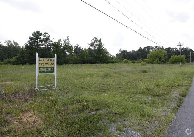
47 Walenda Dr Nw
Rome, GA
LL4 23/3 SUMMERVILLE HWY@WALENDA
J10Y-210
Floyd
Publicstorage
Georgia
X
4
13115C0181E
4.60 AC
2025
Georgia Northwest
2024
Other Market Areas
000401
DEMOGRAPHICS near 47 Walenda Dr Nw
1 Mile
3 Mile
5 Mile
2024 Total Population
2,691
8,001
18,650
2029 Population
2,737
8,193
19,001
Pop Growth 2024-2029
+ 1.71%
+ 2.40%
+ 1.88%
Average Age
39
40
38
2024 Total Households
1,043
3,048
6,822
HH Growth 2024-2029
+ 1.63%
+ 2.36%
+ 1.93%
Median Household Inc
$64,148
$70,356
$67,689
Avg Household Size
2.50
2.50
2.50
2024 Avg HH Vehicles
2.00
2.00
2.00
Median Home Value
$195,595
$182,856
$178,307
Median Year Built
1989
1990
1982
Nearby Places
Map Layers
Map Styles
 Street
 Aerial
- Restaurants
- Banks
- Shops
- Fitness
- Groceries
SALE & LEASE HISTORY
LISTING DATE
SALE/LEASE

Sep 24, 2016
For Sale
Nearby Properties
Address
Land Use
TOTAL SIZE
Lot Size
Zoning
Address
Land Use
TOTAL SIZE
Lot Size
Zoning
5,386 SF
30.65 AC
C-C
Address
Land Use
TOTAL SIZE
Lot Size
Zoning
45,492 SF
7.76 AC
C-C
Address
Land Use
TOTAL SIZE
Lot Size
Zoning
16,534 SF
530.50 AC
Address
Land Use
TOTAL SIZE
Lot Size
Zoning
96,887 SF
6.70 AC
C-C
Address
Land Use
TOTAL SIZE
Lot Size
Zoning
1,252.25 AC
A-R
Address
Land Use
TOTAL SIZE
Lot Size
Zoning
4,456 SF
0.98 AC
C-C
Address
Land Use
TOTAL SIZE
Lot Size
Zoning
25.69 AC
O-I
Address
Land Use
TOTAL SIZE
Lot Size
Zoning
32,746 SF
5.03 AC
C-C
Address
Land Use
TOTAL SIZE
Lot Size
Zoning
718.90 AC
A-R
Address
Land Use
TOTAL SIZE
Lot Size
Zoning
66,163 SF
10.26 AC
O-I
Address
Land Use
TOTAL SIZE
Lot Size
Zoning
3,645 SF
0.72 AC
C-C
Address
Land Use
TOTAL SIZE
Lot Size
Zoning
835.70 AC
A-R
Address
Land Use
TOTAL SIZE
Lot Size
Zoning
1,519 SF
10 AC
L-I
Address
Land Use
TOTAL SIZE
Lot Size
Zoning
5,541 SF
3.05 AC
C-C
Address
Land Use
TOTAL SIZE
Lot Size
Zoning
3,080 SF
1.44 AC
C-C
Address
Land Use
TOTAL SIZE
Lot Size
Zoning
3,264 SF
1.38 AC
C-C
Address
Land Use
TOTAL SIZE
Lot Size
Zoning
8,200 SF
2 AC
M-R
Address
Land Use
TOTAL SIZE
Lot Size
Zoning
22,840 SF
2.92 AC
C-C
Address
Land Use
TOTAL SIZE
Lot Size
Zoning
609.51 AC
S-R
Address
Land Use
TOTAL SIZE
Lot Size
Zoning
633.93 AC
S-R
Address
Land Use
TOTAL SIZE
Lot Size
Zoning
4,350 SF
16.14 AC
H-C
Address
Land Use
TOTAL SIZE
Lot Size
Zoning
2,629 SF
0.83 AC
C-C
Address
Land Use
TOTAL SIZE
Lot Size
Zoning
3,082 SF
0.92 AC
C-C
Address
Land Use
TOTAL SIZE
Lot Size
Zoning
124.76 AC
C-C
Address
Land Use
TOTAL SIZE
Lot Size
Zoning
9,900 SF
6.10 AC
C-C
Address
Land Use
TOTAL SIZE
Lot Size
Zoning
20,768 SF
1.70 AC
C-C
Address
Land Use
TOTAL SIZE
Lot Size
Zoning
1,932 SF
0.99 AC
C-C
Address
Land Use
TOTAL SIZE
Lot Size
Zoning
3,737 SF
3 AC
O-I
Address
Land Use
TOTAL SIZE
Lot Size
Zoning
2,623 SF
3 AC
S-R
Address
Land Use
TOTAL SIZE
Lot Size
Zoning
14,088 SF
12.50 AC
O-I
The World's #1 Commercial Real Estate Marketplace
Connect with us
© 2026 CoStar Group
The information above has been obtained from sources believed reliable. While we do not doubt its accuracy we have not verified it and make no guarantee, warranty or representation about it. It is your responsibility to independently confirm its accuracy and completeness. Any projections, opinions, assumptions, or estimates used are for example only and do not represent the current or future performance of the property. The value of this transaction to you depends on tax and other factors which should be evaluated by your tax, financial, and legal advisors. You and your advisors should conduct a careful, independent investigation of the property to determine to your satisfaction the suitability of the property for your needs.