Property Record
470 E Paradise Hills Dr, Henderson, NV 89002


NEARBY LISTINGS FOR SALE OR LEASE
Property Detail
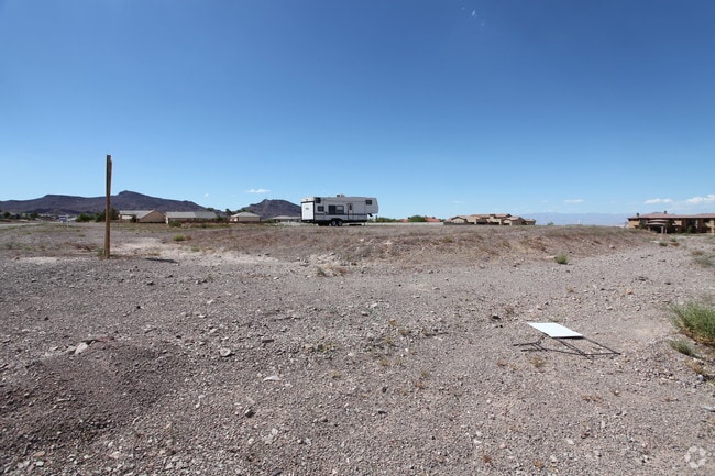
470 E Paradise Hills Dr
Las Vegas-Henderson-North Las Vegas, NV
Parcel Map File 92 Page 62
179-32-601-028
PARCEL MAP FILE 92 PAGE 62 LOT 90-2-D
Vacantlandnec
Clark
X
Nevada
32003C2955F
90-2
2026
0.98 AC
2026
SE Las Vegas/Henderson
005362
Las Vegas
DEMOGRAPHICS near 470 E Paradise Hills Dr
1 Mile
3 Mile
5 Mile
2024 Total Population
6,787
57,308
106,042
2029 Population
7,266
61,478
114,470
Pop Growth 2024-2029
+ 7.06%
+ 7.28%
+ 7.95%
Average Age
39
41
40
2024 Total Households
2,256
21,147
39,666
HH Growth 2024-2029
+ 7.00%
+ 7.31%
+ 7.96%
Median Household Inc
$98,494
$78,948
$75,026
Avg Household Size
2.90
2.60
2.60
2024 Avg HH Vehicles
2.00
2.00
2.00
Median Home Value
$399,847
$380,161
$385,401
Median Year Built
1999
1997
1998
Nearby Places
Map Layers
Map Styles
 Street
 Aerial
- Restaurants
- Banks
- Shops
- Fitness
- Groceries
PUBLIC TRANSPORTATION
AIRPORT
Boulder City Municipal
DRIVE
WALK
Distance
Boulder City Municipal
14 min
9.0 mi
Harry Reid International
DRIVE
WALK
Distance
Harry Reid International
21 min
15.9 mi
Freight Ports
Port of Long Beach
DRIVE
WALK
Distance
Port of Long Beach
319 min
284.5 mi
Nearby Properties
Address
Land Use
TOTAL SIZE
Lot Size
Zoning
Address
Land Use
TOTAL SIZE
Lot Size
Zoning
Address
Land Use
TOTAL SIZE
Lot Size
Zoning
917,210 SF
60.42 AC
Address
Land Use
TOTAL SIZE
Lot Size
Zoning
46.75 AC
PS
Address
Land Use
TOTAL SIZE
Lot Size
Zoning
81,485 SF
160.06 AC
PS
Address
Land Use
TOTAL SIZE
Lot Size
Zoning
26.83 AC
PS
Address
Land Use
TOTAL SIZE
Lot Size
Zoning
78,760 SF
1.23 AC
Address
Land Use
TOTAL SIZE
Lot Size
Zoning
23,087 SF
71.36 AC
PS
Address
Land Use
TOTAL SIZE
Lot Size
Zoning
295,238 SF
23.49 AC
IP
Address
Land Use
TOTAL SIZE
Lot Size
Zoning
71,133 SF
7.56 AC
DP
Address
Land Use
TOTAL SIZE
Lot Size
Zoning
13.05 AC
PS
Address
Land Use
TOTAL SIZE
Lot Size
Zoning
213,472 SF
7.46 AC
Address
Land Use
TOTAL SIZE
Lot Size
Zoning
4,627 SF
7.01 AC
MC
Address
Land Use
TOTAL SIZE
Lot Size
Zoning
4,148 SF
4.38 AC
MC
Address
Land Use
TOTAL SIZE
Lot Size
Zoning
2,650 SF
11.93 AC
H:RM-16-MP
Address
Land Use
TOTAL SIZE
Lot Size
Zoning
10.01 AC
PS
Address
Land Use
TOTAL SIZE
Lot Size
Zoning
416 SF
320 AC
PS
Address
Land Use
TOTAL SIZE
Lot Size
Zoning
20 AC
PS
Address
Land Use
TOTAL SIZE
Lot Size
Zoning
510.81 AC
Address
Land Use
TOTAL SIZE
Lot Size
Zoning
3,085 SF
2.51 AC
Address
Land Use
TOTAL SIZE
Lot Size
Zoning
41,199 SF
39.37 AC
Address
Land Use
TOTAL SIZE
Lot Size
Zoning
411,144 SF
22.69 AC
IP
Address
Land Use
TOTAL SIZE
Lot Size
Zoning
320 AC
DH
Address
Land Use
TOTAL SIZE
Lot Size
Zoning
9.13 AC
PS
Address
Land Use
TOTAL SIZE
Lot Size
Zoning
2,450 SF
4.95 AC
MC
Address
Land Use
TOTAL SIZE
Lot Size
Zoning
187,280 SF
12.32 AC
IP
Address
Land Use
TOTAL SIZE
Lot Size
Zoning
15.64 AC
PS
Address
Land Use
TOTAL SIZE
Lot Size
Zoning
96,892 SF
9.57 AC
H:MC
Address
Land Use
TOTAL SIZE
Lot Size
Zoning
2,138 SF
7.91 AC
RH20
The World's #1 Commercial Real Estate Marketplace
Connect with us
© 2026 CoStar Group
The information above has been obtained from sources believed reliable. While we do not doubt its accuracy we have not verified it and make no guarantee, warranty or representation about it. It is your responsibility to independently confirm its accuracy and completeness. Any projections, opinions, assumptions, or estimates used are for example only and do not represent the current or future performance of the property. The value of this transaction to you depends on tax and other factors which should be evaluated by your tax, financial, and legal advisors. You and your advisors should conduct a careful, independent investigation of the property to determine to your satisfaction the suitability of the property for your needs.