Property Record
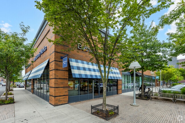
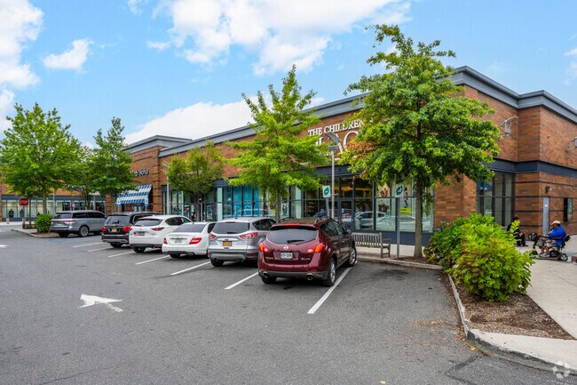
470 Gateway Dr, Brooklyn, NY 11239

Property Detail
470 Gateway Dr
04452-0505
Kings
Storebuilding
New York
C4-2
505
B and X Area of moderate flood hazard, usually the area between the limits of the 100-year and 500-year floods.
0.47 AC
2024
North Brooklyn
2025
Long Island (New York)
107001
New York-Jersey City-White Plains, NY-NJ
18,524 SF
NEARBY LISTINGS FOR SALE OR LEASE
DEMOGRAPHICS near 470 Gateway Dr
1 mile
3 mile
5 mile
2025 Total Population
47,763
532,866
1,688,321
2030 Population
47,229
513,591
1,652,679
Pop Growth 2025-2030
(1.12%)
(3.62%)
(2.11%)
Average Age
42
40
40
2025 Total Households
19,081
177,867
595,184
HH Growth 2025-2030
(1.19%)
(4.00%)
(2.38%)
Median Household Inc
$43,441
$60,989
$75,453
Avg Household Size
2.40
2.80
2.70
2025 Avg HH Vehicles
.00
1.00
1.00
Median Home Value
$650,085
$713,213
$758,809
Median Year Built
1970
1953
1948
Nearby Places
Map Layers
Map Styles
 Street
 Aerial
Transit
 Traffic
 Biking
Places
Listings with unknown addresses are not visible on the map
- Restaurants
- Banks
- Shops
- Fitness
- Groceries
PUBLIC TRANSPORTATION
COMMUTER RAIL
East New York Station (Far Rockaway Branch - Long Island Rail Road, Long Beach Branch - Long Island Rail Road, West Hempstead Branch - Long Island Rail Road)
Drive
Walk
Distance
East New York Station (Far Rockaway Branch - Long Island Rail Road, Long Beach Branch - Long Island Rail Road, West Hempstead Branch - Long Island Rail Road)
11 min
5.0 mi
Nostrand Avenue Station (Far Rockaway Branch - Long Island Rail Road, Hempstead Branch - Long Island Rail Road, Long Beach Branch - Long Island Rail Road, West Hempstead Branch - Long Island Rail Road)
Drive
Walk
Distance
Nostrand Avenue Station (Far Rockaway Branch - Long Island Rail Road, Hempstead Branch - Long Island Rail Road, Long Beach Branch - Long Island Rail Road, West Hempstead Branch - Long Island Rail Road)
16 min
6.3 mi
AIRPORT
John F Kennedy International
Drive
Walk
Distance
John F Kennedy International
13 min
7.3 mi
LaGuardia
Drive
Walk
Distance
LaGuardia
24 min
14.1 mi
Newark Liberty International
Drive
Walk
Distance
Newark Liberty International
44 min
24.1 mi
Freight Ports
NY - Red Hook Container Terminal
Drive
Walk
Distance
NY - Red Hook Container Terminal
20 min
9.5 mi
Nearby Properties
Address
Land Use
TOTAL SIZE
Lot Size
Zoning
Address
Land Use
TOTAL SIZE
Lot Size
Zoning
477.04 AC
PARKUS
Address
Land Use
TOTAL SIZE
Lot Size
Zoning
1,845,252 SF
172 AC
C8-1
Address
Land Use
TOTAL SIZE
Lot Size
Zoning
5,302 SF
366.15 AC
PARK
Address
Land Use
TOTAL SIZE
Lot Size
Zoning
1,688,760 SF
24.65 AC
R5
Address
Land Use
TOTAL SIZE
Lot Size
Zoning
61.60 AC
PARK
Address
Land Use
TOTAL SIZE
Lot Size
Zoning
600 SF
33.07 AC
PARK
Address
Land Use
TOTAL SIZE
Lot Size
Zoning
24,400 SF
33.98 AC
C4-2
Address
Land Use
TOTAL SIZE
Lot Size
Zoning
1,526,800 SF
32.39 AC
R5
Address
Land Use
TOTAL SIZE
Lot Size
Zoning
6,000 SF
110.42 AC
PARK
Address
Land Use
TOTAL SIZE
Lot Size
Zoning
1,493,793 SF
14.19 AC
R5
Address
Land Use
TOTAL SIZE
Lot Size
Zoning
1,485,000 SF
20.28 AC
R5
Address
Land Use
TOTAL SIZE
Lot Size
Zoning
1,420,000 SF
19.61 AC
R5
Address
Land Use
TOTAL SIZE
Lot Size
Zoning
511,776 SF
2.33 AC
R6
Address
Land Use
TOTAL SIZE
Lot Size
Zoning
363,548 SF
1.81 AC
Address
Land Use
TOTAL SIZE
Lot Size
Zoning
229,456 SF
4.15 AC
M1-1
Address
Land Use
TOTAL SIZE
Lot Size
Zoning
28.64 AC
PARK
Address
Land Use
TOTAL SIZE
Lot Size
Zoning
474,715 SF
1.72 AC
M14R8A
Address
Land Use
TOTAL SIZE
Lot Size
Zoning
1,136,208 SF
30.25 AC
R5
Address
Land Use
TOTAL SIZE
Lot Size
Zoning
4,761.05 AC
PARK
Address
Land Use
TOTAL SIZE
Lot Size
Zoning
997,720 SF
8.23 AC
R5
Address
Land Use
TOTAL SIZE
Lot Size
Zoning
158,402 SF
3.64 AC
C4-2
Address
Land Use
TOTAL SIZE
Lot Size
Zoning
22.96 AC
PARK
Address
Land Use
TOTAL SIZE
Lot Size
Zoning
940,800 SF
11.55 AC
R5
Address
Land Use
TOTAL SIZE
Lot Size
Zoning
203,132 SF
3.09 AC
C4-2
Address
Land Use
TOTAL SIZE
Lot Size
Zoning
1,622,073 SF
10.69 AC
R6
Address
Land Use
TOTAL SIZE
Lot Size
Zoning
29.68 AC
C4-2
Address
Land Use
TOTAL SIZE
Lot Size
Zoning
552,216 SF
9.41 AC
R4
Address
Land Use
TOTAL SIZE
Lot Size
Zoning
205,831 SF
0.78 AC
R8A
Address
Land Use
TOTAL SIZE
Lot Size
Zoning
1,382,400 SF
10.67 AC
R6
Address
Land Use
TOTAL SIZE
Lot Size
Zoning
183,070 SF
4.47 AC
M1-1
The World's #1 Commercial Real Estate Marketplace
Connect with us
© 2026 CoStar Group
The information above has been obtained from sources believed reliable. While we do not doubt its accuracy we have not verified it and make no guarantee, warranty or representation about it. It is your responsibility to independently confirm its accuracy and completeness. Any projections, opinions, assumptions, or estimates used are for example only and do not represent the current or future performance of the property. The value of this transaction to you depends on tax and other factors which should be evaluated by your tax, financial, and legal advisors. You and your advisors should conduct a careful, independent investigation of the property to determine to your satisfaction the suitability of the property for your needs.