Property Record
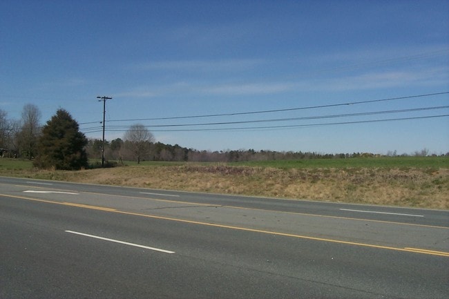
4701 Highway 74 E, Wingate, NC 28174

Property Detail
4701 Highway 74 E
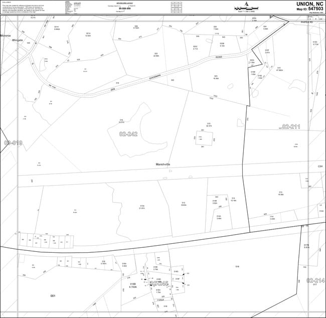
02-242-012
5905-591
Industrialgeneral
UNION
HC WINGATE
North Carolina
AE The base floodplain where base flood elevations are provided. AE Zones are now used on new format FIRMs instead of A1-A30 Zones.
34.77 AC
2025
Union County
2025
Charlotte
020702
Charlotte-Concord-Gastonia, NC-SC
NEARBY LISTINGS FOR SALE OR LEASE
DEMOGRAPHICS near 4701 Highway 74 E
1 mile
3 mile
5 mile
2025 Total Population
2,900
8,861
20,041
2030 Population
3,061
9,508
21,781
Pop Growth 2025-2030
+ 5.55%
+ 7.30%
+ 8.68%
Average Age
31
36
38
2025 Total Households
557
2,490
6,377
HH Growth 2025-2030
+ 7.00%
+ 8.11%
+ 9.17%
Median Household Inc
$52,222
$61,023
$67,168
Avg Household Size
2.70
2.70
2.70
2025 Avg HH Vehicles
2.00
2.00
2.00
Median Home Value
$310,000
$293,041
$326,402
Median Year Built
1989
1989
1987
Nearby Places
Map Layers
Map Styles
 Street
 Aerial
Transit
 Traffic
 Biking
Places
Listings with unknown addresses are not visible on the map
- Restaurants
- Banks
- Shops
- Fitness
- Groceries
Nearby Properties
Address
Land Use
TOTAL SIZE
Lot Size
Zoning
Address
Land Use
TOTAL SIZE
Lot Size
Zoning
138,123 SF
113.13 AC
B-1 WINGAT
Address
Land Use
TOTAL SIZE
Lot Size
Zoning
68,870 SF
33.25 AC
HC WINGATE
Address
Land Use
TOTAL SIZE
Lot Size
Zoning
68,258 SF
3.39 AC
R-20 WINGA
Address
Land Use
TOTAL SIZE
Lot Size
Zoning
138,165 SF
135.17 AC
HC UNION C
Address
Land Use
TOTAL SIZE
Lot Size
Zoning
28,468 SF
3.51 AC
B-1 WINGAT
Address
Land Use
TOTAL SIZE
Lot Size
Zoning
88,806 SF
15.72 AC
IND MARSHV
Address
Land Use
TOTAL SIZE
Lot Size
Zoning
69,549 SF
13 AC
IND MARSHV
Address
Land Use
TOTAL SIZE
Lot Size
Zoning
28.93 AC
Address
Land Use
TOTAL SIZE
Lot Size
Zoning
40,297 SF
7.95 AC
CD MONROE
Address
Land Use
TOTAL SIZE
Lot Size
Zoning
74,070 SF
15.61 AC
CIV MARSHV
Address
Land Use
TOTAL SIZE
Lot Size
Zoning
26,600 SF
161.03 AC
RA-40 UNIO
Address
Land Use
TOTAL SIZE
Lot Size
Zoning
4,575 SF
5.10 AC
TMU MARSHV
Address
Land Use
TOTAL SIZE
Lot Size
Zoning
64,743 SF
13.82 AC
R-20 WINGA
Address
Land Use
TOTAL SIZE
Lot Size
Zoning
164.35 AC
R-20 MONRO
Address
Land Use
TOTAL SIZE
Lot Size
Zoning
15,103 SF
2.01 AC
B-1 WINGAT
Address
Land Use
TOTAL SIZE
Lot Size
Zoning
98,000 SF
14.92 AC
G-I MONROE
Address
Land Use
TOTAL SIZE
Lot Size
Zoning
28 AC
IND MARSHV
Address
Land Use
TOTAL SIZE
Lot Size
Zoning
4,252 SF
2.60 AC
R-6 WINGAT
Address
Land Use
TOTAL SIZE
Lot Size
Zoning
28,512 SF
13.74 AC
B-1 WINGAT
Address
Land Use
TOTAL SIZE
Lot Size
Zoning
64.18 AC
CD MONROE
Address
Land Use
TOTAL SIZE
Lot Size
Zoning
288 SF
6.24 AC
R-6 WINGAT
Address
Land Use
TOTAL SIZE
Lot Size
Zoning
21,804 SF
0.48 AC
R-20 WINGA
Address
Land Use
TOTAL SIZE
Lot Size
Zoning
21,804 SF
0.92 AC
R-6 WINGAT
Address
Land Use
TOTAL SIZE
Lot Size
Zoning
17,304 SF
0.61 AC
B-6 WINGAT
Address
Land Use
TOTAL SIZE
Lot Size
Zoning
7,000 SF
37.71 AC
LI WINGATE
Address
Land Use
TOTAL SIZE
Lot Size
Zoning
25,794 SF
1.80 AC
R-6 WINGAT
Address
Land Use
TOTAL SIZE
Lot Size
Zoning
67,695 SF
6.24 AC
HC WINGATE
Address
Land Use
TOTAL SIZE
Lot Size
Zoning
92,712 SF
21.10 AC
G-I MONROE
Address
Land Use
TOTAL SIZE
Lot Size
Zoning
74.96 AC
G-I MONROE
Address
Land Use
TOTAL SIZE
Lot Size
Zoning
115.01 AC
AG MARSHVI
The World's #1 Commercial Real Estate Marketplace
Connect with us
© 2026 CoStar Group
The information above has been obtained from sources believed reliable. While we do not doubt its accuracy we have not verified it and make no guarantee, warranty or representation about it. It is your responsibility to independently confirm its accuracy and completeness. Any projections, opinions, assumptions, or estimates used are for example only and do not represent the current or future performance of the property. The value of this transaction to you depends on tax and other factors which should be evaluated by your tax, financial, and legal advisors. You and your advisors should conduct a careful, independent investigation of the property to determine to your satisfaction the suitability of the property for your needs.