Property Record
4706 Leander Rd, Georgetown, TX 78628

Save to a Folder
{{folder.Name}}
{{folder.ListingIds.length}} Properties
{{folder.ListingIds.length}} Property
Create a New Folder
Property Detail
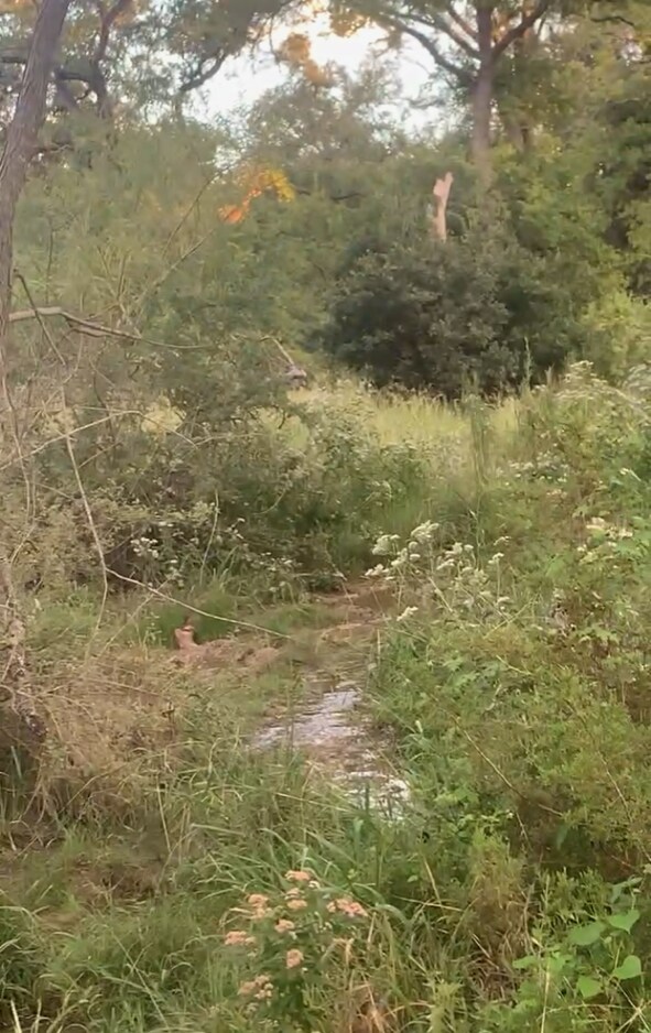
4706 Leander Rd
Austin-Round Rock-San Marcos, TX
AW0608 AW0608 - THOMPSON, J. SUR., TRACT B (PT), ACRES 13.96
R472554
WILLIAMSON
Agriculturalland
Texas
B and X Area of moderate flood hazard, usually the area between the limits of the 100-year and 500-year floods.
undiv
2024
8.64 AC
2025
Georgetown
020121
Austin
NEARBY LISTINGS FOR SALE OR LEASE
DEMOGRAPHICS near 4706 Leander Rd
1 mile
3 mile
5 mile
2025 Total Population
2,181
22,473
86,485
2030 Population
2,684
26,302
100,933
Pop Growth 2025-2030
+ 23.06%
+ 17.04%
+ 16.71%
Average Age
41
38
38
2025 Total Households
750
7,568
30,743
HH Growth 2025-2030
+ 23.20%
+ 17.73%
+ 17.40%
Median Household Inc
$273,005
$173,527
$149,577
Avg Household Size
2.90
3.00
2.80
2025 Avg HH Vehicles
3.00
2.00
2.00
Median Home Value
$1,106,775
$657,360
$604,862
Median Year Built
2011
2011
2010
Nearby Places
Map Layers
Map Styles
 Street
 Aerial
Layers
 Traffic
 Biking
Places
Listings with unknown addresses are not visible on the map
- Restaurants
- Banks
- Shops
- Fitness
- Groceries
PUBLIC TRANSPORTATION
AIRPORT
Austin-Bergstrom International
Drive
Walk
Distance
Austin-Bergstrom International
56 min
40.7 mi
Killeen Municipal
Drive
Walk
Distance
Killeen Municipal
61 min
46.5 mi
Robert Gray AAF
Drive
Walk
Distance
Robert Gray AAF
67 min
48.2 mi
SALE & LEASE HISTORY
LISTING DATE
SALE/LEASE

Mar 09, 2023
For Sale
Nearby Properties
Address
Land Use
TOTAL SIZE
Lot Size
Zoning
Address
Land Use
TOTAL SIZE
Lot Size
Zoning
163.59 AC
Address
Land Use
TOTAL SIZE
Lot Size
Zoning
2,992 SF
402.55 AC
Address
Land Use
TOTAL SIZE
Lot Size
Zoning
40,042 SF
19.78 AC
Address
Land Use
TOTAL SIZE
Lot Size
Zoning
53,794 SF
19.77 AC
Address
Land Use
TOTAL SIZE
Lot Size
Zoning
111.57 AC
Address
Land Use
TOTAL SIZE
Lot Size
Zoning
125,929 SF
2.18 AC
Address
Land Use
TOTAL SIZE
Lot Size
Zoning
15.60 AC
Address
Land Use
TOTAL SIZE
Lot Size
Zoning
1,564 SF
123.64 AC
Address
Land Use
TOTAL SIZE
Lot Size
Zoning
9.79 AC
Address
Land Use
TOTAL SIZE
Lot Size
Zoning
13,131 SF
11.99 AC
Address
Land Use
TOTAL SIZE
Lot Size
Zoning
13,217 SF
3 AC
Address
Land Use
TOTAL SIZE
Lot Size
Zoning
22,798 SF
7.21 AC
Address
Land Use
TOTAL SIZE
Lot Size
Zoning
16,512 SF
5.90 AC
Address
Land Use
TOTAL SIZE
Lot Size
Zoning
2,195 SF
76.09 AC
Address
Land Use
TOTAL SIZE
Lot Size
Zoning
1,508 SF
7.01 AC
Address
Land Use
TOTAL SIZE
Lot Size
Zoning
13,217 SF
1.80 AC
Address
Land Use
TOTAL SIZE
Lot Size
Zoning
17,032 SF
3.65 AC
Address
Land Use
TOTAL SIZE
Lot Size
Zoning
11,129 SF
19.47 AC
Address
Land Use
TOTAL SIZE
Lot Size
Zoning
7,180 SF
4.72 AC
Address
Land Use
TOTAL SIZE
Lot Size
Zoning
13,710 SF
3.65 AC
Address
Land Use
TOTAL SIZE
Lot Size
Zoning
4,698 SF
1.50 AC
Address
Land Use
TOTAL SIZE
Lot Size
Zoning
17,426 SF
2.46 AC
Address
Land Use
TOTAL SIZE
Lot Size
Zoning
Address
Land Use
TOTAL SIZE
Lot Size
Zoning
Address
Land Use
TOTAL SIZE
Lot Size
Zoning
Address
Land Use
TOTAL SIZE
Lot Size
Zoning
45.29 AC
Address
Land Use
TOTAL SIZE
Lot Size
Zoning
2,393 SF
28.22 AC
Address
Land Use
TOTAL SIZE
Lot Size
Zoning
1,017 SF
56.35 AC
Address
Land Use
TOTAL SIZE
Lot Size
Zoning
Address
Land Use
TOTAL SIZE
Lot Size
Zoning
11,854 SF
5 AC
The World's #1 Commercial Real Estate Marketplace
Connect with us
© 2026 CoStar Group
The information above has been obtained from sources believed reliable. While we do not doubt its accuracy we have not verified it and make no guarantee, warranty or representation about it. It is your responsibility to independently confirm its accuracy and completeness. Any projections, opinions, assumptions, or estimates used are for example only and do not represent the current or future performance of the property. The value of this transaction to you depends on tax and other factors which should be evaluated by your tax, financial, and legal advisors. You and your advisors should conduct a careful, independent investigation of the property to determine to your satisfaction the suitability of the property for your needs.