Property Record
4650 Hedges Dr, Memphis, TN 38128


NEARBY LISTINGS FOR SALE OR LEASE
-
-
View all Memphis listings for sale on LoopNet.com
Property Detail
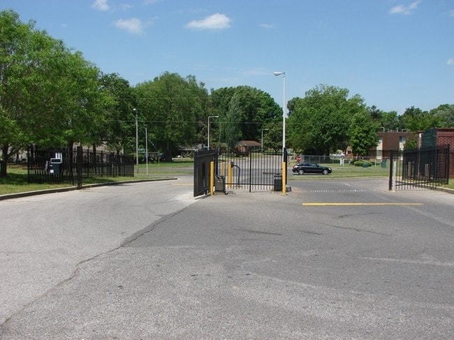
4650 Hedges Dr
09-0022-0-0004
R J Pearson Subdivision
Apartment
SE S NEW ALLEN RD COR KERWIN DR (SW)
X
Shelby
47157C0170F
Tennessee
2024
36.87 AC
2025
Raleigh
020523
Memphis
11,645 SF
Memphis, TN-MS-AR
DEMOGRAPHICS near 4650 Hedges Dr
1 Mile
3 Mile
5 Mile
2024 Total Population
7,867
35,227
99,621
2029 Population
7,846
34,793
98,005
Pop Growth 2024-2029
(0.27%)
(1.23%)
(1.62%)
Average Age
31
35
36
2024 Total Households
2,636
12,358
36,124
HH Growth 2024-2029
(0.30%)
(1.28%)
(1.74%)
Median Household Inc
$33,420
$40,287
$48,569
Avg Household Size
2.80
2.80
2.70
2024 Avg HH Vehicles
1.00
2.00
2.00
Median Home Value
$82,176
$105,357
$141,330
Median Year Built
1979
1977
1974
Nearby Places
Map Layers
Map Styles
 Street
 Aerial
- Restaurants
- Banks
- Shops
- Fitness
- Groceries
PUBLIC TRANSPORTATION
AIRPORT
Memphis International
DRIVE
WALK
Distance
Memphis International
28 min
16.6 mi
Freight Ports
Port of Shreveport
DRIVE
WALK
Distance
Port of Shreveport
415 min
380.5 mi
SALE & LEASE HISTORY
LISTING DATE
SALE/LEASE

Jun 11, 2025
For Sale
Feb 27, 2017
For Sale
Apr 04, 2017
For Sale
Nearby Properties
Address
Land Use
TOTAL SIZE
Lot Size
Zoning
Address
Land Use
TOTAL SIZE
Lot Size
Zoning
1,709,372 SF
28.70 AC
EMP
Address
Land Use
TOTAL SIZE
Lot Size
Zoning
1,146,617 SF
62.32 AC
EMP
Address
Land Use
TOTAL SIZE
Lot Size
Zoning
917,056 SF
65.53 AC
EMP
Address
Land Use
TOTAL SIZE
Lot Size
Zoning
78,603 SF
23.30 AC
R-6
Address
Land Use
TOTAL SIZE
Lot Size
Zoning
39,018 SF
22.21 AC
RU-2
Address
Land Use
TOTAL SIZE
Lot Size
Zoning
22,798 SF
9.63 AC
RU-3
Address
Land Use
TOTAL SIZE
Lot Size
Zoning
336,821 SF
196.54 AC
IH
Address
Land Use
TOTAL SIZE
Lot Size
Zoning
45,939 SF
5.70 AC
R-10
Address
Land Use
TOTAL SIZE
Lot Size
Zoning
181,319 SF
14.82 AC
CMU-2
Address
Land Use
TOTAL SIZE
Lot Size
Zoning
90,574 SF
40.74 AC
EMP
Address
Land Use
TOTAL SIZE
Lot Size
Zoning
201,722 SF
64.13 AC
EMP
Address
Land Use
TOTAL SIZE
Lot Size
Zoning
75,401 SF
309.54 AC
IH
Address
Land Use
TOTAL SIZE
Lot Size
Zoning
152,631 SF
31.59 AC
IH
Address
Land Use
TOTAL SIZE
Lot Size
Zoning
32,116 SF
7.61 AC
R-6
Address
Land Use
TOTAL SIZE
Lot Size
Zoning
350,258 SF
388.54 AC
IH
Address
Land Use
TOTAL SIZE
Lot Size
Zoning
180,630 SF
21.89 AC
CMU-2
Address
Land Use
TOTAL SIZE
Lot Size
Zoning
50,538 SF
5 AC
R-10
Address
Land Use
TOTAL SIZE
Lot Size
Zoning
93,514 SF
12.47 AC
R-8
Address
Land Use
TOTAL SIZE
Lot Size
Zoning
66.90 AC
CMU-2
Address
Land Use
TOTAL SIZE
Lot Size
Zoning
22,925 SF
13.53 AC
RU-3
Address
Land Use
TOTAL SIZE
Lot Size
Zoning
23,730 SF
342.10 AC
IH
Address
Land Use
TOTAL SIZE
Lot Size
Zoning
114,197 SF
8.60 AC
CMU-2
Address
Land Use
TOTAL SIZE
Lot Size
Zoning
40,030 SF
3.40 AC
CMU-2
Address
Land Use
TOTAL SIZE
Lot Size
Zoning
66,012 SF
5.71 AC
RU-3
Address
Land Use
TOTAL SIZE
Lot Size
Zoning
14,764 SF
13.18 AC
R-8
Address
Land Use
TOTAL SIZE
Lot Size
Zoning
53,204 SF
11.81 AC
CMU-2
Address
Land Use
TOTAL SIZE
Lot Size
Zoning
8,854 SF
52.09 AC
R-8
Address
Land Use
TOTAL SIZE
Lot Size
Zoning
63,815 SF
30 AC
IH
Address
Land Use
TOTAL SIZE
Lot Size
Zoning
15 AC
CMP-1
The World's #1 Commercial Real Estate Marketplace
Connect with us
© 2025 CoStar Group
The information above has been obtained from sources believed reliable. While we do not doubt its accuracy we have not verified it and make no guarantee, warranty or representation about it. It is your responsibility to independently confirm its accuracy and completeness. Any projections, opinions, assumptions, or estimates used are for example only and do not represent the current or future performance of the property. The value of this transaction to you depends on tax and other factors which should be evaluated by your tax, financial, and legal advisors. You and your advisors should conduct a careful, independent investigation of the property to determine to your satisfaction the suitability of the property for your needs.